Reno in Washoe County, Nevada — The American Mountains (Southwest)
The Reno Depots
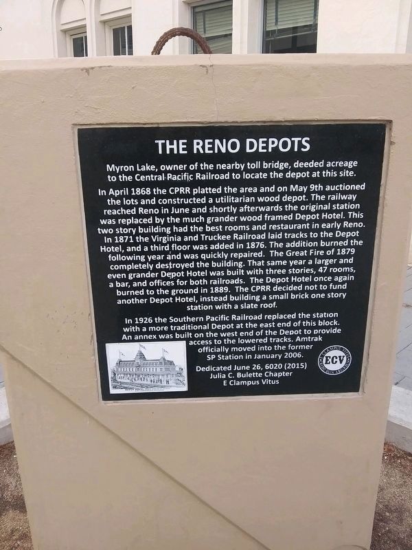
Myron Lake, owner of the nearby toll bridge, deeded acreage to the Central Pacific Railroad to locate the depot at this site. In April 1868 the CPRR platted the area and on May 9th auctioned the lots and constructed a utilitarian wood depot. The railway reached Reno in June and shortly afterwards the original station was replaced by the much grander wood framed Depot Hotel. This two story building had the best rooms and restaurant in early Reno. In 1871 the Virginia and Truckee Railroad laid tracks to the Depot Hotel, and a third floor was added in 1876. The addition burned the following year and was quickly repaired. The Great Fire of 1879 completely destroyed the building. That same year a larger and even grander Depot Hotel was built with three stories, 47 rooms, a bar, and offices for both railroads. The Depot Hotel once again burned to the ground in 1889. The CPRR decided not to fund another Depot Hotel, instead building a small brick one story station with a slate roof.
In 1926 the Southern Pacific Railroad replaced the station with a more traditional Depot at the east end of this block. An annex was built on the west end of the Depot to provide access to the lowered tracks. Amtrak officially moved into the former SP Station in January 2006.
Dedicated June 26, 6020 (2015)
Julia C. Bulette Chapter
E Clampus Vitus
Erected 2015 by Julia C. Bulette Chapter, E Clampus Vitus.
Topics and series. This historical marker is listed in this topic list: Railroads & Streetcars. In addition, it is included in the E Clampus Vitus series list. A significant historical year for this entry is 1871.
Location. 39° 31.725′ N, 119° 48.674′ W. Marker is in Reno, Nevada, in Washoe County. Marker is at the intersection of Lake Street and East Commercial Row, on the left when traveling north on Lake Street. Touch for map. Marker is in this post office area: Reno NV 89501, United States of America. Touch for directions.
Other nearby markers. At least 8 other markers are within walking distance of this marker. "Sister Act" (about 800 feet away, measured in a direct line); Jacob Davis's Tailor Shop (approx. 0.2 miles away); Votes for Women (approx. 0.2 miles away); Reno at the Crossroads (approx. 0.2 miles away); Ginsburg Jewelry Company (approx. ¼ mile away); Salvation Army (approx. ¼ mile away); The Reno Arch (approx. ¼ mile away); The Virginia Street Bridges (approx. ¼ mile away). Touch for a list and map of all markers in Reno.
Credits. This page was last revised on March 3, 2021. It was originally submitted on March 2, 2021, by Lance C Johnson of Sun Valley, Nevada. This page has been viewed 187 times since then and 24 times this year. Photo 1. submitted on March 2, 2021, by Lance C Johnson of Sun Valley, Nevada. • J. Makali Bruton was the editor who published this page.
