North Park in Billings in Yellowstone County, Montana — The American West (Mountains)
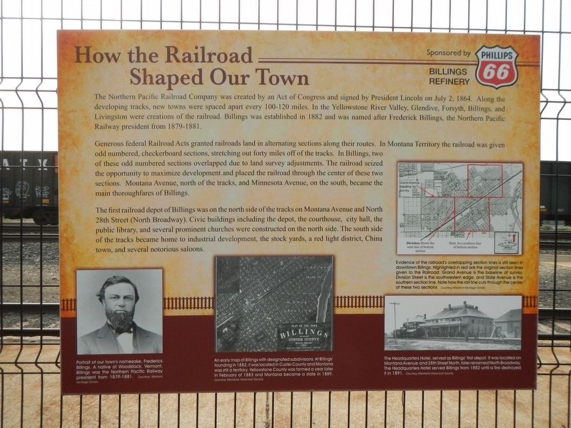
How the Railroad Shaped Our Town

Photographed By Barry Swackhamer, September 15, 2020
1. How the Railroad Shaped Our Town Marker
Captions: (middle right) Evidence of the railroads overlapping section lines is still seen in downtown Billings. Highlighted in red are the original section lines given to the Railroad. Grand Avenue is the baseline of survey. Division Street is the southwestern edge, and State Avenue is the southern section line. Note how the rail line cuts through the center of these two sections.; (lower left) Portrait of our town's namesake, Frederick Billings. A native of Woodstock, Vermont, Billings was the Northern Pacific Railway president from 1879-1881.; (lower center) An early map of Billings with designated subdivisions. At Billings' founding in 1882, it was located in Custer County and Montana was still a territory. Yellowstone County was formed a year later in February of 1883 and Montana became a state in 1889.; (lower right) The Headquarters Hotel, served as Billings' first depot. It was located on Montana Avenue and 28th Street North, later renamed North Broadway. The Headquarters Hotel served Billings from 1882 until a fire destroyed it in 1891.
Generous federal Railroad Acts granted railroads land in alternating sections along their routes. In Montana Territory the railroad was given odd numbered, checkerboard sections, stretching out forty miles off of track. In Billings, two of these odd numbered sections overlapped due to land survey adjustments. The railroad seized the opportunity to maximize development and placed the railroad through the center of these two sections. Montana Avenue, north of the tracks, and Minnesota Avenue, on the south. became the main thoroughfares of Billings.
The first railroad depot of Billings was on the north side of the tracks on Montana Avenue and North 28th Street (North Broadway). Civic buildings including the depot, the courthouse, city hall, the public library, and several prominent churches were constructed on the north side. The south side of the tracks became home to industrial development, the stock yards, red light district, China town, and several notorious saloons.
Topics. This historical marker is listed in these topic lists: Railroads & Streetcars • Settlements & Settlers.
Location. 45° 47.072′ N, 108° 29.851′ W. Marker is in Billings, Montana, in Yellowstone County. It is in North Park. Marker is on Montana Avenue (Business Interstate 90) near North 22nd Street, on the right when traveling east. Touch for map. Marker is at or near this postal address: 2200 Montana Avenue, Billings MT 59101, United States of America. Touch for directions.
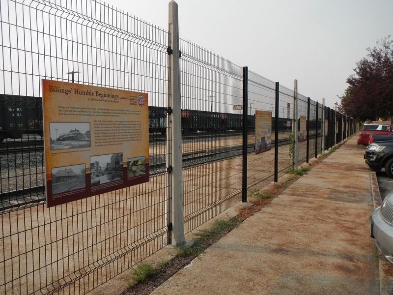
Other nearby markers. At least 8 other markers are within walking distance of this marker. Billings' Humble Beginnings (here, next to this marker); Montana's 70 Million Year Old Beach (here, next to this marker); Explorer, Guide, and Hunter (a few steps from this marker); Children of the Large-Beaked Bird (within shouting distance of this marker); The Fight or Flight of the Nez Perce (within shouting distance of this marker); Battle of the Little Bighorn (within shouting distance of this marker); Billings' Chinatown (within shouting distance of this marker); The Purity Bread Company (within shouting distance of this marker). Touch for a list and map of all markers in Billings.
Credits. This page was last revised on February 16, 2023. It was originally submitted on March 5, 2021, by Barry Swackhamer of Brentwood, California. This page has been viewed 255 times since then and 41 times this year. Photos: 1, 2. submitted on March 5, 2021, by Barry Swackhamer of Brentwood, California.
