
Woodbine in Camden County, Georgia — The American South (South Atlantic)
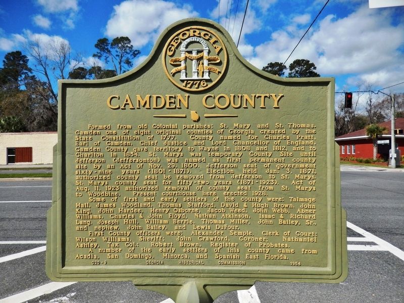
Camden County
Photographed by Cosmos Mariner, March 11, 2021
1. Camden County Marker
Some of first and early settlers of the county were: Talmage Hall, James Woodland, Thomas Stafford, David & Hugh Brown, John King, John Hardee, Henry Osborne, Jacob Weed, John Web, Abner Williams, Charles & John Floyd, Nathan Atkinson, Isaac & Richard Lang, Joseph Hull, William Berrie, Thomas Miller, John Bailey, Sr., and nephew, John Bailey, and
this page online
First County officers were: Alexander Semple, Clerk of Court; Wilson Williams, Sheriff; John Crawford, Coroner; Nathaniel Ashley, Tax Col.; Robert Brown, Register of Probates.
A number of the early settlers of this county came from Acadia, San Domingo, Minorca, and Spanish East Florida.
Erected 1954 by Georgia Historical Commission. (Marker Number 020-9.)
Topics and series. This historical marker is listed in these topic lists: Political Subdivisions • Settlements & Settlers. In addition, it is included in the Georgia Historical Society series list. A significant historical year for this entry is 1777.
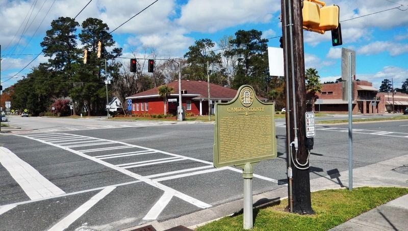
Location. 30° 58.063′ N, 81° 43.406′ W. Marker is in Woodbine, Georgia, in Camden County. It is at the intersection of Bedell Avenue (Georgia Hwy 25) (U.S. 17) and East 4th Street, on the right when traveling north on Bedell Avenue (Georgia Hwy 25). Marker is located at the southeast corner of the intersection. Touch for map. Marker is at or near this postal address: 405 Bedell Avenue, Woodbine GA 31569, United States of America. Touch for directions.

Regionally, this marker is in the Coastal Plain and on the Georgia
Photographed by Cosmos Mariner, March 11, 2021
2. Camden County Marker
Other nearby markers. At least 8 other markers are within 14 miles of this marker, measured as the crow flies: Loading Timber Products and Turpentine (about 500 feet away, measured in a direct line); Camden County War Memorial (about 800 feet away); Refuge Plantation (approx. 1.2 miles away); Post Road (approx. 6.8 miles away); Tre Francesco Porfirio (approx. 11.8 miles away); Joe H. Joseph / Hammond Roberts (approx. 11.8 miles away); Jacob Joseph (approx. 11.8 miles away); Treaty of Coleraine (approx. 13.7 miles away). Touch for a list and map of all markers in Woodbine.
Also see . . . Camden County (Wikipedia). Between 1776 and 1778 Camden County saw the
Photographed by Cosmos Mariner, March 11, 2021
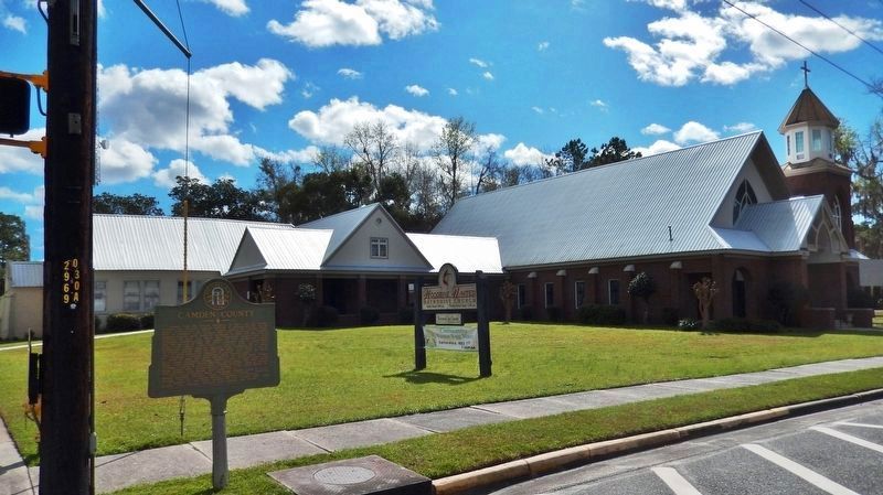
3. Camden County Marker
Photographed by Cosmos Mariner, March 11, 2021
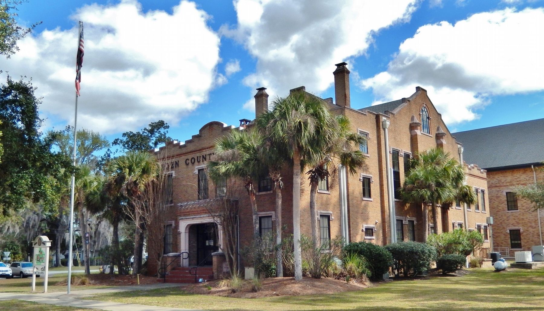
4. 1928 Camden County Courthouse
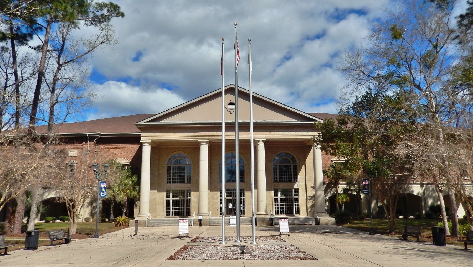
Photographed by Cosmos Mariner, March 11, 2021
5. Camden County Courthouse
Credits. This page was last revised on March 11, 2021. It was originally submitted on March 6, 2021, by Cosmos Mariner of Cape Canaveral, Florida. This page has been viewed 479 times since then and 35 times this year. Photos: 1, 2, 3, 4, 5. submitted on March 11, 2021, by Cosmos Mariner of Cape Canaveral, Florida.
