Simpsonville in Greenville County, South Carolina — The American South (South Atlantic)
Standing Springs Baptist Church
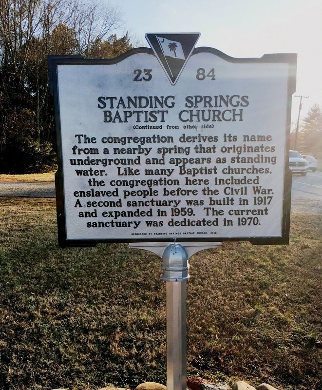
Inscription.
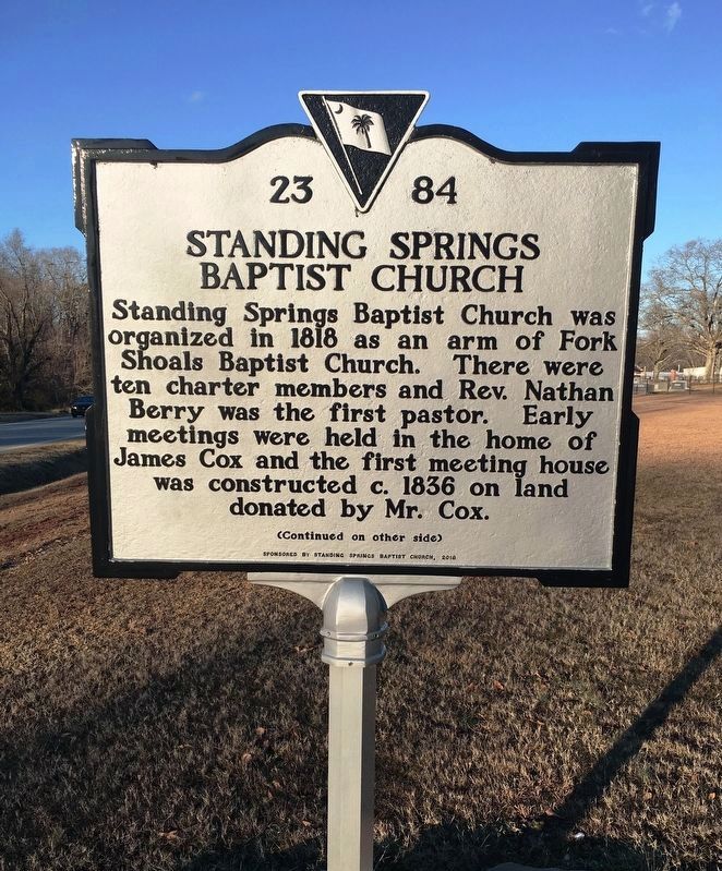
(front)
Standing Springs Baptist Church was organized in 1818 as an arm of Fork Shoals Baptist Church. There were te0n charter members and Rev. Nathan Berry was the first pastor. Early meetings were held in the home of James Cox and the first meeting house was constructed c. 1836 on land donated by Mr. Cox.
Erected 2018 by Standing Springs Baptist Church. (Marker Number 23-84.)
Topics. This historical marker is listed in this topic list: Churches & Religion.
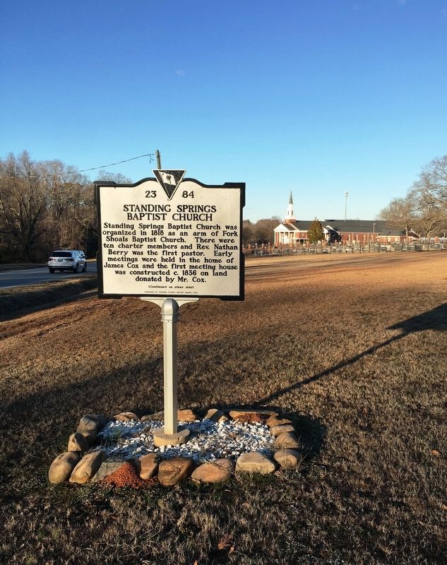
Location. 34° 43.539′ N, 82° 17.441′ W. Marker is in Simpsonville, South Carolina, in Greenville County. Marker is on West Georgia Road, 0.2 miles north of Stenhouse Road. Located at the extreme south end of church property. Touch for map. Marker is at or near this postal address: 111 W Georgia Rd, Simpsonville SC 29680, United States of America. Touch for directions.
Other nearby markers. At least 8 other markers are within 3 miles of this marker, measured as the crow flies. Simpsonville Cotton Mill / Woodside Mill (approx. 2 miles away); Simpsonville Veterans Memorial (approx. 2.1 miles away); Simpsonville Methodist Church (approx. 2.1 miles away); Old Stage Road / Railroads in Simpsonville (approx. 2.2 miles away); Lawrence Lafayette Richardson, M.D. (approx. 2.2 miles away); Hendricks' Plaza (approx. 2.2 miles away); Simpsonville Clock Tower (approx. 2.2 miles away); Simpsonville (approx. 2.2 miles away). Touch for a list and map of all markers in Simpsonville.
Also see . . . Standing Springs Baptist Church. (Submitted on March 12, 2021.)
Credits. This page was last revised on March 12, 2021. It was originally submitted on March 11, 2021, by Brandon D Cross of Flagler Beach, Florida. This page has been viewed 254 times since then and 37 times this year. Photos: 1, 2, 3. submitted on March 11, 2021, by Brandon D Cross of Flagler Beach, Florida. • Bernard Fisher was the editor who published this page.


