Near Hohenwald in Lewis County, Tennessee — The American South (East South Central)
Tennessee's Mormon Massacre
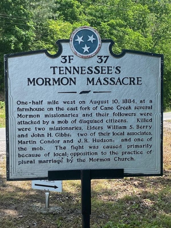
One-half mile west on August 10, 1884, at a farmhouse on the east fork of Cane Creek several Mormon missionaries and their followers were attacked by a mob of disguised citizens. Killed were two missionaries, Elders William S. Berry and John H. Gibbs; two of their local associates, Martin Conder and J. R. Hudson; and one of the mob. The fight was caused primarily because of local opposition to the practice of plural marriage by the Mormon Church.
Erected by Tennessee Historical Commission. (Marker Number 3F 37.)
Topics and series. This historical marker is listed in this topic list: Churches & Religion. In addition, it is included in the Tennessee Historical Commission series list. A significant historical date for this entry is August 10, 1884.
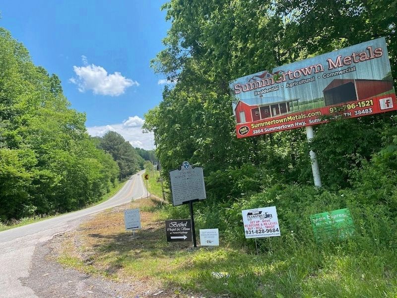
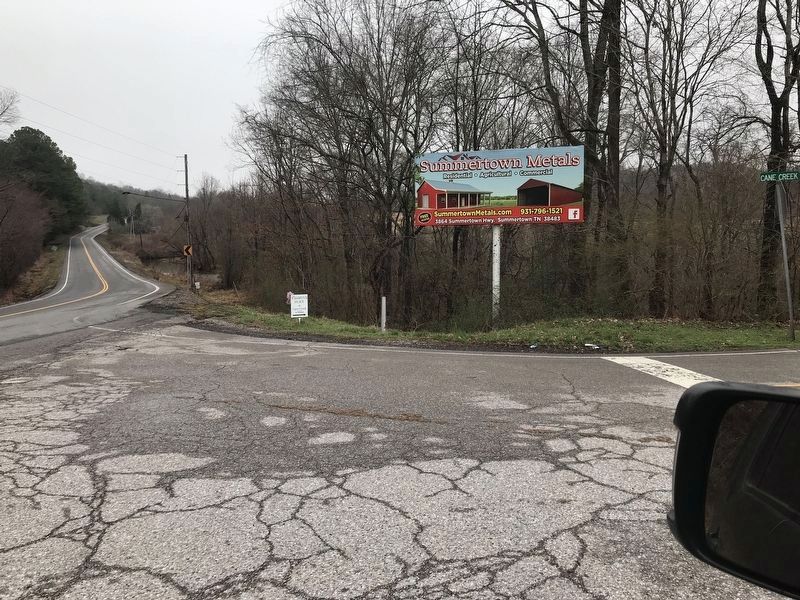
Location. 35° 36.269′ N, 87° 33.729′ W. Marker is near Hohenwald, Tennessee, in Lewis County. Marker is at the intersection of Centerville Highway (Tennessee Route 48) and Cane Creek Road, on the right when traveling south on Centerville Highway. Touch for map. Marker is at or near this postal address: 1503 Centerville Highway, Hohenwald TN 38462, United States of America. Touch for directions.
Other nearby markers. At least 8 other markers are within 4 miles of this marker, measured as the crow flies. Hickman County / Lewis County (approx. 2.1 miles away); Lewis County War Memorial (approx. 3.8 miles away); Civil War in Lewis County (approx. 3.9 miles away); Hattie Louise "Tootsie" Bess (approx. 4 miles away); Hohenwald Neighborhood (approx. 4 miles away); New Switzerland (approx. 4 miles away); New Switzerland II (approx. 4 miles away); Founding of Hohenwald (approx. 4 miles away). Touch for a list and map of all markers in Hohenwald.
Credits. This page was last revised on May 31, 2023. It was originally submitted on March 14, 2021, by Duane and Tracy Marsteller of Murfreesboro, Tennessee. This page has been viewed 2,133 times since then and 304 times this year. Photos: 1. submitted on May 30, 2023, by Darren Jefferson Clay of Duluth, Georgia. 2. submitted on April 1, 2021, by Duane and Tracy Marsteller of Murfreesboro, Tennessee. 3. submitted on May 30, 2023, by Darren Jefferson Clay of Duluth, Georgia. 4, 5. submitted on March 14, 2021, by Duane and Tracy Marsteller of Murfreesboro, Tennessee.
