Manning in Carroll County, Iowa — The American Midwest (Upper Plains)
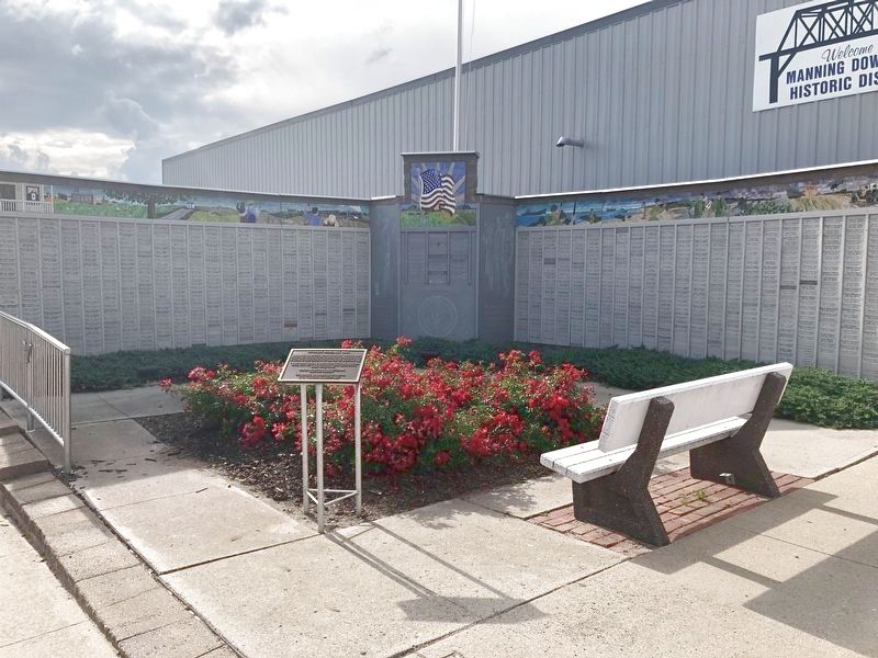
Veterans Memorial Wall Manning, Iowa
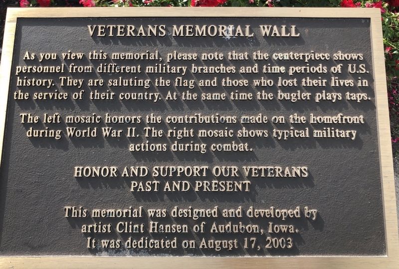
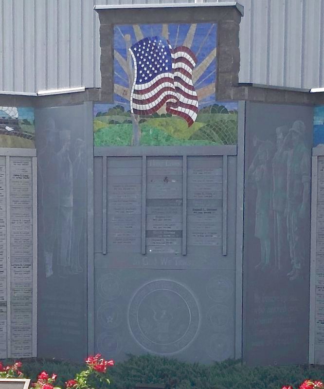
The left mosaic honors the contributions made on the home front during world War II. The right mosaic shows typical military actions during combat.
Honor and Support our Veterans
Pas and Present
This memorial was designed and developed by
Artist Clint Hansen of Audubon, Iowa.
It was dedicated on August 17, 2003
Erected 2003.
Topics. This memorial is listed in this topic list: War, World II.
Location. 41° 54.433′ N, 95° 3.918′ W. Marker is in Manning, Iowa, in Carroll County. Memorial is at the intersection of Main Street and 5th Street, on the right when traveling south on Main Street. Touch for map. Marker is at or near this postal address: 201 Main St, Manning IA 51455, United States of America. Touch for directions.
Other nearby markers. At least 8 other markers are within 15 miles of this marker, measured as the crow flies. Manning Freedom Rock Veterans Memorial (approx. 0.6 miles away); Manilla Freedom Rock Veterans Memorial (approx. 8.7 miles away); Eugene Kock Memorial Park (approx. 11.7 miles away); Westside (approx. 11.7 miles away); Influence of Railroads and Elevation (approx. 11.9 miles away); Lest We Forget (approx. 12.2 miles away); World's War Soldiers (approx. 12.2 miles away); Audubon County Tourism (approx. 14.6 miles away).
Credits. This page was last revised on March 17, 2021. It was originally submitted on March 17, 2021, by Ruth VanSteenwyk of Aberdeen, South Dakota. This page has been viewed 115 times since then and 22 times this year. Photos: 1, 2, 3. submitted on March 17, 2021, by Ruth VanSteenwyk of Aberdeen, South Dakota. • Mark Hilton was the editor who published this page.


