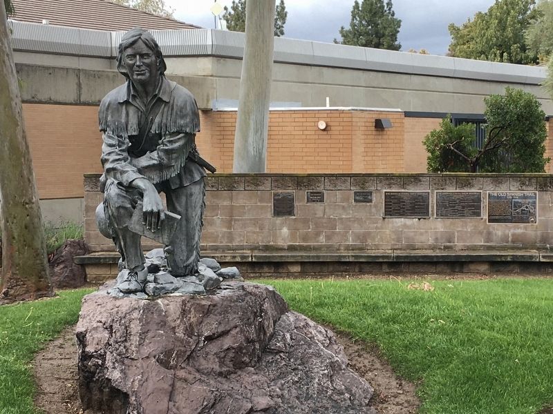
San Dimas in Los Angeles County, California — The American West (Pacific Coastal)
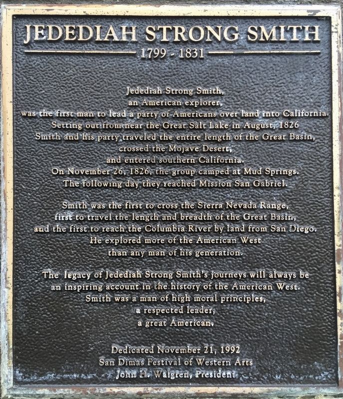
Jedediah Strong Smith
1799 - 1831
Jedediah Strong Smith, an American explorer, was the first man to lead a party of Americans over land into California. Setting out from near the Great Salt Lake in August, 1826, Smith and his party traveled the entire length of the Great Basin, crossed the Mojave Desert, and entered southern California. On November 26, 1826, the group camped at Mud Springs. The following day they reached Mission San Gabriel.
Smith was the first to cross the Sierra Nevada Range, first to travel the length and breadth of the Great Basin, and the first to reach the Columbia River by land from San Diego. He explored more of the American West than any man of his generation.
The legacy of Jedediah Strong Smith's journeys will always be an inspiring account in the history of the American West. Smith was a man of high moral principles, a respected leader, a great American.
Erected 1992 by San Dimas Festival of Western Arts.
Topics. This historical marker is listed in this topic list: Exploration. A significant historical month for this entry is August 1826.
Location. 34° 6.423′ N, 117° 48.188′ W. Marker is in San Dimas, California, in Los Angeles County. Marker is at the intersection of Bonita Avenue and Walnut Avenue, on the left when traveling east on Bonita Avenue. Touch for map. Marker is at or near this postal address: 245 E Bonita Ave, San Dimas CA 91773, United States of America. Touch for directions.
Other nearby markers. At least 8 other markers are within walking distance of this marker. The Old Spanish Trail (a few steps from this marker); The Martin House (within shouting distance of this marker); The R.M. Teague House (about 600 feet away, measured in a direct line); The Teague Nursery Showroom (approx. 0.2 miles away); San Jose Division Headquarters (approx. 0.2 miles away); First Residence in San Dimas (approx. 0.2 miles away); San Dimas Marmalade Factory (approx. ¼ mile away); San Dimas Sheriff’s Station (approx. ¼ mile away). Touch for a list and map of all markers in San Dimas.
More about this marker. The location of the camp, Mud Springs, later became San Dimas.
Credits. This page was last revised on January 30, 2023. It was originally submitted on March 18, 2021, by Craig Baker of Sylmar, California. This page has been viewed 261 times since then and 47 times this year. Photos: 1, 2. submitted on March 18, 2021, by Craig Baker of Sylmar, California. • J. Makali Bruton was the editor who published this page.

