Pottersville in Hunterdon County, New Jersey — The American Northeast (Mid-Atlantic)
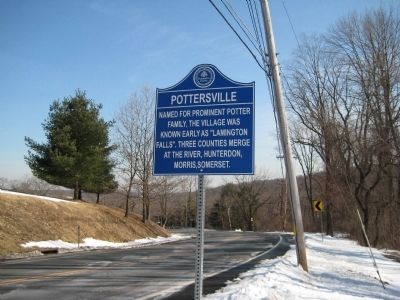
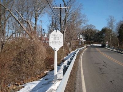
Pottersville
Erected by Hunterdon County Cultural And Heritage Commission.
Topics and series. This historical marker is listed in these topic lists: Political Subdivisions • Settlements & Settlers. In addition, it is included in the New Jersey, Hunterdon County Cultural and Heritage Commission series list.
Location. 40° 43.046′ N, 74° 43.828′ W. Marker is in Pottersville, New Jersey, in Hunterdon County. Marker is on Fairmount Road near Hollow Brook Road, on the right when traveling east. Touch for map. Marker is in this post office area: Califon NJ 07830, United States of America. Touch for directions.
Other nearby markers. At least 8 other markers are within 4 miles of this marker, measured as the crow flies. Gardens at Bamboo Brook (approx. 1.6 miles away); Martha Brookes Hutcheson (approx. 1.6 miles away); Merchiston Farm (approx. 1.6 miles away); 19th Century Lime Kiln (approx. 2.4 miles away); Fairmount Presbyterian Church (approx. 2.7 miles away); Zion Evangelical Lutheran Church (approx. 3.2 miles away); a different marker also named Zion Evangelical Lutheran Church (approx. 3.2 miles away); New Germantown (approx. 3.2 miles away).
Credits. This page was last revised on June 16, 2016. It was originally submitted on March 6, 2009, by Alan Edelson of Union Twsp., New Jersey. This page has been viewed 1,271 times since then and 48 times this year. Last updated on March 10, 2009, by Alan Edelson of Union Twsp., New Jersey. Photos: 1, 2. submitted on March 6, 2009, by Alan Edelson of Union Twsp., New Jersey. • Kevin W. was the editor who published this page.

