Near Mayfield in Graves County, Kentucky — The American South (East South Central)
Spence Chapel United Methodist Church
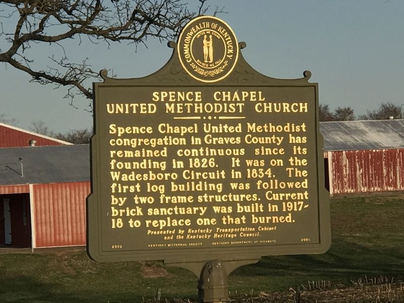
Inscription.
Spence Chapel United Methodist
congregation in Graves County has
remained continuous since its
founding in 1826. It was on the
Wadesboro Circuit in 1834. The
first log building was followed
by two frame structures. Current
brick sanctuary was built in 1917-
18 to replace one that burned.
and the Kentucky Heritage Council.
Erected 2002 by Kentucky Historical Society and Kentucky Department of Highways. (Marker Number 2095.)
Topics and series. This historical marker is listed in this topic list: Churches & Religion. In addition, it is included in the Kentucky Historical Society series list. A significant historical year for this entry is 1826.
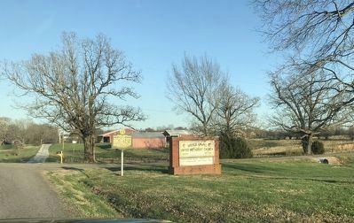
Location. 36° 46.851′ N, 88° 34.67′ W. Marker is near Mayfield, Kentucky, in Graves County. Marker is at the intersection of Hopewell Spence Chapel Road and Spence Chapel Road, on the right when traveling east on Hopewell Spence Chapel Road. Touch for map. Marker is at or near this postal address: 1003 Spence Chapel Road, Mayfield KY 42066, United States of America. Touch for directions.
Other nearby markers. At least 8 other markers are within 5 miles of this marker, measured as the crow flies. Wooldridge Monuments (approx. 3.9 miles away); Two Successful Raids (approx. 4 miles away); Operation Desert Storm (approx. 4.2 miles away); Graves County Confederate Memorial (approx. 4.2 miles away); Colonel Herschel H. Green (approx. 4.2 miles away); County Named, 1823 (approx. 4.2 miles away); Secession Abandoned (approx. 4.2 miles away); Daniel R. Merritt (1833-1907) (approx. 4.2 miles away). Touch for a list and map of all markers in Mayfield.
Credits. This page was last revised on March 23, 2021. It was originally submitted on March 23, 2021, by Duane and Tracy Marsteller of Murfreesboro, Tennessee. This page has been viewed 188 times since then and 26 times this year. Photos: 1, 2. submitted on March 23, 2021, by Duane and Tracy Marsteller of Murfreesboro, Tennessee.

