Near Washington in Franklin County, Missouri — The American Midwest (Upper Plains)
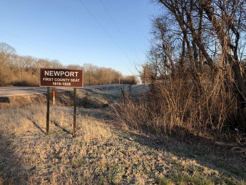
Newport
First County Seat
1819 - 1826
Topics. This historical marker is listed in this topic list: Political Subdivisions. A significant historical year for this entry is 1819.
Location. 38° 35.141′ N, 91° 6.903′ W. Marker is near Washington, Missouri, in Franklin County. Marker is at the intersection of Bluff Road and State Highway 100, on the right when traveling south on Bluff Road. Touch for map. Marker is at or near this postal address: 7716 Bluff Rd, Washington MO 63090, United States of America. Touch for directions.
Other nearby markers. At least 8 other markers are within 5 miles of this marker, measured as the crow flies. Scouting and Hunting on Shore (approx. 2.6 miles away); La Charrette / Marthasville (approx. 4.1 miles away); La Charrette (approx. 4.1 miles away); Lewis and Clark in Missouri (approx. 4.1 miles away); Marthasville to Treloar (approx. 4.1 miles away); History of Marthasville (approx. 4.1 miles away); Marthasville to Dutzow (approx. 4.1 miles away); 25th Anniversary (approx. 4.1 miles away).
Credits. This page was last revised on July 15, 2021. It was originally submitted on March 24, 2021, by Devry Becker Jones of Washington, District of Columbia. This page has been viewed 155 times since then and 23 times this year. Photo 1. submitted on March 24, 2021, by Devry Becker Jones of Washington, District of Columbia.
