N. Jefferson to Tebbetts
Points of Interest
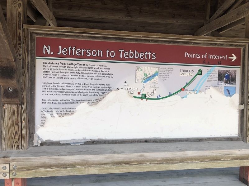
The distance from North Jefferson to Tebbetts is 12 miles. The trail passes through Wainwright (milepost 137.6), which was named after a St. Louis financier who helped establish the Missouri, Kansas & Eastern Railroad, later part of the Katy. Although the trail still parallels the Missouri River, it is closer to another mode of transportation—Mo. Hwy 94. Bluffs are on the left, and a variety of habitats are on the right.
Côte Sans Dessein (milepost 134) or "hill without design (purpose)" runs parallel to the Missouri River. It is about a mile from the trail (on the right) and is a mile long ridge, 200 yards wide at the base and 150 feet high. Côte Hill, as it's known locally, is composed of dolomite. One theory suggests that at one time, Côte San Dessein was on the south side of the Missouri River.
French Canadians settled the Côte Sans Dessein area in 1808, and at that time it was the westernmost settlement in the United States.
[The remainder of the marker is unreadable.]
Erected by Missouri State Parks.
Topics and series. This historical marker is listed in these topic lists: Railroads & Streetcars • Settlements & Settlers. In addition, it is included in the Katy Trail State Park series list. A significant historical year for this entry is 1808.
Location.
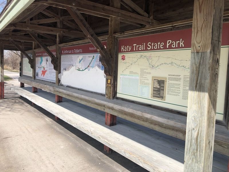
Other nearby markers. At least 8 other markers are within walking distance of this location. Jefferson City & Fulton Points of Interest (here, next to this marker); N. Jefferson to Hartsburg (here, next to this marker); History of Jefferson City Area (here, next to this marker); Missouri State Parks (here, next to this marker); Lewis and Clark in Missouri (here, next to this marker); Katy Trail State Park (within shouting distance of this marker); Bicentennial Monument (within shouting distance of this marker); The Great Flood of 1993 (within shouting distance of this marker). Touch for a list and map of all markers in Jefferson City.
Credits. This page was last revised on March 25, 2021. It was originally submitted on March 25, 2021, by Devry Becker Jones of Washington, District of Columbia. This page has been viewed 119 times since then and 20 times this year. Photos: 1, 2. submitted on March 25, 2021, by Devry Becker Jones of Washington, District of Columbia.

