Columbia in Boone County, Missouri — The American Midwest (Upper Plains)
African-American Heritage
Flat Branch Park
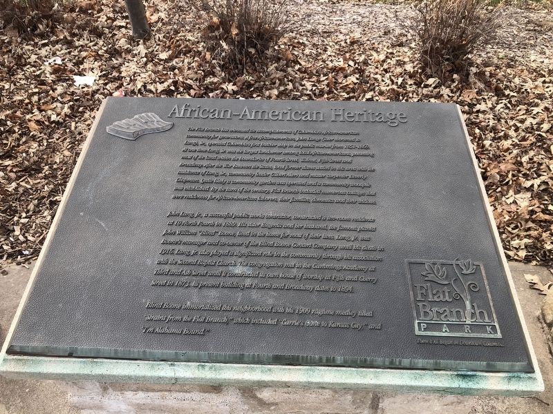
The Flat Branch has witnessed the accomplishments of Columbia's African-American community for generations. A free African-American, John Lange (later shortened to Lang), Sr., operated Columbia's first butcher shop in the public market from 1851-1865. At one time Lang Sr. was the largest landowner among local African-Americans possessing most of the land within the boundaries of Fourth Street, Walnut, Fifth Street and Broadway. After the War Between the States, local former slaves settled in this area with the assistance of Lang Sr., community leader Gilbert Akers and master carpenter Beverly Chapman. Quite likely a community garden was operated and a community woodpile was established. By the turn of the century, Flat Branch included numerous cottages that were residences for African-American laborers, their families, domestics, and their widows.
John Lang, Jr., a successful public works contractor, constructed a ten-room residence at 10 North Fourth in 1889. His sister Eugenia and her husband, the famous pianist John William "Blind" Boone, lived in the home for most of their lives. Lang Jr. was Boone's manager and
this page online
Blind Boone immortalized this neighborhood with his 1909 ragtime medley titled "Strains from the Flat Branch," which included "Carrie's gone to Kansas City," and "I'm Alabama Bound."
Erected by Flat Branch Park.
Topics. This historical marker is listed in these topic lists: African Americans • Arts, Letters, Music • Industry & Commerce • Settlements & Settlers. A significant historical year for this entry is 1889.
Location. 38° 57.033′ N, 92° 19.992′ W. Marker is in Columbia, Missouri, in Boone County. It is at the intersection of South 4th Street and Cherry Street, on the right when traveling south on South 4th Street. Touch for map. Marker is at or near this postal address: 101 S 4th St, Columbia MO 65201, United States of America.

Regionally, this marker is in Little Dixie and in the Missouri River Corridor. It is also in the American Midwest, in the Lewis & Clark Corridor, and in the Corn Belt. Globally, it is in North America, the Western Hemisphere, the Western World, and the Anglosphere. Historically, it finds itself in what was once the territory of the Mississippian Culture, the Louisiana Purchase, and the Antebellum South.
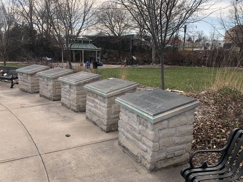
Other nearby markers. At least 8 other markers are within walking distance of this marker: Commerce (here, next to this marker); Early Settlement (here, next to this marker); Transportation (here, next to this marker); African-American Heritage Trailhead (a few steps from this marker); Missouri-Kansas-Texas Railroad Yard (within shouting distance of this marker); Missouri, Kansas & Texas Railroad Depot (about 300 feet away, measured in a direct line); African-American Heritage Trail (about 500 feet away); The John William "Blind" Boone Home and the Second Missionary Baptist Church (about 600 feet away). Touch for a list and map of all markers in Columbia.
Also see . . . African-American Heritage Trail complete, ready to teach. Columbia Missourian website entry (Submitted on April 23, 2022, by Larry Gertner of New York, New York.)
Credits. This page was last revised on August 8, 2023. It was originally submitted on March 26, 2021, by Devry Becker Jones of Washington, District of Columbia. This page has been viewed 454 times since then and 53 times this year. Photos: 1, 2. submitted on March 26, 2021, by Devry Becker Jones of Washington, District of Columbia.
