
Columbia in Boone County, Missouri — The American Midwest (Upper Plains)
African-American Heritage Trail
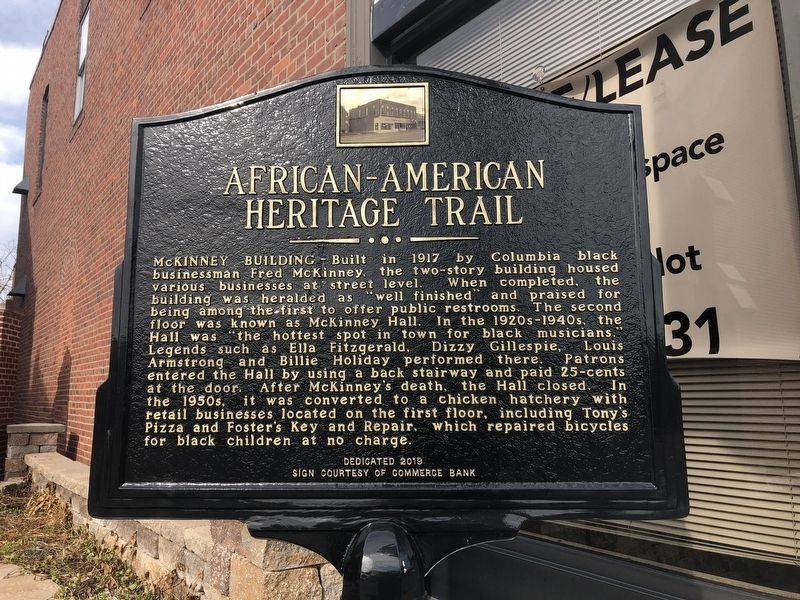
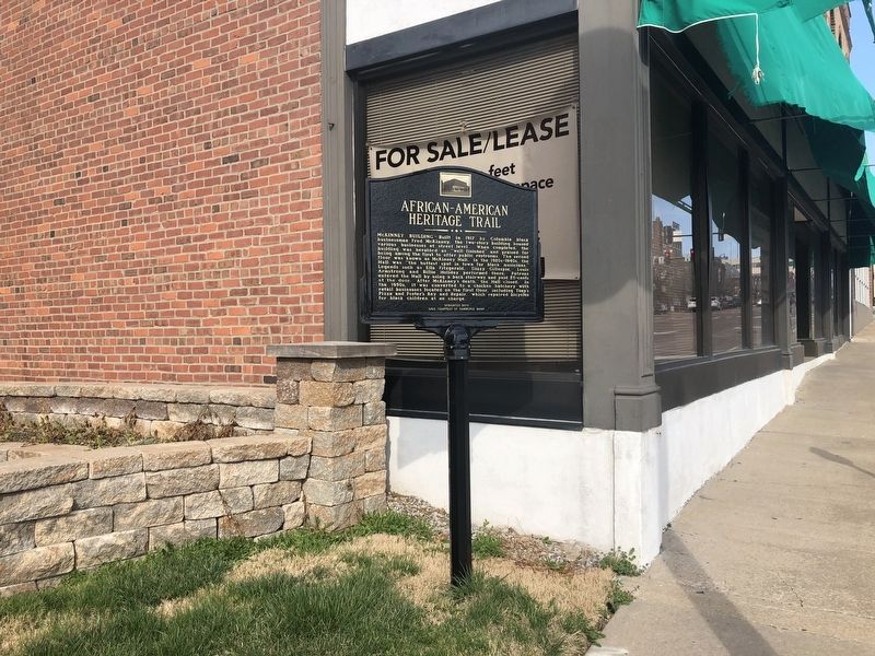
McKinney Building — Built in 1917 by Columbia black businessman Fred McKinney, the two-story building housed various businesses at street level. When completed, the building was heralded as "well finished" and praised for being among the first to offer public restrooms. The second floor was known as McKinney Hall. In the 1920s-1940s, the Hall was the "hottest spot in town for black musicians." Legends such as Ella Fitzgerald, Dizzy Gillespie, Louis Armstrong and Billie Holiday performed there. Patrons entered the Hall by using a back stairway and paid 25-cents at the door. After McKinney's death, the Hall closed. In the 1950s, it was converted to a chicken hatchery with retail businesses located on the first floor, including Tony's Pizza and Foster's Key and Repair, which repaired bicycles for black children at no charge.
Erected 2019 by harp End Heritage Committee, Economic Development Inc., City of Columbia; sign courtesy of Commerce Bank.
Topics and series. This historical marker is listed in these topic lists: African Americans • Arts, Letters, Music • Entertainment • Industry & Commerce.
this page online
Location. 38° 57.106′ N, 92° 19.952′ W. Marker is in Columbia, Missouri, in Boone County. It is on East Broadway just east of North 4th Street, on the left when traveling east. Touch for map. Marker is at or near this postal address: 411 E Broadway, Columbia MO 65201, United States of America. Touch for directions.

Regionally, this marker is in Little Dixie and in the Missouri River Corridor. It is also in the American Midwest, in the Lewis & Clark Corridor, and in the Corn Belt. Globally, it is in North America, the Western Hemisphere, the Western World, and the Anglosphere. Historically, it finds itself in what was once the territory of the Mississippian Culture, the Louisiana Purchase, and the Antebellum South.
Other nearby markers. At least 8 other markers are within walking distance of this marker: Missouri, Kansas & Texas Railroad Depot (within shouting distance of this marker); The John William "Blind" Boone Home and the Second Missionary Baptist Church (within shouting
Also see . . . African-American Heritage Trail complete, ready to teach. Columbia Missourian website entry (Submitted on April 23, 2022, by Larry Gertner of New York, New York.)
Credits. This page was last revised on April 23, 2022. It was originally submitted on March 26, 2021, by Devry Becker Jones of Washington, District of Columbia. This page has been viewed 969 times since then and 65 times this year. Photos: 1, 2. submitted on March 26, 2021, by Devry Becker Jones of Washington, District of Columbia.
