Freeport in Brazoria County, Texas — The American South (West South Central)
Velasco Methodist Church
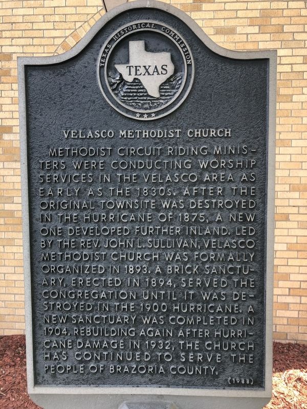
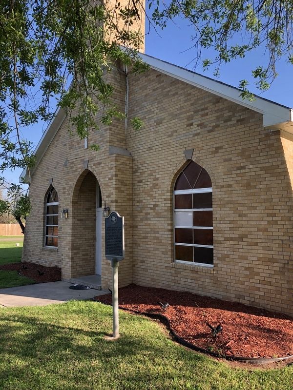
Methodist circuit riding ministers were conducting worship services in the Velasco area as early as the 1830's. After the original townsite was destroyed in the hurricane of 1875 a new one developed further inland. Led by the Rev. John L. Sullivan, Velasco Methodist Church was formally organized in 1893. A brick sanctuary, erected in 1894, served the congregation until it was destroyed in the 1900 hurricane. A new sanctuary was completed in 1904. Rebuilding again after hurricane damage in 1932, the church has continued to serve the people of Brazoria County.
Erected 1988 by Texas Historical Commission. (Marker Number 9610.)
Topics. This historical marker is listed in this topic list: Churches & Religion. A significant historical year for this entry is 1875.
Location. 28° 57.708′ N, 95° 21.928′ W. Marker is in Freeport, Texas, in Brazoria County. Marker is at the intersection of North Avenue A and Karankawa Street, on the right when traveling west on North Avenue A. Touch for map. Marker is at or near this postal address: 320 Avenue A, Freeport TX 77541, United States of America. Touch for directions.
Other nearby markers. At least 8 other markers are within walking distance of this marker. Site of Town of Old Velasco (about 700 feet away, measured in a direct line); Colonel Robert M. Coleman (approx. 0.4 miles away); Freeport Veterans Memorial Park (approx. 0.4 miles away); In Memory of those Who Made the Supreme Sacrifice - World War I - World War II - Korean Conflict (approx. half a mile away); Schuster House (approx. 0.6 miles away); Schuster Home (approx. 0.6 miles away); Four Miles Southeast to the Original Town of Velasco (approx. 0.6 miles away); R. O'Hara Lanier School (approx. ¾ mile away). Touch for a list and map of all markers in Freeport.
Credits. This page was last revised on March 26, 2021. It was originally submitted on March 26, 2021, by Chris Kneupper of Brazoria, Texas. This page has been viewed 112 times since then and 12 times this year. Photos: 1, 2. submitted on March 26, 2021, by Chris Kneupper of Brazoria, Texas. • J. Makali Bruton was the editor who published this page.

