Youngstown in Mahoning County, Ohio — The American Midwest (Great Lakes)
The Founding of Youngstown
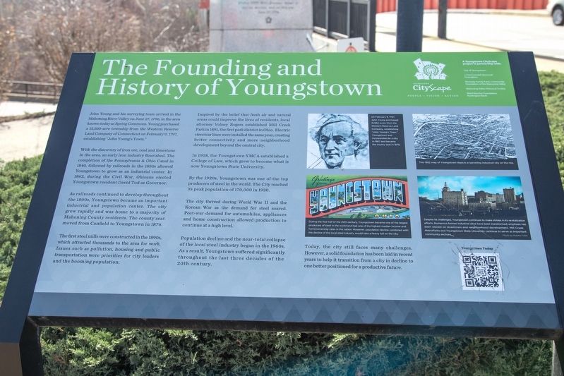
John Young and his surveying team arrived in the Mahoning River Valley on June 27, 1796, in the area known today as Spring Commons. Young purchased a 15,560-acre township from the Western Reserve Land Company of Connecticut on February 9, 1797, establishing "John Young's Town."
With the discovery of iron ore, coal and limestone in the area, an early iron industry flourished. The completion of the Pennsylvania & Ohio Canal in 1840, followed by railroads in the 1850s allowed Youngstown to grow as an industrial center. In 1862, during the Civil War, Ohioans elected Youngstown resident David Tod as Governor.
As railroads continued to develop throughout the 1800s, Youngstown became an important industrial and population center. The city grew rapidly and was home to a majority of Mahoning County residents. The county seat moved from Canfield to Youngstown in 1876.
The first steel mills were constructed in the 1890s, which attracted thousands to the area for work. Issues such as pollution, housing and public transportation were priorities for city leaders and the booming population.
Inspired by the belief that fresh air and natural areas could improve the lives of residents, local attorney Volney Rogers established Mill Creek Park in 1891, the first park district in Ohio. Electric streetcar lines were installed the same year, creating better connectivity and more neighborhood development beyond the central city.
In 1908, the Youngstown YMCA established a College of Law, which grew to become what is now Youngstown State University.
By the 1920s, Youngstown was one of the top producers of steel in the world. The City reached its peak population of 170,000 in 1930.
The city thrived during World War II and the Korean War as the demand for steel soared. Post-war demand for automobiles, appliances and home construction allowed production to continue at a high level.
Population decline and the near-total collapse of the local steel industry began in the 1960s. As a result, Youngstown suffered significantly throughout the last three decades of the 20th century.
Today, the city still faces many challenges. However, a solid foundation has been laid in recent years to help it transition from a city in decline to one better positioned for a productive future.
Erected by Youngstown CityScape in partnership with the City of Youngstown, J. Ford Crandall Memorial Foundation, Kennedy Family Fund, Mahoning Valley Historical Society, and the Ward Beecher Foundation.
Topics. This historical marker is listed in these topic lists: Industry & Commerce
• Political Subdivisions • Settlements & Settlers. A significant historical date for this entry is February 9, 1797.
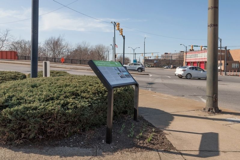
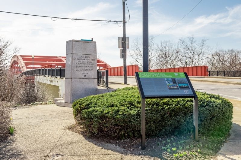
Location. 41° 6.146′ N, 80° 39.314′ W. Marker is in Youngstown, Ohio, in Mahoning County. Marker is on West Federal Street / Martin Luther King Jr. Blvd near 5th Avenue / Mahoning Avenue, on the left. It is in a pocket park at the ramp down to West Front Street. Touch for map. Marker is in this post office area: Youngstown OH 44503, United States of America. Touch for directions.
Other nearby markers. At least 8 other markers are within walking distance of this marker. First Ohio Settlers in the Mahoning River Valley (here, next to this marker); Harry Burt and Good Humor / Ross Radio Company (within shouting distance of this marker); The Warner Theater (about 500 feet away, measured in a direct line); The Mahoning River (about 700 feet away); Working Class Heroes (approx. 0.2 miles away); A Little Bit of Youngstown’s History (approx. ¼ mile away); Little Steel Strike (approx. ¼ mile away); The First Log School (approx. 0.3 miles away). Touch for a list and map of all markers in Youngstown.
More about this marker. This interpretive panel includes four illustrations on the right hand side. They are captioned as follows:
(1) On February 9, 1797, John Young purchased 15,560 acres from the WesternReserve Land Company, establishing "John Young's Town," Youngstown was incorporated as a city in 1867 and became the county seat in 1876.
(2) This 1882 map of Youngstown depicts a sprawling industrial city on the rise.
(3) During the first half of the 20th century, Youngstown became one of the largest producers of steel in the world and had one of the highest median income and homeownership rates in the nation. However, population decline combined with the decline of the local steel industry would take a heavy toll on the city.
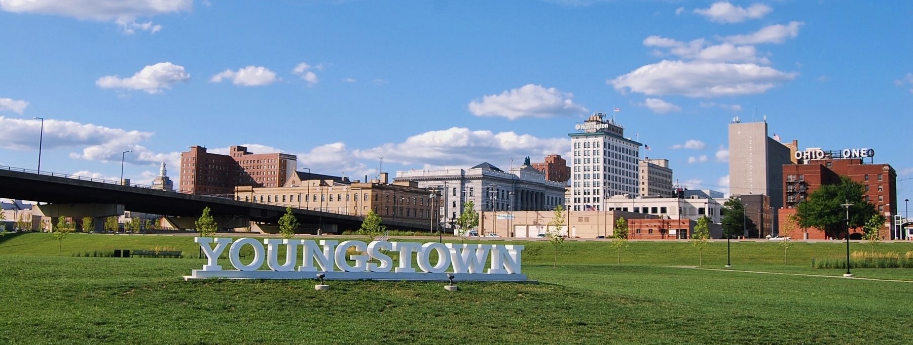
(4) Despite its challenges, Youngstown continues to make strides in its revitalization efforts. Numerous former industrial sites have been transformed; emphasis has been placed on downtown and neighborhood development. Mill Creek MetroParks and Youngstown State University continue to serve as important community anchors. Photo by Robert Fulk.

By Dblcut3 via Wikimedia Commons (CC ), August 6, 2020
4. Youngstown's skyline as seen from Wean Park
Credits. This page was last revised on March 30, 2021. It was originally submitted on March 26, 2021, by J. J. Prats of Powell, Ohio. This page has been viewed 541 times since then and 132 times this year. Photos: 1, 2, 3, 4. submitted on March 26, 2021, by J. J. Prats of Powell, Ohio.


