San Juan Capistrano in Orange County, California — The American West (Pacific Coastal)
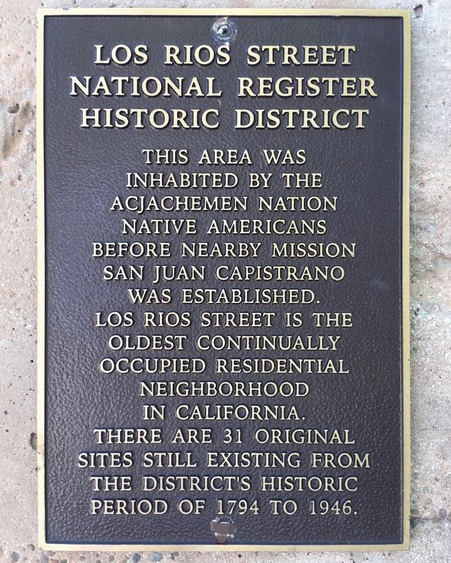
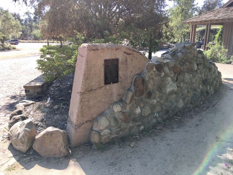
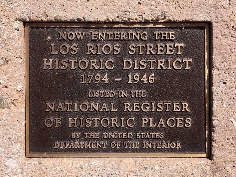
Los Rios Street
National Register Historic District
Topics and series. This historical marker is listed in these topic lists: Architecture • Settlements & Settlers. In addition, it is included in the National Register of Historic Places series list. A significant historical year for this entry is 1794.
Location. 33° 30.079′ N, 117° 39.881′ W. Marker is in San Juan Capistrano, California, in Orange County. Marker can be reached from Los Rios Street north of Verdugo Crossing, on the left when traveling north. Touch for map. Marker is at or near this postal address: 31745 Los Rios St, San Juan Capistrano CA 92675, United States of America. Touch for directions.
Other nearby markers. At least 8 other markers are within walking distance of this marker. Los Rios Street Historic District (a few steps from this marker); Montanez Adobe (within shouting distance of this marker); Rios Adobe (within shouting distance of this marker); Combs House (within shouting distance of this marker); Welcome to Our Petting Zoo (within shouting distance of this marker); Welcome to the Los Rios Historic District (within shouting distance of this marker); "Oliveras Home" (within shouting distance of this marker); The Capistrano Depot (about 300 feet away, measured in a direct line). Touch for a list and map of all markers in San Juan Capistrano.
Credits. This page was last revised on March 27, 2021. It was originally submitted on March 27, 2021, by Craig Baker of Sylmar, California. This page has been viewed 200 times since then and 48 times this year. Photos: 1, 2, 3, 4. submitted on March 27, 2021, by Craig Baker of Sylmar, California. • J. Makali Bruton was the editor who published this page.


