Grand Forks in Grand Forks County, North Dakota — The American Midwest (Upper Plains)
Returning to Devastation
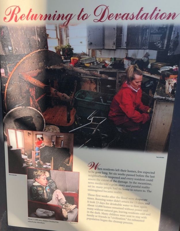
When residents left their homes, few expected to be gone long. Yet six weeks passed before the last neighborhoods reopened and every resident could assess the extent of the damage. In the meantime, news media told a grim story and painful reality set in; many people had no home to return to. The unimagined became reality.
Those first weeks after the flood were desperate times. Running water didn't return for 13 days, and it took 23 days for drinkable water to flow again. About 12,000 homes remained without power and many without natural gas, leaving residents cold and in the dark. Many children were sent to stay with family or friends in "civilization". An exhausted population began the cleanup process.
Erected by City of Grand Forks.
Topics. This historical marker is listed in this topic list: Disasters. A significant historical year for this entry is 1997.
Location. 47° 55.589′ N, 97° 1.971′ W. Marker is in Grand Forks, North Dakota, in Grand Forks County. Marker is at the intersection of North 3rd Street and 2nd Avenue North on North 3rd Street. Touch for map. Marker is at or near this postal address: 144 1/2 North 3rd Street, Grand Forks ND 58203, United States of America. Touch for directions.
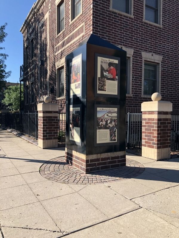
Other nearby markers. At least 8 other markers are within walking distance of this marker. Digging Through the Muck (here, next to this marker); Flames and Flood (here, next to this marker); A Flood of Assistance (here, next to this marker); Rebuilding and Recovery (here, next to this marker); A Story of Triumph (a few steps from this marker); Dinnie Block (a few steps from this marker); New Hampshire Apartments (within shouting distance of this marker); Security Trust Company (about 300 feet away, measured in a direct line). Touch for a list and map of all markers in Grand Forks.
Also see . . . Grand Forks Marks 20th Anniversary of 1997 Flood. (Submitted on March 30, 2021, by Ruth VanSteenwyk of Aberdeen, South Dakota.)
Credits. This page was last revised on March 30, 2021. It was originally submitted on March 30, 2021, by Ruth VanSteenwyk of Aberdeen, South Dakota. This page has been viewed 89 times since then and 2 times this year. Photos: 1, 2. submitted on March 30, 2021, by Ruth VanSteenwyk of Aberdeen, South Dakota. • Bill Pfingsten was the editor who published this page.

