Grand Forks in Grand Forks County, North Dakota — The American Midwest (Upper Plains)
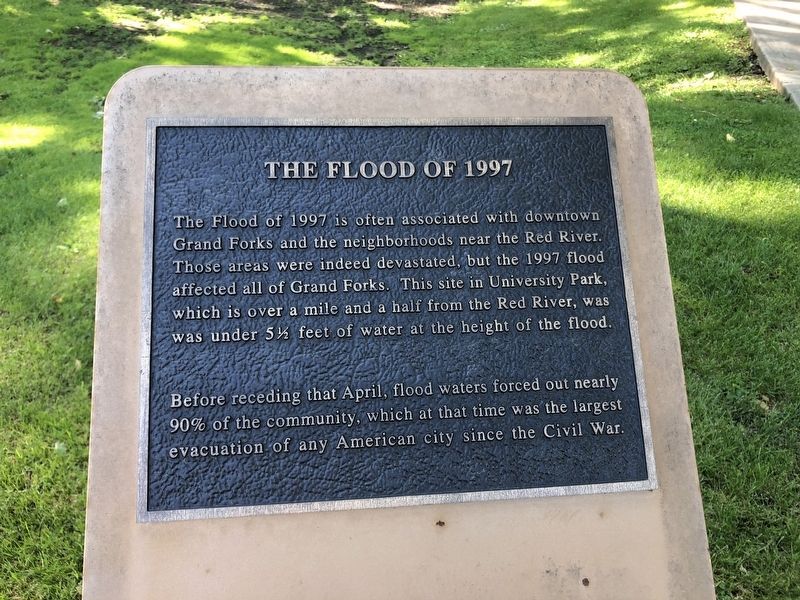
The Flood of 1997
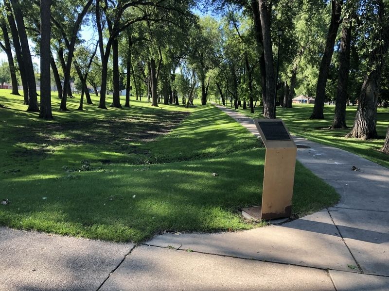
The Flood of 1997 is often associated with downtown Grand Forks and the neighborhoods near the Red River. Those areas were indeed devastated, but the 1997 flood affected all of Grand Forks. This site in University Park, which is over a mile and a half from the Red River, was was under 5 1/2 feet of water at the height of the flood.
Before receding that April, flood waters forced out nearly 90% of the community, which at that time was the largest evacuation of any American city since the Civil War.
Topics. This historical marker is listed in this topic list: Disasters. A significant historical year for this entry is 1997.
Location. 47° 55.537′ N, 97° 3.662′ W. Marker is in Grand Forks, North Dakota, in Grand Forks County. Marker is at the intersection of 6th Avenue North and North 24th Street on 6th Avenue North. Touch for map. Marker is at or near this postal address: 2324 6th Avenue North, Grand Forks ND 58203, United States of America. Touch for directions.
Other nearby markers. At least 8 other markers are within 2 miles of this marker, measured as the crow flies. A Flood of Assistance (approx. 1.3 miles away); Digging Through the Muck (approx. 1.3 miles away); Flames and Flood (approx. 1.3 miles away); Returning to Devastation (approx. 1.3 miles away); Rebuilding and Recovery (approx. 1.3 miles away); A Story of Triumph (approx. 1.3 miles away); Dinnie Block (approx. 1.3 miles away); Finks and Gokey Block (approx. 1.3 miles away). Touch for a list and map of all markers in Grand Forks.
Credits. This page was last revised on April 1, 2021. It was originally submitted on March 30, 2021, by Ruth VanSteenwyk of Aberdeen, South Dakota. This page has been viewed 232 times since then and 11 times this year. Photos: 1, 2. submitted on March 30, 2021, by Ruth VanSteenwyk of Aberdeen, South Dakota. • Bill Pfingsten was the editor who published this page.

