Reading in Hamilton County, Ohio — The American Midwest (Great Lakes)
Voorhees Town / Plan of the Town of Reading
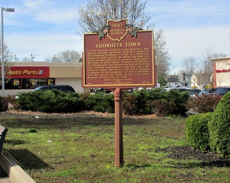
Voorhees Town.
In 1794 Abraham Voorhees, a Revolutionary War veteran, brought his family from New Jersey to the Northwest Territory to settle on 640 acres of land, part of the Miami Purchase, for which he paid John Cleves Symmes "533 dollars 30/90ths" in United States Treasury Certificates. By 1798 the town was platted and lots were being sold. Official registration of the plat was completed in 1804, the town's name being changed to Reading at the suggestion of Henry Redinbo, who had moved his family to the area from Reading, Pennsylvania, in 1795.
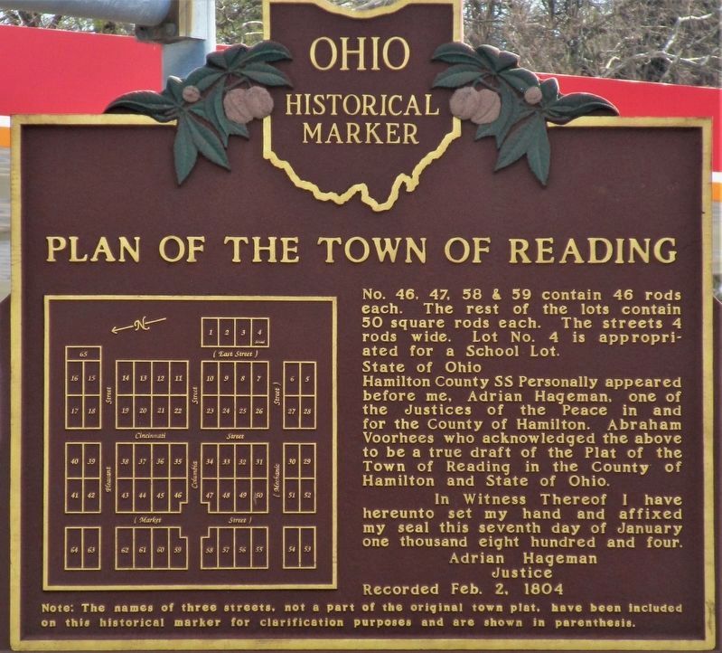
Plan of the Town of Reading
No. 46, 47, 58 & 59 contains 46 rods each. The rest of the lots contain 50 square rods each. The streets 4 rods wide. Lot No. 4 in appropriated for a School Lot.
State of Ohio
Hamilton County SS Personally appeared before me, Adrian Hageman, one of the Justices of the Peace in and for the County of Hamilton and State of Ohio.
In Witness Thereof I have hereunto set my hand and affixed my seal this seventh day of January one thousand eight hundred and four.
Justice
Note: The names of three streets, not a part of the original town plat, have been included on this historical marker for clarification purposes and are shown in parenthesis.
Erected 1994 by Reading Historical Society and The Ohio Historical Society. (Marker Number 10-31.)
Topics and series. This historical marker is listed in this topic list: Settlements & Settlers. In addition, it is included in the Ohio Historical Society / The Ohio History Connection series list. A significant historical date for this entry is February 2, 1804.
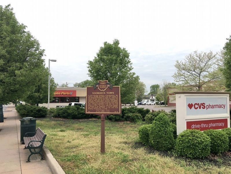
Location. 39° 13.644′ N, 84° 26.304′ W. Marker is in Reading, Ohio, in Hamilton County. Marker is at the intersection of Reading Road (U.S. 42) and West Columbia Avenue, on the left when traveling north on Reading Road. The marker is in the northeast corner of the CVS parking lot. Touch for map. Marker is at or near this postal address: 9202 Reading Rd, Cincinnati OH 45215, United States of America. Touch for directions.
Other nearby markers. At least 8 other markers are within 2 miles of this marker, measured as the crow flies. The Sisters of Notre Dame de Namur (SNDdeN) / SNDdeN Educational Works (approx. half a mile away); Canal Days in Lockland / Miami & Erie Canal (approx. ¾ mile away); Wiley Robert Cable (approx. 0.8 miles away); Lockland WW I Memorial (approx. 0.8 miles away); Evendale (approx. 1.4 miles away); Lockland- Wyoming Train Station (approx. 1.4 miles away); Wyoming Avenue Business District (approx. 1½ miles away); Robert Reily (approx. 1.8 miles away).
Credits. This page was last revised on July 8, 2023. It was originally submitted on March 31, 2021, by Rev. Ronald Irick of West Liberty, Ohio. This page has been viewed 560 times since then and 103 times this year. Last updated on July 7, 2023, by Grant & Mary Ann Fish of Galloway, Ohio. Photos: 1, 2, 3. submitted on March 31, 2021, by Rev. Ronald Irick of West Liberty, Ohio. 4. submitted on April 24, 2021, by Craig Baker of Sylmar, California. 5. submitted on March 31, 2021, by Rev. Ronald Irick of West Liberty, Ohio. • Devry Becker Jones was the editor who published this page.


