Amsterdam in Decatur County, Georgia — The American South (South Atlantic)
The Village, the Pits, and the Dumps
Inscription.
Side 1
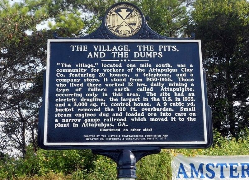
"The village," located one mile south, was a community for workers of the Attapulgus Clay Co. featuring 20 houses, a telephone, and a company store. It stood from 1930-1955. Those who lived there worked 12 hrs. daily mining a type of fuller's earth called Attapulgite, occurring only in this area. The site had an electric dragline, the largest in the U.S. in 1933, and a 3,000 sq. ft. control house. A 9 cubic yd. bucket removed the 100 ft. overburden. Small steam engines dug and loaded ore into cars on a narrow gauge railroad which moved it to the plant in Attapulgus, GA.
Side 2
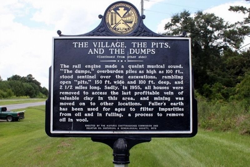
The rail engine made a quaint musical sound. "The dumps," overburden piles as high as 100 ft., stood sentinel over the excavations, rambling open "pits," 150 ft. wide and 100 ft. deep, and 2 1/2 miles long. Sadly, in 1955, all houses were removed to access the last profitable vein of valuable clay in this area, and mining was moved on to other locations. Fuller's earth has been used for ages to filter impurities from oil and in fulling, a process to remove oil in wool.
Erected 2012 by The Historic Chattahoochee Commission and Decatur Co. Historical & Genealogical Society.
Topics. This historical marker is listed in these topic lists: Industry & Commerce • Railroads & Streetcars • Settlements & Settlers. A significant historical year for this entry is 1930.
Location. 30° 43.611′ N, 84° 25.975′ W. Marker is in Amsterdam, Georgia, in Decatur County. Marker is at the intersection of Tallahassee Highway (U.S. 27) and Amsterdam Road, on the right when traveling north on Tallahassee Highway. Touch for map. Marker is in this post office area: Attapulgus GA 39815, United States of America. Touch for directions.
Other nearby markers. At least 8 other markers are within 6 miles of this marker, measured as the crow flies. Gragg Lumber Company (a few steps from this marker); Amsterdam, Georgia / Shade Grown Tobacco (a few steps from this marker); Attapulgus Presbyterian Cemetery (approx. 3.3 miles away); Attapulgus Cemetery Inc. (approx. 3.3 miles away); Attapulgus High School (approx. 3.4 miles away); Attapulgus (approx. 3.4 miles away); Attapulgite / Fullers Earth (approx. 3˝ miles away); Vickers Cemetery (approx. 6 miles away in Florida).
Credits. This page was last revised on December 21, 2022. It was originally submitted on April 7, 2021, by Tim Fillmon of Webster, Florida. This page has been viewed 242 times since then and 39 times this year. Photos: 1, 2. submitted on April 7, 2021, by Tim Fillmon of Webster, Florida.
Editor’s want-list for this marker. A wide view photo of the marker and the surrounding area in context. • Can you help?

