West Asheville in Buncombe County, North Carolina — The American South (South Atlantic)
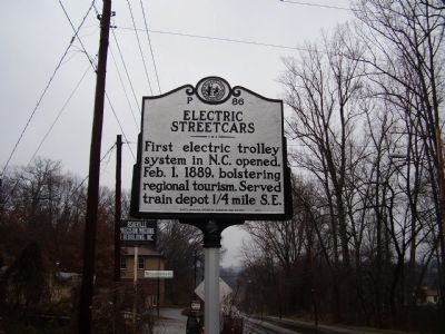
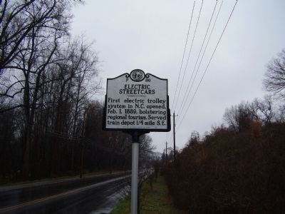
Electric Streetcars
Erected 2007 by North Carolina Office of Archives and History. (Marker Number P-86.)
Topics and series. This historical marker is listed in this topic list: Railroads & Streetcars. In addition, it is included in the North Carolina Division of Archives and History series list. A significant historical date for this entry is February 1, 1889.
Location. 35° 34.981′ N, 82° 34.277′ W. Marker is in West Asheville, North Carolina, in Buncombe County. Marker is at the intersection of Haywood Rd (State Highway 191) and Euclid Boulevard, on the right when traveling south on Haywood Rd. Touch for map. Marker is in this post office area: Asheville NC 28806, United States of America. Touch for directions.
Other nearby markers. At least 8 other markers are within 2 miles of this marker, measured as the crow flies. Lynching in America / The Lynching of Hezekiah Rankin (approx. 0.4 miles away); Wartime Jail (approx. 1.1 miles away); Cat Walk (approx. 1.2 miles away); St. Genevieve ~ Of ~ The ~ Pines (approx. 1.2 miles away); Smith-McDowell House (approx. 1.2 miles away); Shifting Landscapes (approx. 1.2 miles away); Battery Porter (approx. 1.2 miles away); Asheville Normal School (approx. 1.2 miles away).
Credits. This page was last revised on June 16, 2016. It was originally submitted on March 15, 2009, by Stanley and Terrie Howard of Greer, South Carolina. This page has been viewed 1,105 times since then and 19 times this year. Photos: 1, 2. submitted on March 15, 2009, by Stanley and Terrie Howard of Greer, South Carolina. • Kevin W. was the editor who published this page.

