Reidsville in Tattnall County, Georgia — The American South (South Atlantic)
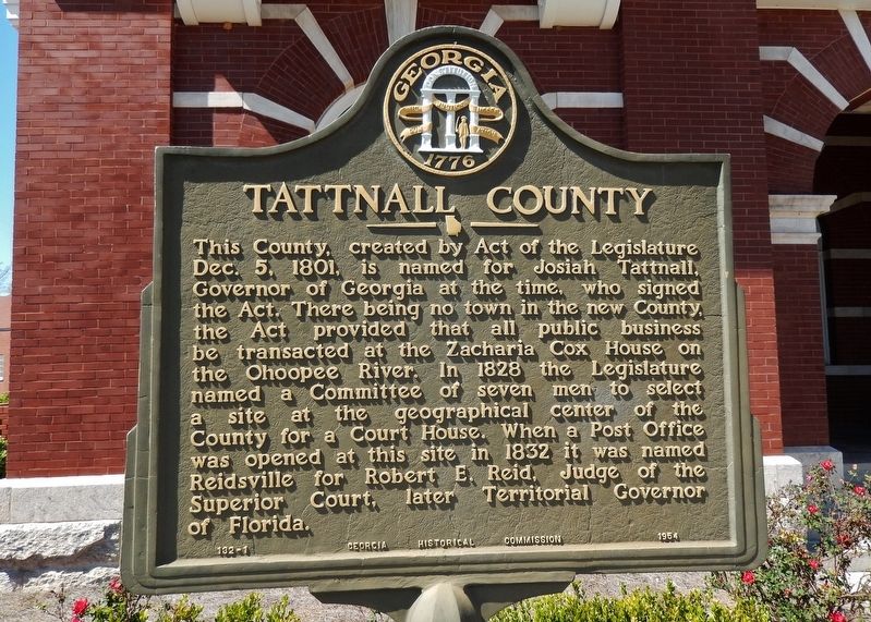
Tattnall County
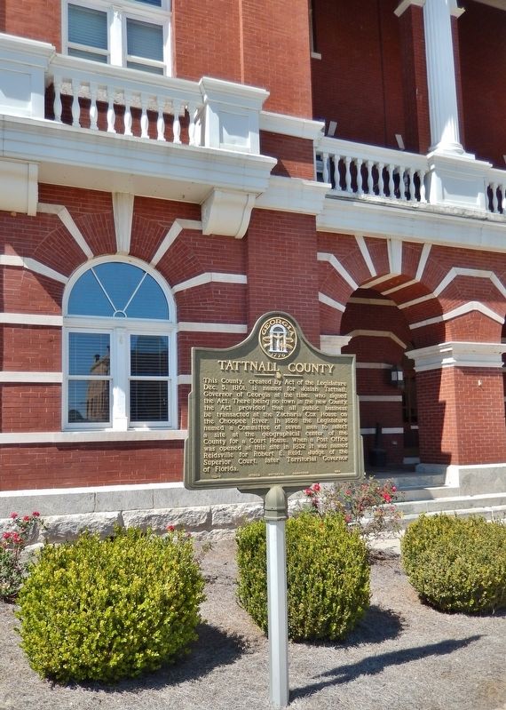
This County, created by Act of the Legislature Dec. 5, 1801, is named for Josiah Tattnall, Governor of Georgia at the time, who signed the Act. There being no town in the new County, the Act provided that all public business be transacted at the Zacharia Cox House on the Ohoopee River. In 1828 the Legislature named a Committee of seven men to select a site at the geographical center of the County for a Court House. When a Post Office was opened at this site in 1832 it was named Reidsville for Robert E. Reid, Judge of the Superior Court, later Territorial Governor of Florida.
Erected 1954 by Georgia Historical Commission. (Marker Number 132-1.)
Topics and series. This historical marker is listed in these topic lists: Political Subdivisions • Settlements & Settlers. In addition, it is included in the Georgia Historical Society series list. A significant historical date for this entry is December 5, 1801.
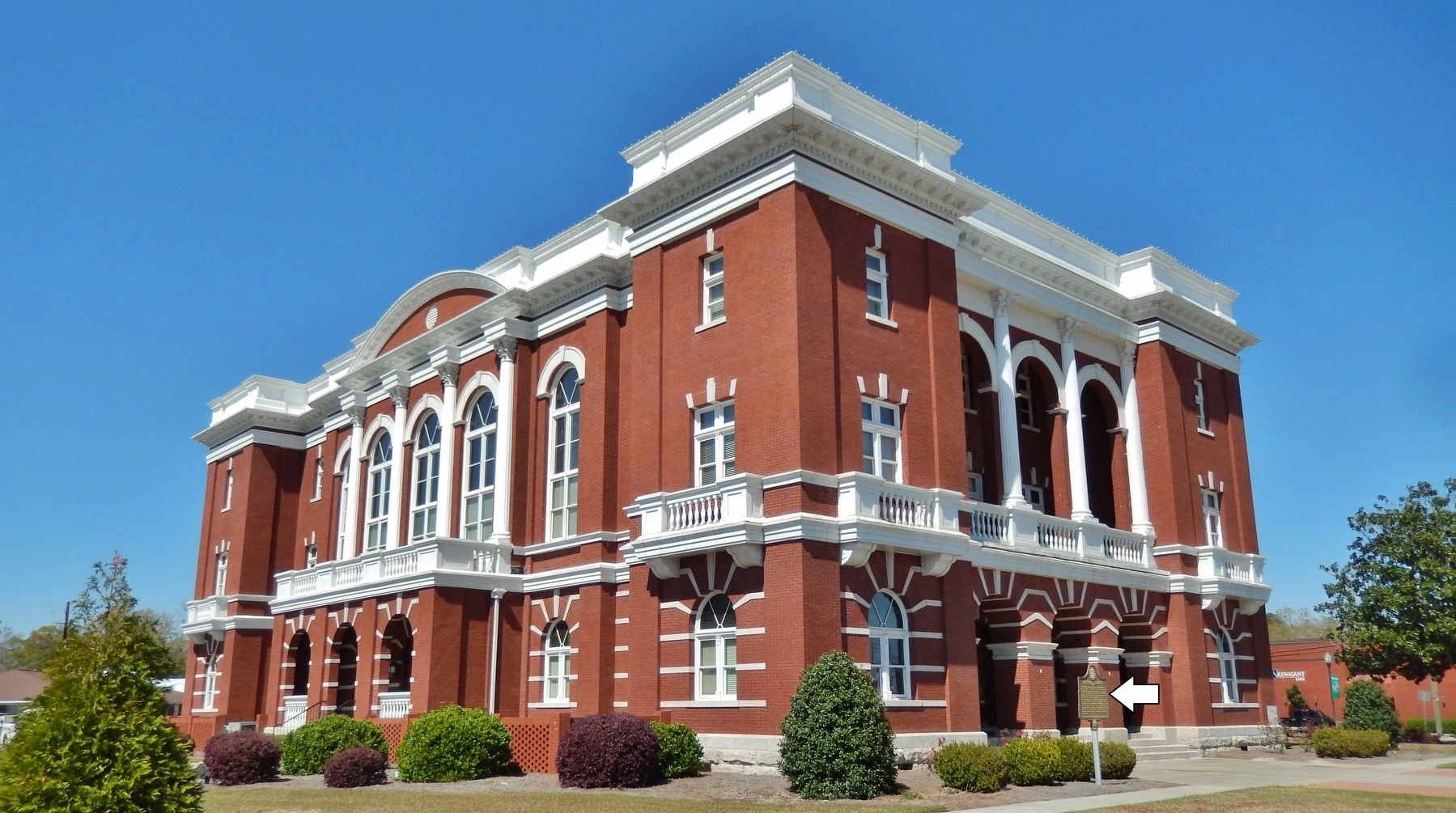
Location. 32° 5.195′ N, 82° 7.123′ W. Marker is in Reidsville, Georgia, in Tattnall County. Marker can be reached from the intersection of West Brazell Street (U.S. 280) and Church Street, on the right when traveling west. Marker is located near the southeast corner of the Tattnall County Courthouse. Touch for map. Marker is in this post office area: Reidsville GA 30453, United States of America. Touch for directions.
Other nearby markers. At least 8 other markers are within 13 miles of this marker, measured as the crow flies. The Alexander Hotel (about 300 feet away, measured in a direct line); Old Shiloh Cemetery (approx. 4.3 miles away); Tattnall Campground (approx. 7 miles away); Bellville (approx. 9.6 miles away); Cedar Creek Primitive Baptist Church (approx. 10.7 miles away); The DeLoach House (approx. 11.8 miles away); Old Campground Cemetery (approx. 12.2 miles away); Love's Chapel Primative Baptist Church (approx. 12.2 miles away).
Also see . . . Tattnall County, Georgia. Wikipedia entry:
The county seat is Reidsville. Tattnall County was created from part of Montgomery County, Georgia by the Georgia General Assembly. The county was named after Josiah Tattnall, a planter, soldier and politician. It is located within the Magnolia Midlands, a part of the Historic South region. (Submitted on April 11, 2021, by Cosmos Mariner of Cape Canaveral, Florida.)
Credits. This page was last revised on September 24, 2022. It was originally submitted on April 11, 2021, by Cosmos Mariner of Cape Canaveral, Florida. This page has been viewed 206 times since then and 15 times this year. Photos: 1, 2, 3. submitted on April 11, 2021, by Cosmos Mariner of Cape Canaveral, Florida.


