Near Black Rock in Randolph County, Arkansas — The American South (West South Central)
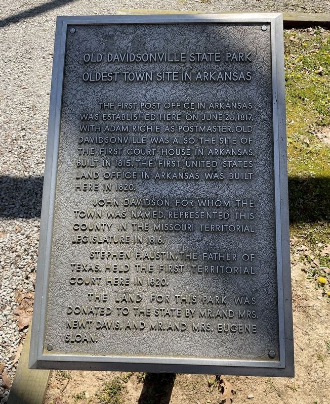
Oldest Town Site in Arkansas
Old Davidsonville State Park
Topics. This historical marker is listed in this topic list: Settlements & Settlers. A significant historical date for this entry is June 28, 1817.
Location. 36° 9.269′ N, 91° 3.375′ W. Marker is near Black Rock, Arkansas, in Randolph County. Marker can be reached from Arkansas Route 166, 0.6 miles south of Arkansas Route 361. Located 11 miles south of Pocahontas within the Davidsonville Historic State Park. Touch for map. Marker is at or near this postal address: 8047 Hwy 166 S, Pocahontas AR 72455, United States of America. Touch for directions.
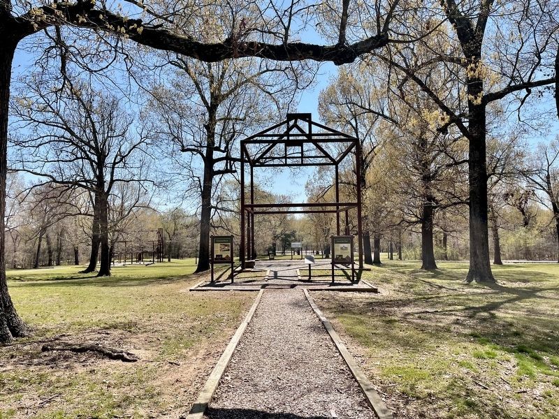
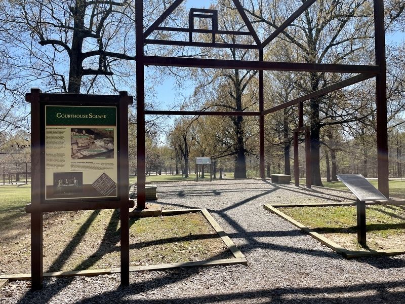
Other nearby markers. At least 8 other markers are within walking distance of this marker. County Seat Town (here, next to this marker); Courthouse Square (here, next to this marker); Davidsonville's Courthouse (a few steps from this marker); Archeology Uncovers the Past (within shouting distance of this marker); Decline and Abandonment (within shouting distance of this marker); Public House (within shouting distance of this marker); County Jail (within shouting distance of this marker); Commerce and Business (within shouting distance of this marker). Touch for a list and map of all markers in Black Rock.
More about this marker. Marker is located within the Public Square on the Historic Townsite Trail.
Also see . . . Encyclopedia of Arkansas article about Davidsonville Historic State Park. (Submitted on April 12, 2021, by Mark Hilton of Montgomery, Alabama.)
Credits. This page was last revised on April 12, 2021. It was originally submitted on April 12, 2021, by Mark Hilton of Montgomery, Alabama. This page has been viewed 218 times since then and 33 times this year. Photos: 1, 2, 3, 4. submitted on April 12, 2021, by Mark Hilton of Montgomery, Alabama.


