County Seat Town
— Davidsonville Historic State Park —
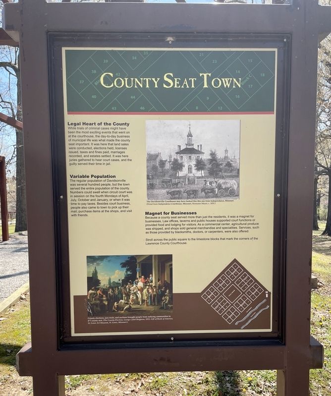
Legal Heart of the County
While trials of criminal cases might have been the most exciting events that went on at the courthouse, the day-to-day business of municipal life was what made the county seat important. It was here that land sales were conducted, elections held, licenses issued, taxes and fines paid, marriages recorded, and estates settled. It was here juries gathered to hear court cases, and the guilty served their time in jail.
Variable Population
The regular population of Davidsonville
was several hundred people, but the town
served the entire population of the county.
Numbers could swell when circuit court was
in session on the fourth Mondays of April,
July, October and January, or when it was
time to pay taxes. Besides court business,
people also came to town to pick up their
mail, purchase.items at the shops, and visit
with friends.
Magnet for Businesses
Because a county seat served more than just the residents, it was a magnet for businesses. Law offices, taverns and public houses supported court functions or provided food and lodging for visitors. As a commercial center, agricultural produce was shipped, and shops sold general merchandise and specialities. Services, such as those provided by blacksmiths, doctors, or carpenters, were also offered.
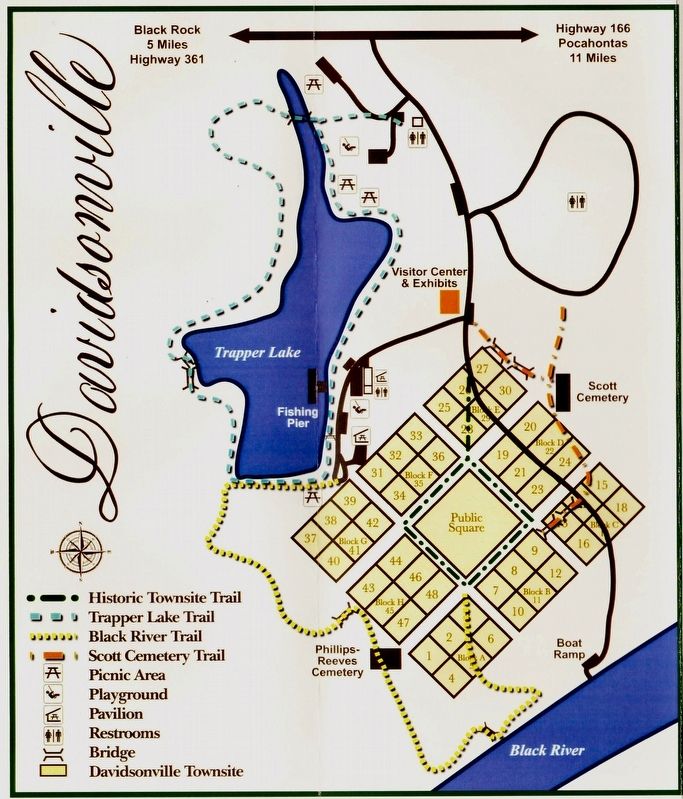
Stroll across the public square to the limestone blocks that mark the corners of the Lawrence County Courthouse.
Photo captions:
Top: The Davidsonville Courthouse may have looked like this one from Independance, Missouri. (Detail from Independence Courthouse, Missouri, Hermann Meyer, c. 1850.)
Bottom left: County elections, jury trials, and auctions brought people from outlying communities to the county seal. (The County Election, George Caleb Bingham, 1852, Gift of Bank of America, St. Louis Art Museum, St. Louis, Missouri.)
Erected by the State of Arkansas.
Topics. This historical marker is listed in this topic list: Settlements & Settlers. A significant historical year for this entry is 1850.
Location. 36° 9.269′ N, 91° 3.376′ W. Marker is near Black Rock, Arkansas, in Randolph County. Marker can be reached from Arkansas Route 166, 0.6 miles south of Arkansas Route 361. Located 11 miles south of Pocahontas within the Davidsonville Historic State Park. Touch for map. Marker is at or near this postal address: 8047 Hwy 166 S, Black Rock AR 72415, United States of America. Touch for directions.
Other nearby markers. At least 8 other markers are within walking distance of this marker. Oldest Town Site in Arkansas (here, next to this marker); Courthouse Square (here, next to this marker); Davidsonville's Courthouse (a few steps from this marker); Archeology Uncovers the Past
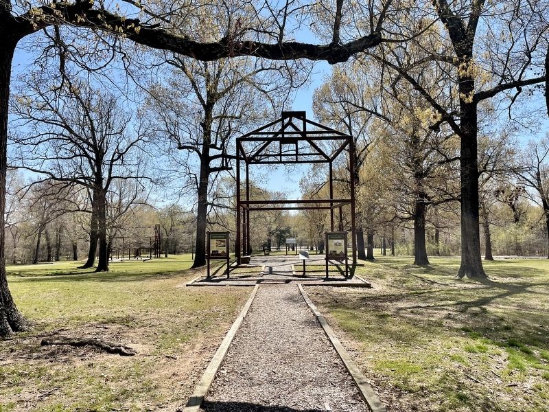
More about this marker. Marker is located within the Public Square on the Historic Townsite Trail.
Also see . . . Encyclopedia of Arkansas article about Davidsonville Historic State Park. (Submitted on April 13, 2021, by Mark Hilton of Montgomery, Alabama.)
Credits. This page was last revised on April 13, 2021. It was originally submitted on April 13, 2021, by Mark Hilton of Montgomery, Alabama. This page has been viewed 117 times since then and 9 times this year. Photos: 1, 2, 3. submitted on April 13, 2021, by Mark Hilton of Montgomery, Alabama.


