Decline and Abandonment
— Davidsonville Historic State Park —
Myths
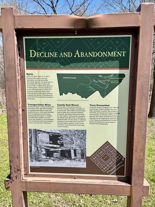
Within the short span of 15 years, Davidsonville rose in size and importance, and just as quickly returned to oblivion. The quick demise of Davidsonville led to local myths about its fall—a yellow fever epidemic, a mass exodus, or a town destroyed by fire. Although colorful, there is no evidence supporting these myths. Historical and archeological evidence suggests the demise of Davidsonville came from environmental and political influences.
Transportation Woes
Despite the logic in siting Davidsonville
near three rivers, springtime flooding
disrupted transportation routes and
isolated the town. Eventually the Black
River crossing was moved where
flooding was less severe. In addition,
Davidsonville's location on a spur,
rather than directly on, the Southwest
Trail contributed to the town's decline
as this route gained in importance.
County Seat Moved
With access in the spring limited by
flooding, the town became unsuitable for
a county seat. New settlers moved further
west to better land, and town residents
eventually abandoned flood-prone lands
for drier options. Following the population,
the federal land office was moved west to
Batesville after only two years. In 1829 the
Lawrence County seat was moved from
Davidsonville to Jackson, a town
Town Dismantled
As people moved, buildings and materials
were reused. Small buildings may have
been physically moved to new locations,
and bricks and stones from larger buildings
were recycled. Eventually nothing much
was left, and nature covered the remains.
Although not as intriguing as yellow fever
or fire, these environmental and political
factors are believed to be the reasons
Davidsonville disappeared.
[Captions]
Detail map of Lawrence County denoting county seats and the rivers.
Log cabin in ruins.
Erected by the State of Arkansas.
Topics. This historical marker is listed in this topic list: Settlements & Settlers. A significant historical year for this entry is 1829.
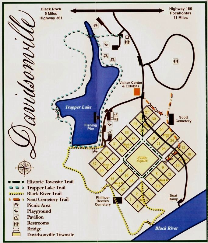
Location. 36° 9.269′ N, 91° 3.333′ W. Marker is near Black Rock, Arkansas, in Randolph County. Marker is on Arkansas Route 166, 0.6 miles south of Arkansas Route 361 when traveling south. Located 11 miles south of Pocahontas within the Davidsonville Historic State Park. Touch for map. Marker is at or near this postal address: 8047 Hwy 166 S, Pocahontas AR 72455, United States of America. Touch for directions.
Other nearby markers. At least 8 other markers are within walking distance of this marker. First Postal Stop (within shouting distance of this marker); Archeology Uncovers the Past (within shouting distance of this marker); Private Residence / Post Office
Credits. This page was last revised on April 13, 2021. It was originally submitted on April 13, 2021, by Mark Hilton of Montgomery, Alabama. This page has been viewed 96 times since then and 5 times this year. Photos: 1, 2, 3. submitted on April 13, 2021, by Mark Hilton of Montgomery, Alabama.


