Near Rydal in Bartow County, Georgia — The American South (South Atlantic)
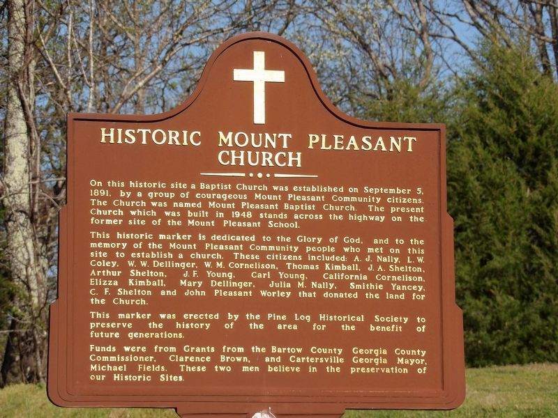
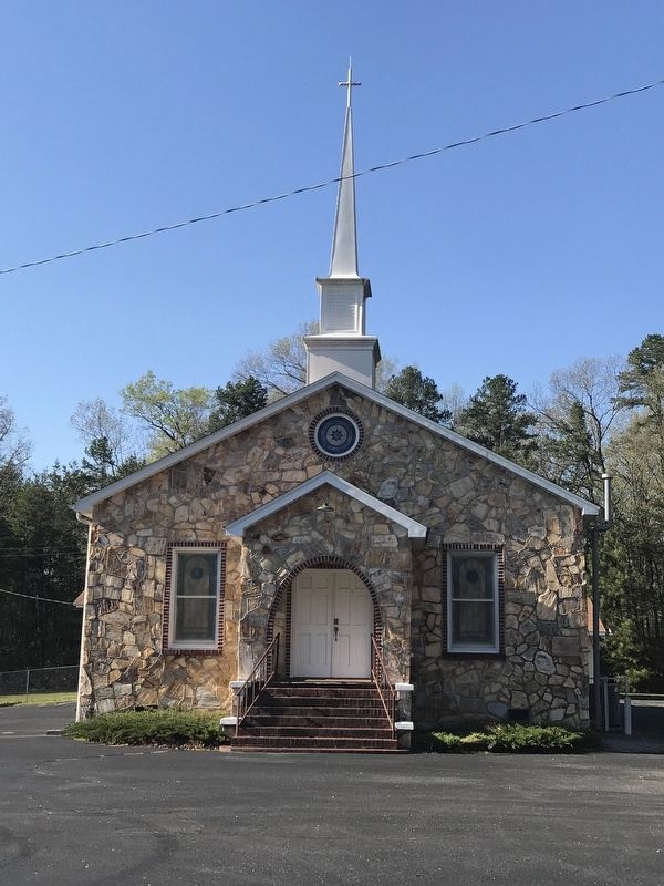
Historic Mount Pleasant Church
This historic marker is dedicated to the Glory of God, and to the memory of the Mount Pleasant Community people who met on this site to establish a church. These citizens included: A. J. Nally, L. W. Coley, W. W. Dellinger, W. M. Cornelison, Thomas Kimball, J. A. Shelton, Arthur Shelton, J. F. Young, Carl Young, California Cornelison, Elizza Kimball, Mary Dellinger, Julia M. Nally, Smithie Yancey, C. F. Shelton and John Pleasant Worley that donated the land for the Church.
This marker was erected by the Pine Log Historical Society to preserve the history of the area for the benefit of future generations.
Funds were from Grants from the Bartow County Georgia County Commissioner, Clarence Brown, and Cartersville Georgia Mayor, Michael Fields. These two men believe in the preservation of our Historic Sites.
Erected by Pine Log Historical Society.
Topics. This historical marker is listed in this topic list: Churches & Religion. A significant historical date for this entry is September 5, 1891.
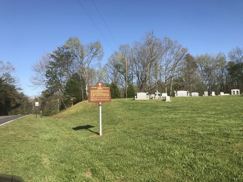
Location. 34° 22.958′ N, 84° 45.361′ W. Marker is near Rydal, Georgia, in Bartow County. Marker is on Mt. Pleasant Road east of Nally Road, on the right when traveling east. Touch for map. Marker is at or near this postal address: 550 Mt Pleasant Road, Rydal GA 30171, United States of America. Touch for directions.
Other nearby markers. At least 8 other markers are within 10 miles of this marker, measured as the crow flies. Corra Harris (approx. ¾ mile away); Pine Log Church Historic District (approx. 2.9 miles away); Old Sonora P.O. Now Sonoraville (approx. 5½ miles away); Old Pine Log Indian Town (approx. 5.7 miles away); Big Spring (approx. 8.4 miles away); Historic Trimble House (approx. 9.2 miles away); Cherokee Nation (approx. 9.4 miles away); Mosteller's Mills (approx. 9.8 miles away). Touch for a list and map of all markers in Rydal.
Also see . . . Mount Pleasant Baptist Church. By Amy Young, Kennesaw State University Intern, for the Etowah Valley Historical Society. Posted 2018. (Submitted on April 17, 2021, by Duane and Tracy Marsteller of Murfreesboro, Tennessee.)
Credits. This page was last revised on April 17, 2021. It was originally submitted on April 17, 2021, by Duane and Tracy Marsteller of Murfreesboro, Tennessee. This page has been viewed 342 times since then and 75 times this year. Photos: 1, 2, 3. submitted on April 17, 2021, by Duane and Tracy Marsteller of Murfreesboro, Tennessee.


