
University in Cottonwood Heights in Salt Lake County, Utah — The American Mountains (Southwest)
Early Monuments
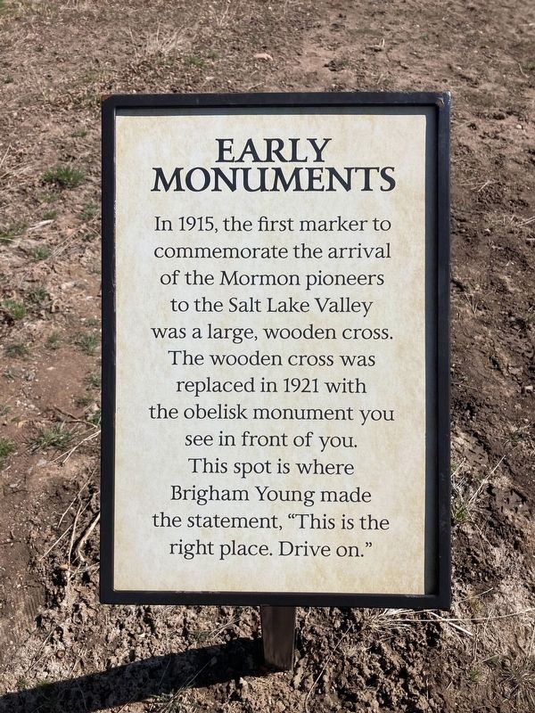
Photographed by Connor Olson, April 17, 2021
1. Early Monuments Marker
Erected by This Is The Place Foundation.
Topics. This historical marker is listed in these topic lists: Religion & Religious Structures • Settlements & Settlers. A significant historical year for this entry is 1915.
Location. 40° 45.224′ N, 111° 48.821′ W. Marker is in Cottonwood Heights, Utah, in Salt Lake County. It is in University. It can be reached from East Sunnyside Avenue South. Touch for map. Marker is at or near this postal address: 2601 East Sunnyside Avenue South, Salt Lake City UT 84108, United States of America. Touch for directions.

Regionally, this marker is in the Wasatch Front and in Greater Salt Lake. It is also in the American Mountain West and on the Colorado Plateau. Globally, it is in North America, the Rocky Mountains, the Western Hemisphere, the Western World,
this page online
Other nearby markers. At least 8 other markers are within walking distance of this marker: William Atkin Home (within shouting distance of this marker); This Is The Place Monuments (within shouting distance of this marker); Handcarts (about 400 feet away, measured in a direct line); Mary Fielding Smith Home (about 400 feet away); Deseret Hospital and Quilt Museum (about 400 feet away); Manti Fort Gristmill (about 400 feet away); Pioneer Children’s Memorial (about 400 feet away); Thomas Phillip White Cabin (about 500 feet away).
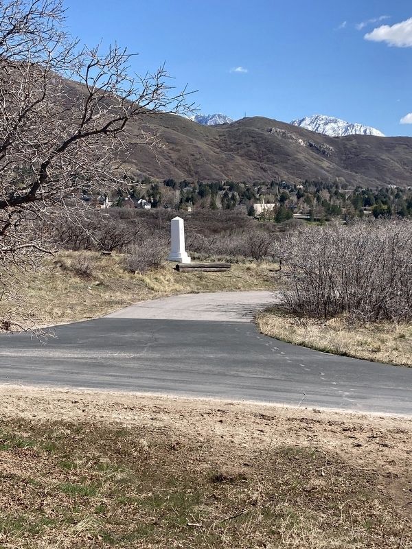
Photographed by Connor Olson, April 17, 2021
2. Early Monuments Marker
Credits. This page was last revised on February 16, 2023. It was originally submitted on April 17, 2021, by Connor Olson of Menomonee Falls, Wisconsin. This page has been viewed 699 times since then and 29 times this year. Photos: 1, 2. submitted on April 17, 2021, by Connor Olson of Menomonee Falls, Wisconsin. • Syd Whittle was the editor who published this page.
