Near Quarryville in Lancaster County, Pennsylvania — The American Northeast (Mid-Atlantic)
Jackson's Mill Bridge (1878)
West Octoraro #1
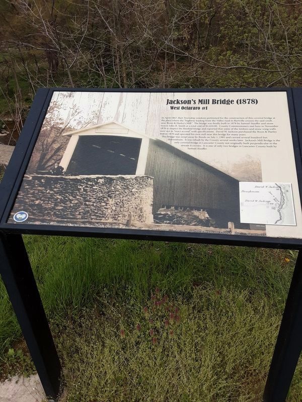
In April 1867, Bart Township residents petitioned for the construction of this covered bridge at the place where the "highway leading from the Valley road to Bartville crosses the said creek… near Boon & Harley's Mill.” The bridge was finally built in 1878 by Samuel Stauffer and stone mason John R. Smith at a total cost of $2,410.00. County Commissioners met here in November 1878 to inspect the finished bridge and reported that some of the timbers and stone wing walls were not in "exact accord” with specifications. David W. Jackson purchased the Boon & Harley Mill in 1870 and operated his own mill near this bridge for many years.
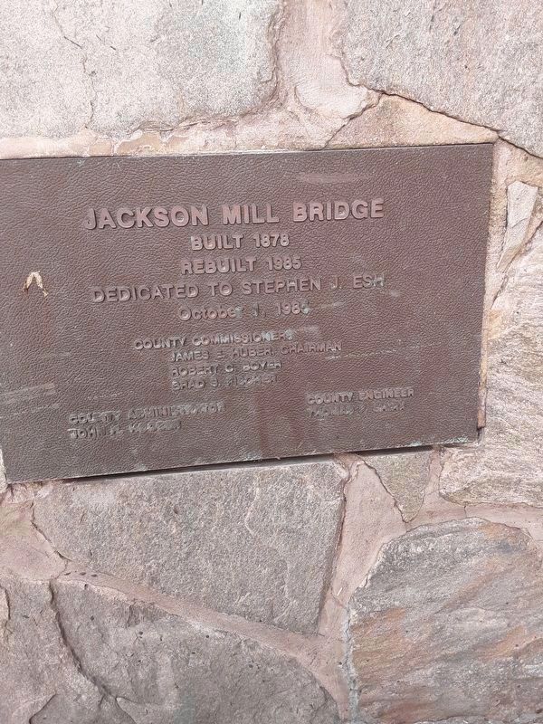
This bridge was swept away by floods on July 1, 1985 and carried several hundred feet downstream. It was rebuilt by the County several weeks later. Jackson's Mill Bridge is the only covered bridge in Lancaster County not originally built perpendicular to the stream it crosses. It is one of only two bridges in Lancaster County built by Samuel Stauffer.
Erected by Lancaster County.
Topics and series. This historical marker is listed in this topic list: Bridges & Viaducts. In addition, it is included in the Covered Bridges series list. A significant historical month for this entry is April 1867.
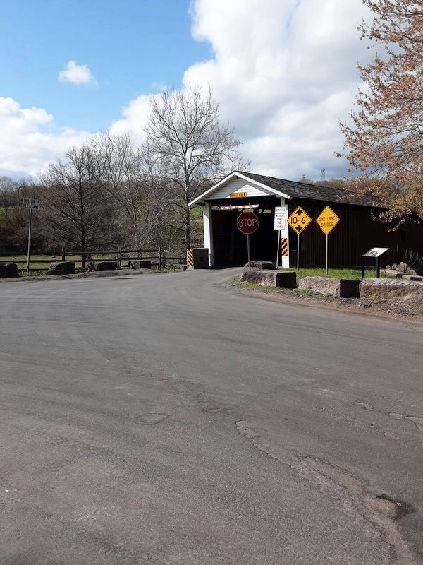
Location. 39° 53.794′ N, 76° 4.807′ W. Marker is near Quarryville, Pennsylvania, in Lancaster County. Marker is at the intersection of Mount Pleasant Road and Hollow Road, on the right when traveling north on Mount Pleasant Road. Touch for map. Marker is in this post office area: Quarryville PA 17566, United States of America. Touch for directions.
Other nearby markers. At least 8 other markers are within 5 miles of this marker, measured as the crow flies. Bartshire (approx. one mile away); A Job on the A & S (approx. 1.6 miles away); The Atglen & Susquehanna Low Grade (approx. 1.6 miles away); A Stream for Steam (approx. 1.9 miles away); William C. Sproul (approx. 4.4 miles away); The Christiana Riot (approx. 4½ miles away); Quarryville (approx. 5 miles away); White Rock Forge Bridge (1884) (approx. 5 miles away). Touch for a list and map of all markers in Quarryville.
More about this marker. This can be reached by following Hollow Road south from the old Atglen & Susquehanna rail line in Bart Township.
Credits. This page was last revised on December 21, 2021. It was originally submitted on April 22, 2021, by Carl Gordon Moore Jr. of North East, Maryland. This page has been viewed 263 times since then and 21 times this year. Photos: 1. submitted on April 22, 2021, by Carl Gordon Moore Jr. of North East, Maryland. 2, 3, 4. submitted on April 23, 2021, by Carl Gordon Moore Jr. of North East, Maryland. • Bill Pfingsten was the editor who published this page.


