Near Paris in Bourbon County, Kentucky — The American South (East South Central)
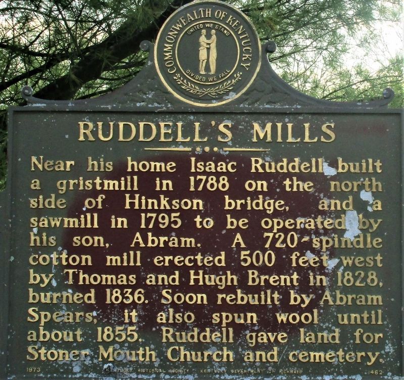
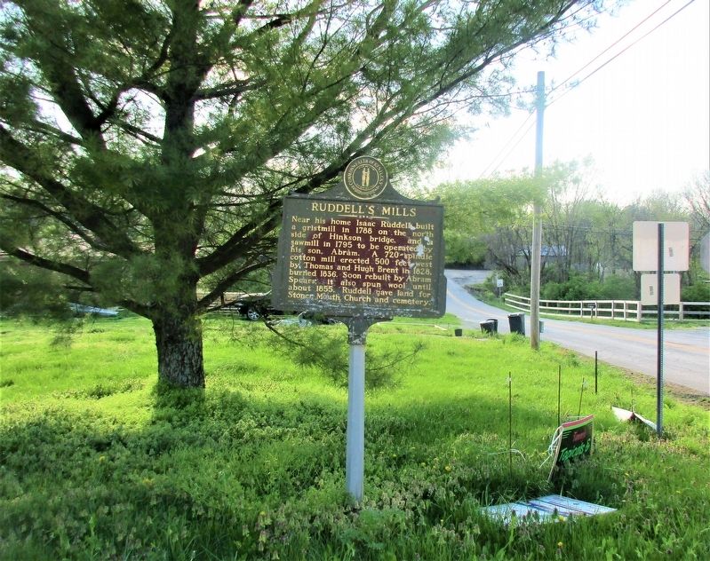
Ruddells Mills
Erected 1973 by Kentucky Historical Society Kentucky Department of Highways. (Marker Number 1462.)
Topics and series. This historical marker is listed in these topic lists: Industry & Commerce • Settlements & Settlers. In addition, it is included in the Kentucky Historical Society series list. A significant historical year for this entry is 1788.
Location. 38° 18.243′ N, 84° 14.294′ W. Marker is near Paris, Kentucky, in Bourbon County. Marker is at the intersection of Ruddells Mill Road (Kentucky Route 1940) and Old Ruddles Mill Road (Kentucky Route 1893), on the right when traveling south on Ruddells Mill Road. Touch for map. Marker is at or near this postal address: 2810 Rd Ruddells Mills Road, Paris KY 40361, United States of America. Touch for directions.
Other nearby markers. At least 8 other markers are within 6 miles of this marker, measured as the crow flies. Colville Covered Bridge / Covered Bridges (approx. 2.4 miles away); Bourbon Whiskey / Jacob Spears (approx. 3.9 miles away); Site of 1792 Church (approx. 4.3 miles away); Site of Mt. Gilead Methodist Church (approx. 4.3 miles away); Ruddle's Station (approx. 4˝ miles away); Mae Street Kidd (approx. 4.9 miles away); Millersburg Military Institute (approx. 5.1 miles away); Tollgate House (approx. 5˝ miles away). Touch for a list and map of all markers in Paris.
Credits. This page was last revised on April 26, 2021. It was originally submitted on April 25, 2021, by Rev. Ronald Irick of West Liberty, Ohio. This page has been viewed 363 times since then and 65 times this year. Photos: 1, 2, 3. submitted on April 25, 2021, by Rev. Ronald Irick of West Liberty, Ohio. • Devry Becker Jones was the editor who published this page.


