Near Carlisle in Bourbon County, Kentucky — The American South (East South Central)
Edward Boone (1740-80)
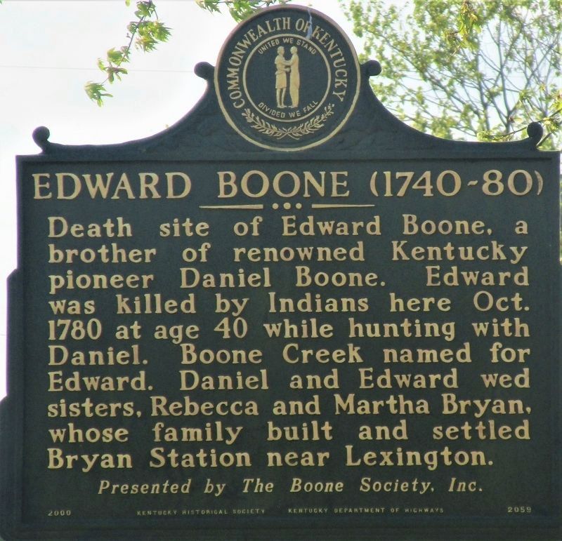
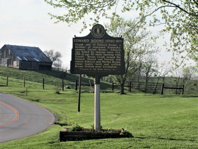
Death site of Edward Boone, a brother of renowned Kentucky pioneer Daniel Boone. Edward was killed by Indians here Oct 1780 at age 40 while hunting with Daniel. Boone Creek named for Edward. Daniel and Edward wed sisters, Rebecca and Martha Bryan, whose family built and settled Bryan Station near Lexington.
Erected 2000 by The Boone Society, Inc., Kentucky Historical Society and Kentucky Department of Highways. (Marker Number 2059.)
Topics and series. This historical marker is listed in this topic list: Settlements & Settlers. In addition, it is included in the Kentucky Historical Society series list. A significant historical year for this entry is 1780.
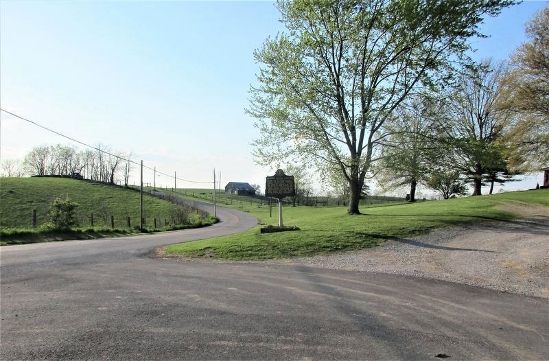
Location. 38° 11.113′ N, 84° 2.319′ W. Marker is near Carlisle, Kentucky, in Bourbon County. Marker is at the intersection of Cane Ridge Road (Kentucky Route 537) and See Road, on the left when traveling south on Cane Ridge Road. Touch for map. Marker is at or near this postal address: 3659 Cane Ridge Road, Carlisle KY 40311, United States of America. Touch for directions.
Other nearby markers. At least 8 other markers are within 9 miles of this marker, measured as the crow flies. Edward Boone (approx. 0.7 miles away); Henry Tureman Allen (approx. 6.1 miles away); Cane Ridge Meeting House (approx. 7.4 miles away); Upper Blue Licks (approx. 8˝ miles away); Carlisle Passenger Depot (approx. 8.8 miles away); Old Concord Church (approx. 8.8 miles away); County Name's Sake (approx. 8.8 miles away); Dr. Charles W. Mathers 1856-1937 / Nicholas County Benefactor (approx. 8.8 miles away). Touch for a list and map of all markers in Carlisle.
Credits. This page was last revised on June 3, 2021. It was originally submitted on April 25, 2021, by Rev. Ronald Irick of West Liberty, Ohio. This page has been viewed 479 times since then and 84 times this year. Photos: 1, 2, 3. submitted on April 25, 2021, by Rev. Ronald Irick of West Liberty, Ohio. • J. Makali Bruton was the editor who published this page.


