Central Business District in Cincinnati in Hamilton County, Ohio — The American Midwest (Great Lakes)
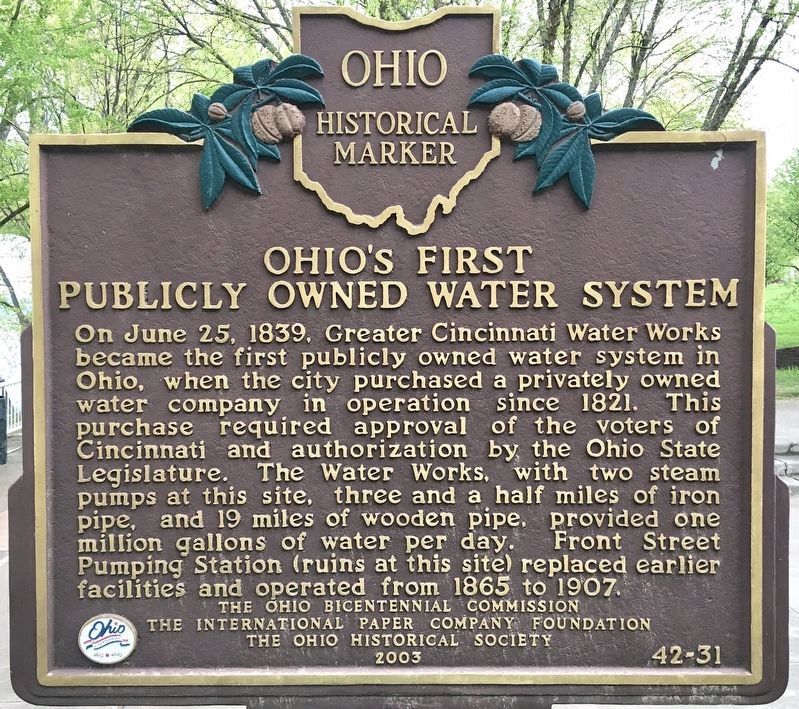
Ohio’s First Publicly Owned Water System
Erected 2003 by the Ohio Bicentennial Commission; the International Paper Company Foundation; and the Ohio Historical Society. (Marker Number 42-31.)
Topics and series. This historical marker is listed in these topic lists: Industry & Commerce • Natural Resources. In addition, it is included in the Ohio Historical Society / The Ohio History Connection series list. A significant historical date for this entry is June 25, 1839.
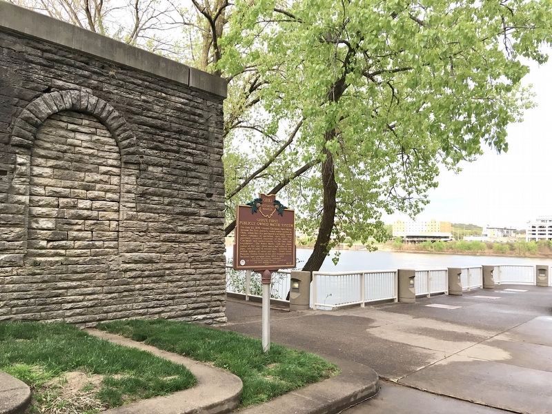
Location. 39° 6.149′ N, 84° 29.736′ W. Marker is in Cincinnati, Ohio, in Hamilton County. It is in the Central Business District. Marker can be reached from the intersection of Pete Rose Way (U.S. 52) and Riverside Drive, on the right when traveling east . Located at the waterfront near the Sawyer Point Tennis Courts. Touch for map. Marker is at or near this postal address: 815 E Pete Rose Way, Cincinnati OH 45202, United States of America. Touch for directions.
Other nearby markers. At least 8 other markers are within walking distance of this marker. The History Behind the Mt. Adams Steps Pathway (about 700 feet away, measured in a direct line); The Black Brigade of Cincinnati (approx. ¼ mile away); Cincinnati's German Heritage (approx. ¼ mile away); The Sultana (approx. ¼ mile away); Mt. Adams (approx. ¼ mile away); The Irish in Cincinnati (approx. ¼ mile away); 1749 French Claims to Ohio River Valley (approx. ¼ mile away); Lucius Quinctius Cincinnatus (approx. ¼ mile away). Touch for a list and map of all markers in Cincinnati.
Credits. This page was last revised on February 4, 2023. It was originally submitted on April 27, 2021, by Craig Baker of Sylmar, California. This page has been viewed 290 times since then and 52 times this year. Photos: 1, 2. submitted on April 27, 2021, by Craig Baker of Sylmar, California. • J. Makali Bruton was the editor who published this page.

