Boerne in Kendall County, Texas — The American South (West South Central)
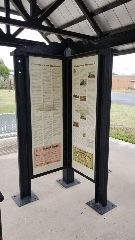
San Antonio Railroads
The rapid advancement of settlement west of the Mississippi River began in the 1860's, the first trans-continental railroad was completed when the Union Pacific and Central Pacific Railroads joined rails in Utah at a place called Promontory Point. The union of track at this point created a nationwide mechanized transportation network that reduced the travel time from four months to one week to journey from coast to coast. This single engineering milestone is considered by many as the greatest technological feat of the 19th century. In 1853, the first railroad to emerge from it's charter in and begin operations in Texas was the Buffalo Bayou, Brazos & Colorado Railway Company (BBB&C). The BBB&C was also the second railroad to operate west of the Mississippi River.
Several railroads made the grade to San Antonio to points in all four directions. The following are some of the major rail roads that connected the Alamo City to ports of commerce, centers of industry and port cities along the Gulf of Mexico.
GALVESTON, HARRISBURG & SAN ANTONIO (GH&SA)/SOUTHERN PACIFIC (SP)
San Antonio was finally linked by rail to the eastern United States when the first steam locomotive pulling passenger cars for the GH&SA pulled into town on February 19, 1877. The GH&SA has its beginnings with the BBB&C which was purchased by railroad magnate, Thomas Pierce, and renamed the GH&SA to illustrate the planned rail connections of this line.
Collis P. Huntington, one of the "Big Four" that created the Central Pacific, incorporated the Southern Pacific Rail road (SP) in 1870. In 1871, charters were obtained from both the US Congress and Texas Legislature to build a second transcontinental route, this one following the southern route between New Orleans and Los Angeles. Tycoons Huntington and Pierce worked together to create this southern route that did not have to contend with the treacherous Sierra Nevadas or Rocky Mountains. The final spike to complete this line commenced on the Pecos River bridge on December 1891, with far less fanfare than the original transcontinental route.
The first depot to serve San Antonio was nothing like its predecessor, it was purely functional in design as was most things with the railroads. The station was located where IH-35 and IH-37 converge, northeast of downtown San Antonio. In 1903, SP constructed the present day Sunset Station located along Commerce Street, near east of downtown San Antonio. This architectural landmark was adorned in numerous electric lights, a sign of prosperity of the times, and was the probable cause of a fire in 1907, resulting in substantial interior and roof damage. The station was quickly restored and passenger
service resumed.
A roundhouse to service the steam engines was located nearby, it was here that on March 8, 1912 the boiler of one of the steam engines exploded, killing or injuring 66 people. The force of the explosion was so great that debris was hurled seven blocks from the blast, windows where broken in houses several blocks away. The first doctor on the scene of the disaster was one of Dr. Herfl's sons, who quickly tended to the injured, many scalded from the superheated water, others hit by shrapnel and materials scattered throughout the roundhouse.
INTERNATIONAL & GREAT NORTHERN (I&GN)/ MISSOURI PACIFIC (MOPAC)
Four years after the arrival of the GH&SA, the I&GN, controlled by rail baron Jay Gould, rolled into town in February 1881, giving San Antonio its second railroad and rail connections to New Braunfels, Austin and points north.
Like the GH&SA, the original 1881 depot was primarily functional in design and comfort. I&GN's new Mission Revival Style depot completed in 1908 was designed by Harvey L. Page, renowned architect of several Texas courthouses and public buildings. The station was abandoned when the MOPAC ceased operations in San Antonio, leaving it unprotected and open to vandalism. In 1985, the San Antonio Employees Federal Credit Union purchased the decaying station and brought it back to its original splendor.
SAN ANTONIO & ARANSAS PASS (SA&AP)
Third in line to provide rail service was the locally developed SA&AP. San Antonio businessman, tired of dealing with the broader regional interests of the GH&SA and I&GN, were looking for another rail line to provide greater attention and more favorable shipping rates for local interests.
The SA&AP was incorporated in 1884 with Augustus Belknap, owner of the San Antonio Traction Company, as its first President. Several months later the company was restructured and Uriah Lott replaced Belknap as President. The destination of the new company was reached in 1886, when the SA&AP rolled into the port city of Corpus Christi.
The SA&AP was in its construction heyday when the Board of Directors authorized the extension of a branch line to Kerrville and a main line destined for the railroad hub of Houston. Waco was the next destination for the SA&AP and was reached by 1891. Under the leadership of Col. Lott, the SA&AP laid more than 800 miles of rail solely within Texas. In 1892, Captain Mifflin Kenedy, the primary financier for the SA&AP, agreed to sell the road to the Southern Pacific, it was later sold to the SP-controlled Texas & New Orleans rail road.
MISSOURI KANSAS - TEXAS (MKT)
The origin of the MKT began after the Civil War in 1865. This was to be a transcontinental route to link the Midwest
with southern states and the Gulf of Mexico. The MKT crossed into Texas in 1879 and by 1882 it reached central Texas and was finally linked to San Antonio when it connected with the I&GN which had arrived in San Antonio a year earlier. Jay Gould controlled both the I&GN and the MKT and tirelessly worked this to his personal advantage and to the detriment of both roads.
The landmark Katy depot was designed by Frederick Sterner in the Spanish Colonial Revival motif, the flanking towers were constructed to duplicate those of Mission Concepcion. Completed in 1917, this depot was meticulously handcrafted with ornate carvings, forged ironworks and select materials, only to be lost forever to the thoughtless fervor of urban renewal in 1968. Twenty years later the Katy faded into the history books when it was acquired by the much larger Union Pacific.
SAN ANTONIO, UVALDE & GULF (SA&UG)
A late comer to San Antonio was the SA&UG which arrived in 1914. The origin of this line began with the Crystal City & Uvalde Railroad (CC&U) that constructed a line from Uvalde, served by the GH&SA, due south 53 miles to Carrizo Springs. The CC&U built a second segment from Crystal City to a junction with the I&GN at Gardendale. The next destination became Fowlerton, a speculative townsite that briefly prospered, only to demise rapidly resulting from a culmination of market downturns, natural conditions and exaggerated representations. The CC&U changed its name to the San Antonio, Uvalde & Gulf, and its direction, turning to the northeast headed for Pleasanton and eventually linking with the I&GN to gain rail service to San Antonio. A line from Pleasanton to Corpus Christi, paralleling the SA&AP route, was completed in February 1914. The SA&UG was eventually sold to the MOPAC and folded into its Gulf Coast Lines Divsion.
UNION PACIFIC (UP) In 1982, the UP became a presence in San Antonio as a result of its merger with both the Missouri Pacific and Western Pacific railroads. Based in Omaha, Nebraska the UP is the largest rail carrier in the United States and is one of the two remaining western railroads, the other being the Burlington Northern Santa Fe. The UP is the primary rail carrier for San Antonio and has seen growth with the expansion of trade with Mexico and the cost effectiveness of shipping by rail with increasing fuel costs.
Captions
The GH&SA Depot, San Antonio's first, was located along Austin Street.
SP's magnificent Depot exists today along Commerce Street near the Alamodome.
The I&GN Depot exists today, located at corner of Commerce and Medina.
This roadhouse and maintenance facility served the I&GN Line.
The SA&SP Depot was located at the corner of Aransas and South Flores.
The Katy Depot was located at the corner of Durango and South Flores.
Map showing the Railroad network serving the San Antonio and Hill Country area.
Erected 2015 by City of Boerne - Parks and Recreation.
Topics. This historical marker is listed in this topic list: Railroads & Streetcars. A significant historical year for this entry is 1853.
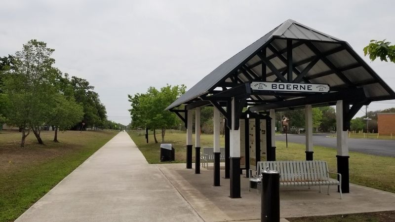
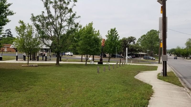
Location. 29° 47.785′ N, 98° 43.59′ W. Marker is in Boerne, Texas, in Kendall County. Marker is at the intersection of Stahl Street and East Blanco Road, on the left when traveling south on Stahl Street. The marker is located on the Old No. 9 hiking trail. Touch for map. Marker is in this post office area: Boerne TX 78006, United States of America. Touch for directions.
Other nearby markers. At least 8 other markers are within walking distance of this marker. San Antonio, Fredericksburg & Northern Railroad Company (SAF&N) (here, next to this marker); Lott Lines (here, next to this marker); Transportation Timeline (here, next to this marker); SA and AP (here, next to this marker); Boerne Chapter No. 200 - O.E.S. (within shouting distance of this marker); Kendall Masonic Lodge No. 897 (within shouting distance of this marker); Julius A. and Anna Phillip House (about 700 feet away, measured in a direct line); Early Boerne Schoolhouses (approx. 0.2 miles away). Touch for a list and map of all markers in Boerne.
Credits. This page was last revised on May 8, 2021. It was originally submitted on May 1, 2021, by James Hulse of Medina, Texas. This page has been viewed 210 times since then and 15 times this year. Photos: 1, 2, 3, 4. submitted on May 2, 2021, by James Hulse of Medina, Texas.


