East Lampeter Township near Lancaster in Lancaster County, Pennsylvania — The American Northeast (Mid-Atlantic)
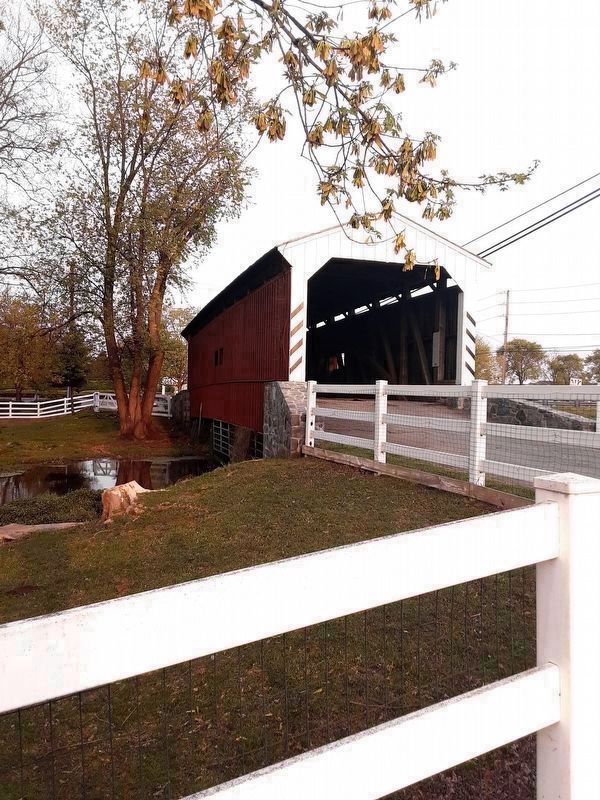
The Willows Covered Bridge
Built c. 1855
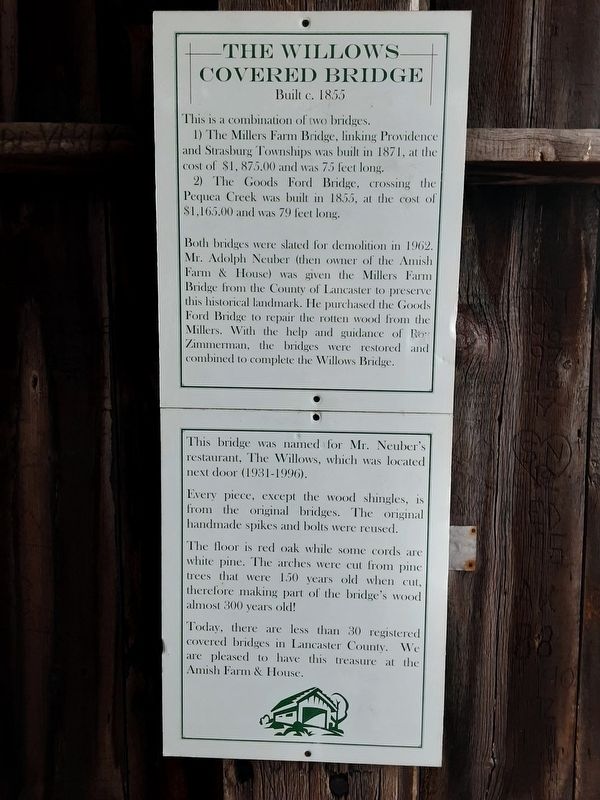
This is a combination of two bridges.
1) The Millers Farm Bridge, linking Providence and Strasburg Townships was built in 1871, at the cost of $1, 875.00 and was 75 feet long.
2) The Goods Ford Bridge, crossing the Pequea Creek was built in 1855, at the cost of $1,165.00 and was 79 feet long.
Both bridges were slated for demolition in 1962. Mr. Adolph Neuber (then owner of the Amish Farm & House) was given the Millers Farm Bridge from the County of Lancaster to preserve this historical landmark. He purchased the Goods Ford Bridge to repair the rotten wood from the Millers. With the help and guidance of Roy Zimmerman, the bridges were restored and combined to complete the Willows Bridge.
This bridge was named for Mr. Neuber's restaurant, The Willows, which was located next door (1931-1996).
Every piece, except the wood shingles, is from the original bridges. The original handmade spikes and bolts were reused.
The floor is red oak while some cords are white pine. The arches were cut from pine trees that were 150 years old when cut, therefore making part of the bridge's wood almost 300 years old!
Today, there are less than 30 registered covered bridges in Lancaster County. We are pleased to have this treasure at the Amish Farm & House.
Topics and series. This historical marker is listed in this topic list: Bridges & Viaducts. In addition, it is included in the Covered Bridges series list. A significant historical year for this entry is 1855.
Location. 40° 1.465′ N, 76° 12.1′ W. Marker is near Lancaster, Pennsylvania, in Lancaster County. It is in East Lampeter Township. Marker can be reached from Lincoln Highway (U.S. 30), on the right when traveling west. Touch for map. Marker is at or near this postal address: 2425 Lincoln Highway East, Lancaster PA 17602, United States of America. Touch for directions.
Other nearby markers. At least 8 other markers are within 4 miles of this marker, measured as the crow flies. Bird-in-Hand (approx. 1.1 miles away); Original Head Race & Water Turbine (approx. 2.4 miles away); Witmer's Tavern (approx. 2.4 miles away); Soudersburg Methodist Church (approx. 2.9 miles away); 33 East Main Street (approx. 3.2 miles away); 37 East Main Street (approx. 3.2 miles away); Lafayette (approx. 3.2 miles away); Neff's Mill Bridge (1875) (approx. 3.4 miles away). Touch for a list and map of all markers in Lancaster.

Photographed By Carl Gordon Moore Jr., April 28, 2021
2. The Willows Covered Bridge Marker
View is approximately southeast.
Bridge runs east-west, and is parallel to and just north of Lincoln Highway, which comes in from the right beyond the fence. Marker is visible near the edge of the bridge's south inner wall.
Bridge runs east-west, and is parallel to and just north of Lincoln Highway, which comes in from the right beyond the fence. Marker is visible near the edge of the bridge's south inner wall.

Photographed By Carl Gordon Moore Jr., April 28, 2021
3. The Willows Covered Bridge Marker
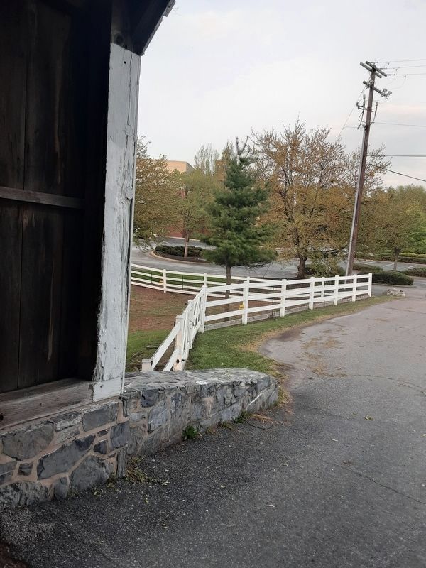
This is at the eastern edge of the bridge. At far left is eastern end of north inside wall of bridge. Just to its right, in background partially obscured by vegetation, is the American Music Theater, whose address is used in this entry.
Credits. This page was last revised on February 7, 2023. It was originally submitted on May 1, 2021, by Carl Gordon Moore Jr. of North East, Maryland. This page has been viewed 239 times since then and 38 times this year. Photos: 1, 2, 3. submitted on May 1, 2021, by Carl Gordon Moore Jr. of North East, Maryland. • Bill Pfingsten was the editor who published this page.
