Mount Sterling in Montgomery County, Kentucky — The American South (East South Central)
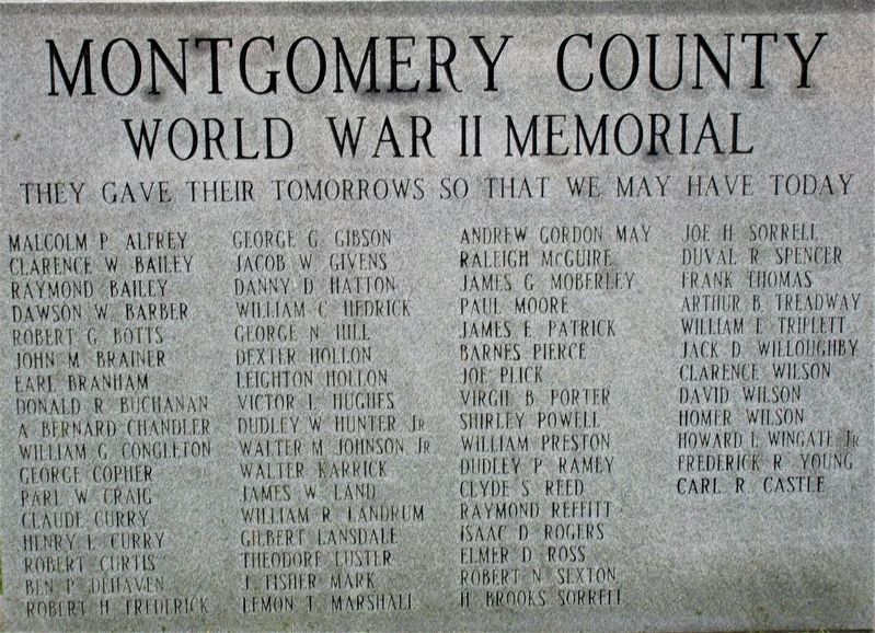
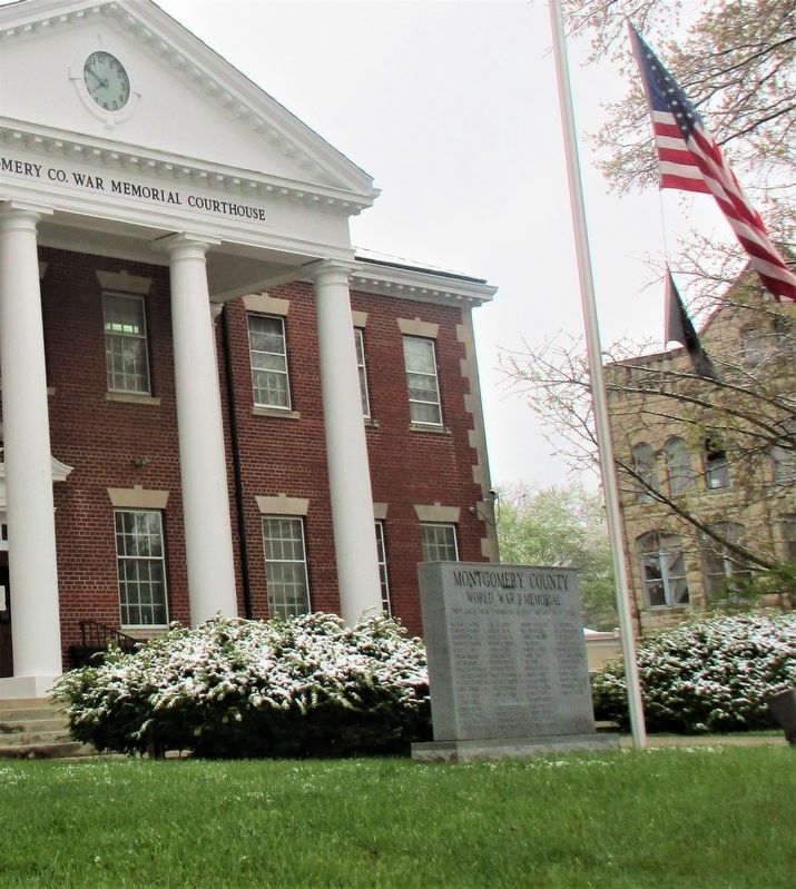
Montgomery County World War II Memorial
They gave their tomorrows so that we may have today
Malcolm P. Alfrey · Bailey, Clarence W. · Barber, Dawson W. · Dawson W. Barber · Robert G. Botts · John M. Brainer · Earl Branham · Donald R. Buchanan · A. Bernard Chandler · William G. Congleton · George Copher · Parl W. Craig · Claude Curry · Henry L. Curry · Robert Curtis · Ben P. Dehaven · Robert H. Frederick · George G. Gibson · Jacob W. Givens · Danny D. Hatton · William C. Hedrick · George N. Hill · Dexter Hollon · Leighton Hollon · Victor L. Hughes · Dudley W. Hunter, Jr. · Walter M. Johnson, Jr. · Walter Karrick · James W. Land · William R. Landrum · Gilbert Lansdale · Theodore Luster · J. Fisher Mark · Lemon T. Marshall · Andrew Gordon May · Raleigh McGuire · James Moberley · Paul Moore · James E. Patrick · Barnes Pierce · Joe Plick · Virgil B. Porter · Shirleyy Powell · William Preston · Dudley P. Ramey · Clyde S. Reed · Raymond Reffitt · Isaac D. Rogers · Elmer D. Ross · Robert N. Sexton · H. Brooks Sorrell · Joe H. Sorrell · Duval R. Spencer · Frank Thomas · Arthur B. Treadway · William E. Triplett · Jack D. Willoughby · Clarence Wilson · David Wilson · Homer Wilson · Howard L. Wingate, Jr. · Frederick R. Young · Carl R. Castle
Topics. This memorial is listed in this topic list: War, World II.
Location. 38° 3.416′ N, 83° 56.565′ W. Marker is in Mount Sterling, Kentucky, in Montgomery County. Memorial is at the intersection of Courthouse Square (County Route 1066) and North Maysville Street (U.S. 460), on the right when traveling east on Courthouse Square. marker is on the south Courthouse lawn. Touch for map. Marker is at or near this postal address: 7 Courthouse Square, Mount Sterling KY 40353, United States of America. Touch for directions.
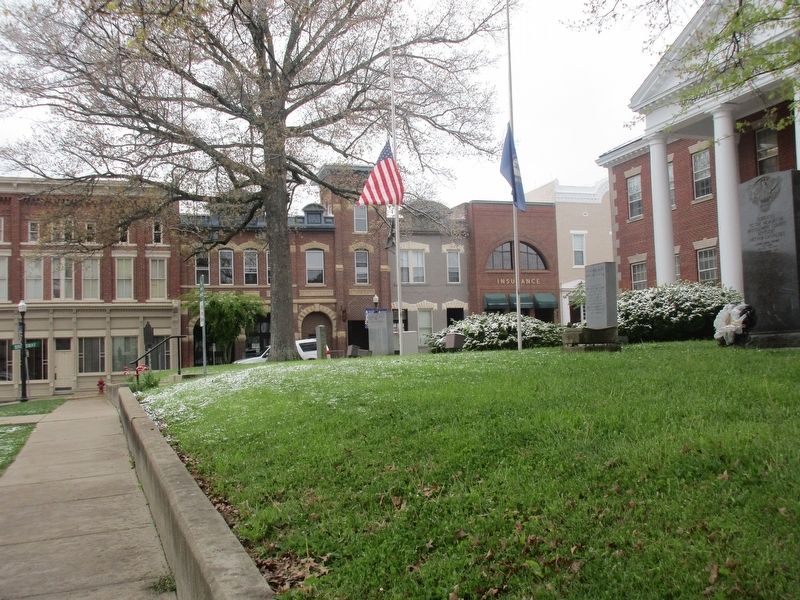
Other nearby markers. At least 8 other markers are within walking distance of this marker. Montgomery County Kentucky World War I Memorial (here, next to this marker); Montgomery County Korean War Memorial (here, next to this marker); Montgomery County Kentucky Vietnam Casualties (a few steps from this marker); Montgomery County Veterans Memorial (a few steps from this marker); Montgomery County. 1797 (within shouting distance of this marker); Courthouse Burned (within shouting distance of this marker); Battle of Mt. Sterling (within shouting distance of this marker); Mt. Sterling, Kentucky (about 300 feet away, measured in a direct line). Touch for a list and map of all markers in Mount Sterling.
Credits. This page was last revised on May 4, 2021. It was originally submitted on May 3, 2021, by Rev. Ronald Irick of West Liberty, Ohio. This page has been viewed 201 times since then and 38 times this year. Photos: 1, 2, 3. submitted on May 3, 2021, by Rev. Ronald Irick of West Liberty, Ohio. • J. Makali Bruton was the editor who published this page.


