Pittstown in Hunterdon County, New Jersey — The American Northeast (Mid-Atlantic)
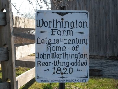
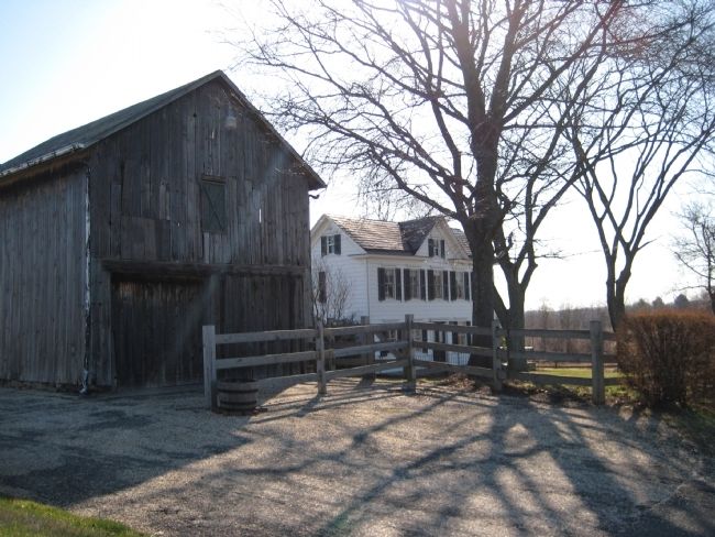
Worthington Farm
Erected by Union Township Historic Committee.
Topics. This historical marker is listed in this topic list: Architecture. A significant historical year for this entry is 1820.
Location. 40° 35.742′ N, 74° 58.317′ W. Marker is in Pittstown, New Jersey, in Hunterdon County. Marker is on Bloomsbury Road (County Route 579), on the right when traveling west. Touch for map. Marker is in this post office area: Pittstown NJ 08867, United States of America. Touch for directions.
Other nearby markers. At least 8 other markers are within 2 miles of this marker, measured as the crow flies. Taylor Farm (approx. 0.8 miles away); Mount Salem Church (approx. 0.9 miles away); Linden Farms (approx. 1.1 miles away); Rockhill Property (approx. 1.1 miles away); Century Inn (approx. 1.1 miles away); Stone Mill (approx. 1.2 miles away); King's Manor (approx. 1.3 miles away); Mechlin's Tavern (approx. 1.3 miles away). Touch for a list and map of all markers in Pittstown.
Credits. This page was last revised on November 24, 2019. It was originally submitted on March 22, 2009, by Alan Edelson of Union Twsp., New Jersey. This page has been viewed 943 times since then and 17 times this year. Photos: 1, 2. submitted on March 22, 2009, by Alan Edelson of Union Twsp., New Jersey. • Kevin W. was the editor who published this page.
Editor’s want-list for this marker. Information about John Worthington. • Can you help?

