Near Archbold in Fulton County, Ohio — The American Midwest (Great Lakes)
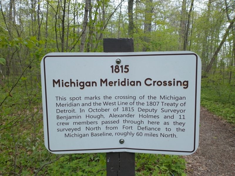
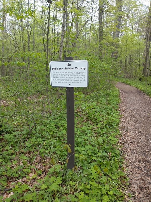
1815 Michigan Meridian Crossing
Topics. This historical marker is listed in these topic lists: Exploration • Forts and Castles. A significant historical month for this entry is October 1815.
Location. 41° 33.081′ N, 84° 21.553′ W. Marker is near Archbold, Ohio, in Fulton County. Marker is on County Route 26, on the right when traveling north. Touch for map. Marker is in this post office area: Archbold OH 43502, United States of America. Touch for directions.
Other nearby markers. At least 8 other markers are within 4 miles of this marker, measured as the crow flies. Bur Oak (about 700 feet away, measured in a direct line); Ohio Champion (approx. 0.2 miles away); Goll Woods / Deputy Surveyor James Riley (approx. ¼ mile away); Goll Woods (approx. ¼ mile away); Goll Cemetery (approx. 0.6 miles away); What About That Arrow? (approx. 2.6 miles away); Archbold (approx. 2.9 miles away); Erie J. Sauder (approx. 3.1 miles away). Touch for a list and map of all markers in Archbold.
Credits. This page was last revised on May 8, 2021. It was originally submitted on May 6, 2021, by Craig Doda of Napoleon, Ohio. This page has been viewed 173 times since then and 11 times this year. Photos: 1, 2. submitted on May 6, 2021, by Craig Doda of Napoleon, Ohio. • J. Makali Bruton was the editor who published this page.

