Sulphur Springs in Jefferson County, Missouri — The American Midwest (Upper Plains)
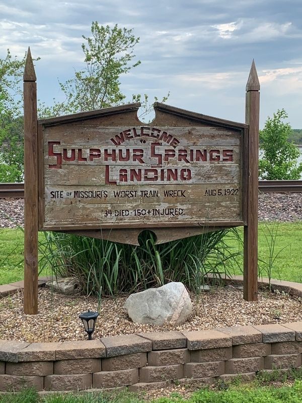
Welcome to Sulphur Springs Landing
Photographed by Thomas Smith, May 8, 2021
1. Site of Missouri Worst Train Wreck Marker
Site of Missouri's worst train wreck
Aug 5 1922
34 died 150+ injured
Topics. This historical marker is listed in these topic lists: Disasters • Railroads & Streetcars. A significant historical date for this entry is August 5, 1922.
Location. 38° 20.206′ N, 90° 22.433′ W. Marker is in Sulphur Springs, Missouri, in Jefferson County. It is on Sulphur Springs Landing just north of Burgess Avenue, on the right when traveling north. Touch for map. Marker is at or near this postal address: 6911 Sulphur Springs Landing, Imperial MO 63052, United States of America. Touch for directions.

Regionally, this marker is in the Missouri River Corridor and in Greater St. Louis. It is also in the American Midwest, in the Lewis & Clark Corridor, in the Corn Belt, and in the Great River Road Region. Globally, it is in North America, the Western Hemisphere, the Western World, and the Anglosphere. Historically, it finds itself in what was once the territory of the Mississippian Culture, the Louisiana Purchase, and the Antebellum South.
Other nearby markers. At least 8 other markers are within 3 miles of this marker, measured as
this page online
Photographed by Thomas Smith, May 8, 2021
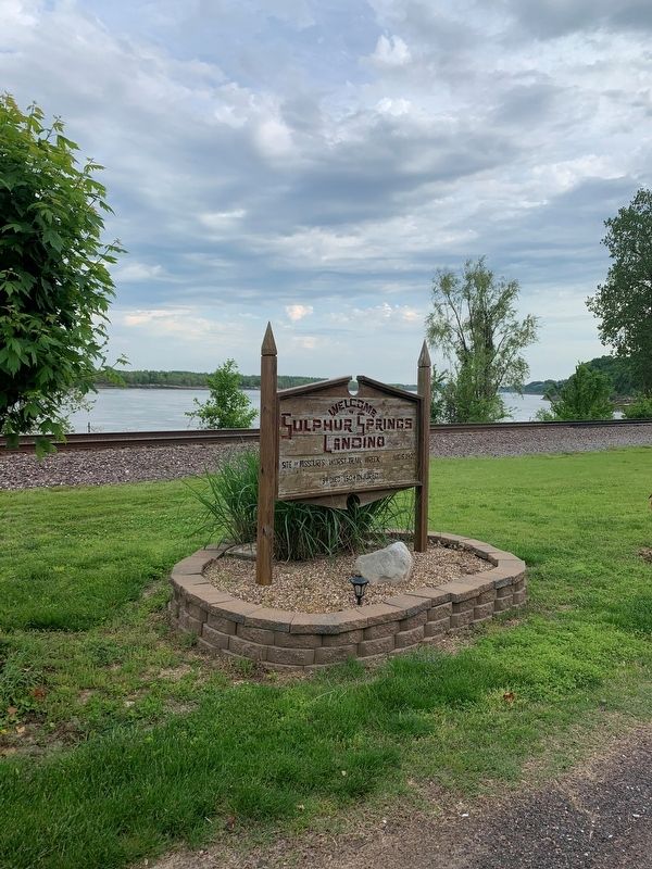
2. Site of Missouri Worst Train Wreck Marker
Credits. This page was last revised on May 11, 2021. It was originally submitted on May 9, 2021, by Thomas Smith of Waterloo, Ill. This page has been viewed 1,688 times since then and 146 times this year. Photos: 1, 2. submitted on May 9, 2021, by Thomas Smith of Waterloo, Ill. • Devry Becker Jones was the editor who published this page.
