Batesburg-Leesville in Lexington County, South Carolina — The American South (South Atlantic)
Old Batesburg-Leesville High School
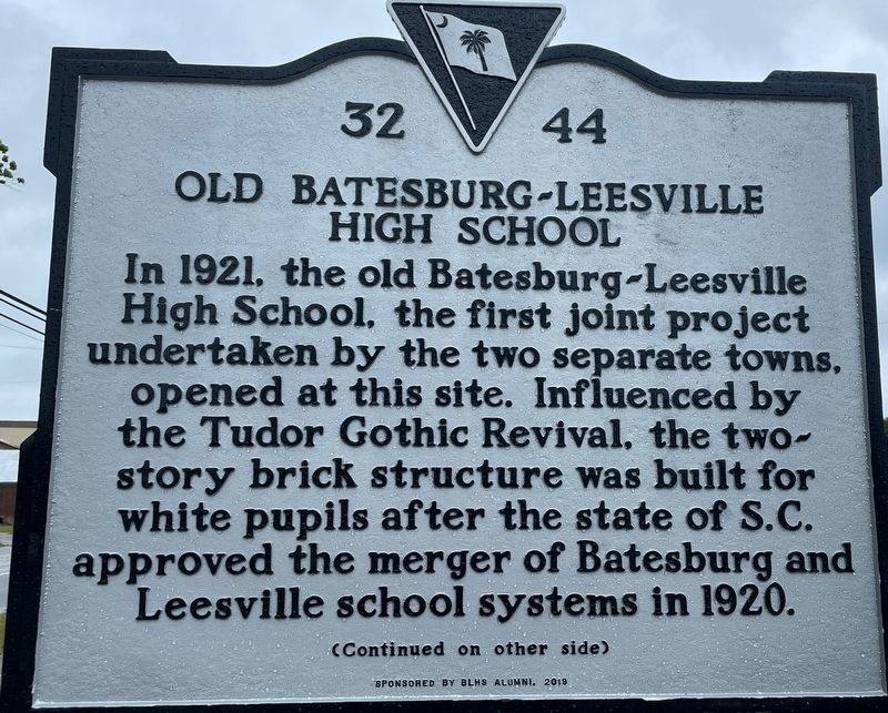
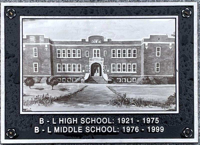
In 1921, the old Batesburg-Leesville High School, the first joint project undertaken by the two separate towns, opened at this site. Influenced by the Tudor Gothic Revival, the two-story brick structure was built for white pupils after the state of S.C. approved the merger of Batesburg and Leesville school systems in 1920.
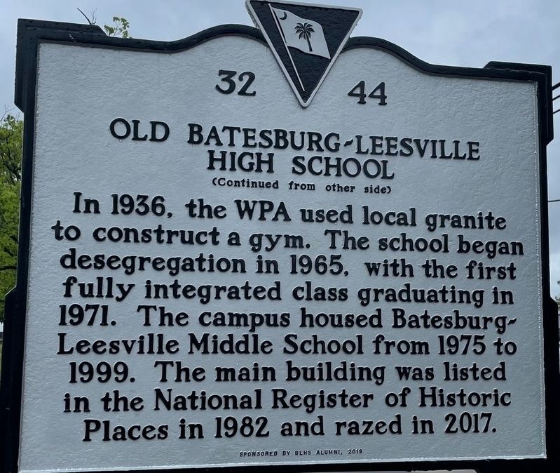
In 1936, the WPA used local granite to construct a gym. The school began desegregation in 1965, with the first fully integrated class graduating in 1971. The campus housed Batesburg-Leesville Middle School from 1975 to 1999. The main building was listed in the National Register of Historic Places in 1982 and razed in 2017. Sponsored by BLHM Alumni, 2019
Erected 2019 by BLHS Alumni. (Marker Number 32-44.)
Topics and series. This historical marker is listed in these topic lists: Architecture • Education. In addition, it is included in the Works Progress Administration (WPA) projects series list.
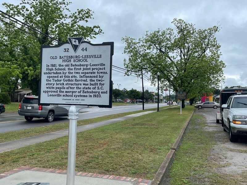
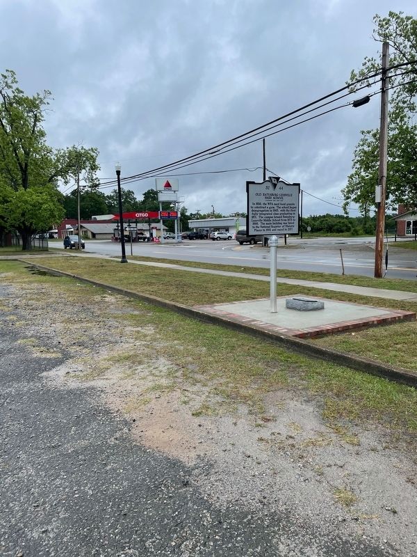
Location. 33° 54.648′ N, 81° 31.769′ W. Marker is in Batesburg-Leesville, South Carolina, in Lexington County. Marker is at the intersection of West Columbia Ave (U.S. 1) and Shealey Rd (County Highway S-32-47), on the right when traveling west on West Columbia Ave. marker is in front of Lifelong Learning Center. Touch for map. Marker is at or near this postal address: 101 West Colmbia Ave, Batesburg SC 29006, United States of America. Touch for directions.
Other nearby markers. At least 8 other markers are within 7 miles of this marker, measured as the crow flies. Lee's Tavern Site (about 600 feet away, measured in a direct line); Site of the "Swamp Rabbit" Bridge / The Swamp Rabbit (approx. 0.3 miles away); Hartley House (approx. ¾ mile away); Blinding of Isaac Woodard (approx. 1.2 miles away); Batesburg Institute (approx. 1.3 miles away); Moorefield Memorial Highway (approx. 4.2 miles away); Pinarea / Quattlebaum Sawmill, Flour Mill, and Rifle Factory (approx. 6.2 miles away); Jacob Odom House (approx. 6.6 miles away). Touch for a list and map of all markers in Batesburg-Leesville.
More about this marker. marker replaced an older Blue Star Highway marker
Credits. This page was last revised on January 15, 2024. It was originally submitted on May 12, 2021, by Rev. Ronald Irick of West Liberty, Ohio. This page has been viewed 335 times since then and 59 times this year. Photos: 1, 2, 3, 4, 5. submitted on May 12, 2021, by Rev. Ronald Irick of West Liberty, Ohio. • Bill Pfingsten was the editor who published this page.
