Birch River in Nicholas County, West Virginia — The American South (Appalachia)
Nicholas County
⎯⎯⎯
Braxton County
Photographed by Mike Wintermantel, May 14, 2021
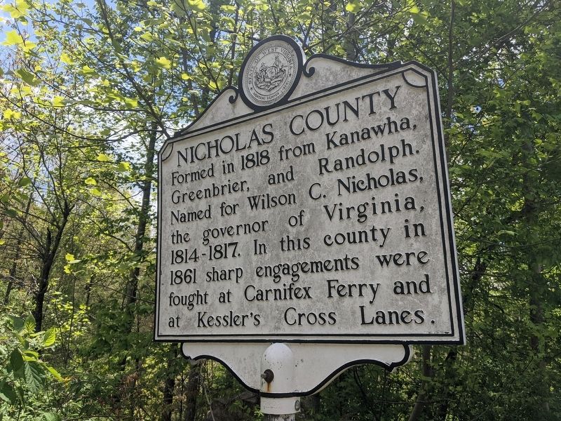
1. Nicholas County Marker
Nicholas County. Formed in 1818 from Kanawha, Greenbrier, and Randolph. Named for Wilson C. Nicholas, the governor of Virginia, 1814-1817. In this county in 1861 sharp engagements were fought at Carnifex Ferry and at Kessler's Cross Lanes.
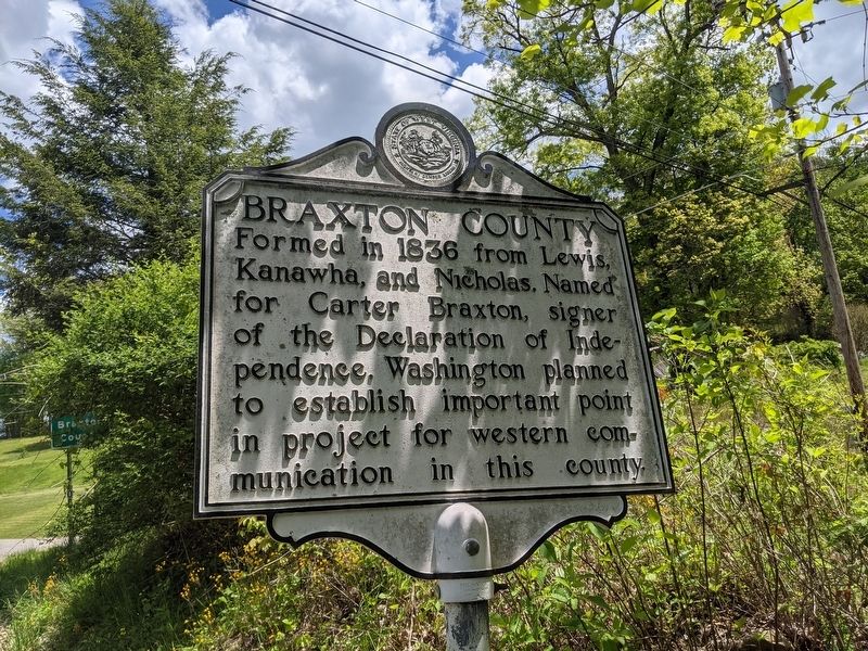
Braxton County. Formed, 1836, from Kanawha, Lewis, and Nicholas. Named for Carter Braxton, one of the signers of the Declaration of Independence. Washington planned to establish important point in project for western communication in this county.
Topics. This historical marker is listed in this topic list: Notable Places. A significant historical year for this entry is 1818.
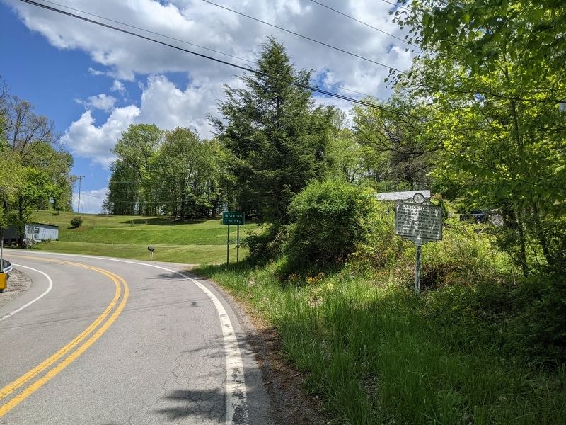
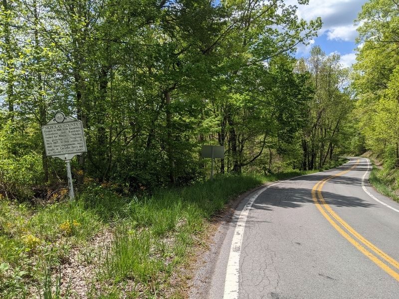
Location. 38° 32.205′ N, 80° 42.762′ W. Marker is in Birch River, West Virginia, in Nicholas County. It is at the intersection of Old Turnpike Road (County Route 19/40) and Laurel Run Road, on the right when traveling north on Old Turnpike Road. Touch for map. Marker is in this post office area: Birch River WV 26610, United States of America. Touch for directions.

Regionally, this marker is in the New River Gorge and in Greater Charleston Area. It is also in the American South, specifically in the Upper South,
this page online
Other nearby markers. At least 8 other markers are within 9 miles of this marker, measured as the crow flies: Geographic Center (approx. 5.9 miles away); Young's Monument (approx. 6.3 miles away); Braxton County Jail (approx. 8.8 miles away); Revolutionary War Monument (approx. 8.8 miles away); World War 1917–18 Memorial (approx. 8.8 miles away); Brigadier General James Kemp McLaughlin (approx. 8.8 miles away); Suttonville (approx. 8.8 miles away); How Did Braxton County Get Its Name? (approx. 8.8 miles away).
Another marker is no longer nearby. The War and Suttonville (was approx. 8.8 miles away but has been replaced with another marker now near it).
Photographed by Mike Wintermantel, May 14, 2021
2. Braxton County Marker
Photographed by Mike Wintermantel, May 14, 2021
3. Braxton County Marker
Photographed by Mike Wintermantel, May 14, 2021
4. Nicholas County Marker
Credits. This page was last revised on August 5, 2021. It was originally submitted on May 15, 2021, by Mike Wintermantel of Pittsburgh, Pennsylvania. This page has been viewed 447 times since then and 60 times this year. Photos: 1, 2, 3, 4. submitted on May 15, 2021, by Mike Wintermantel of Pittsburgh, Pennsylvania.
