Near Buckhannon in Upshur County, West Virginia — The American South (Appalachia)
Pringle Tree
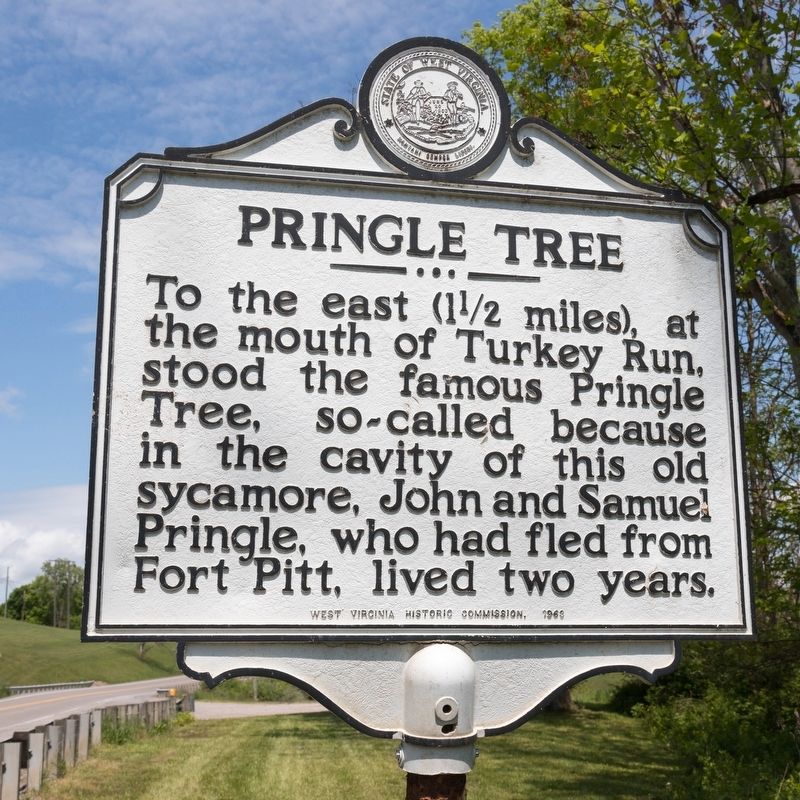
Photographed by J. J. Prats, May 16, 2021
1. Pringle Tree Marker
Erected 1969 by West Virginia Historic Commission.
Topics. This historical marker is listed in this topic list: War, US Revolutionary.
Location. 39° 1.14′ N, 80° 13.732′ W. Marker is near Buckhannon, West Virginia, in Upshur County. It is on Clarksburg Road (U.S. 119) half a mile north of Pringle Tree Road (Local Route 119/2), on the right when traveling north. Touch for map. Marker is at or near this postal address: 1340 Clarksburg Rd, Buckhannon WV 26201, United States of America. Touch for directions.

Regionally, this marker is in North Central West Virginia. It is also in the American South, specifically in the Upper South, in Appalachia, and specifically in Northern Appalachia. Globally, it is in North America, the Western Hemisphere, the Western World, and the Anglosphere. Historically, it finds itself in what was once the territory of the Mississippian
this page online
Other nearby markers. At least 8 other markers are within 2 miles of this marker, measured as the crow flies: A different marker also named Pringle Tree (approx. 1.1 miles away); a different marker also named The Pringle Tree (approx. 1.1 miles away); The Bicentennial Sycamore Tree (approx. 1.2 miles away); a different marker also named Pringle Tree (approx. 1.2 miles away); Buckhannon Veteran Memorial Wall (approx. 1.4 miles away); Upshur County Veterans War Dead Memorial (approx. 1.4 miles away); We Honor Our "Unknowns (approx. 1.4 miles away); Larry Brown Flagpole Hill (approx. 1½ miles away). Touch for a list and map of all markers in Buckhannon.
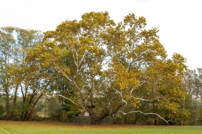
Regarding Pringle Tree. Take Pringle Tree Road to a left on Pringle Tree Park Road (Route 20/6) to the park where the Pringle Tree stood. The third generation of the tree is there and it appears that a fourth generation tree was recently planted.
Also see . . . . Pringle Tree entry in West Virginia Explorer. Excerpt:
Deserters from the British-American forces mustered at Fort Pitt, at Pittsburgh, during the French and Indian War, they found the wilderness along(Submitted on May 17, 2021, by J. J. Prats of Powell, Ohio.)the river ideal for hiding.Photographed by J. J. Prats, May 16, 20212. Pringle Tree Marker
In 1768 John returned from a visit to a trading post on the South Branch of the Potomac River and became convinced that he and Samuel were no longer considered renegades. In 1769 they led a small group of settlers back to the valley to establish a permanent settlement.
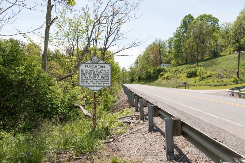
Photographed by J. J. Prats, October 12, 2021
3. The Third Generation Pringle Tree at Pringle Tree Park
Credits. This page was last revised on December 19, 2024. It was originally submitted on May 17, 2021, by J. J. Prats of Powell, Ohio. This page has been viewed 1,815 times since then and 124 times this year. Photos: 1, 2. submitted on May 17, 2021, by J. J. Prats of Powell, Ohio. 3. submitted on October 24, 2021, by J. J. Prats of Powell, Ohio.
