Buckhannon in Upshur County, West Virginia — The American South (Appalachia)
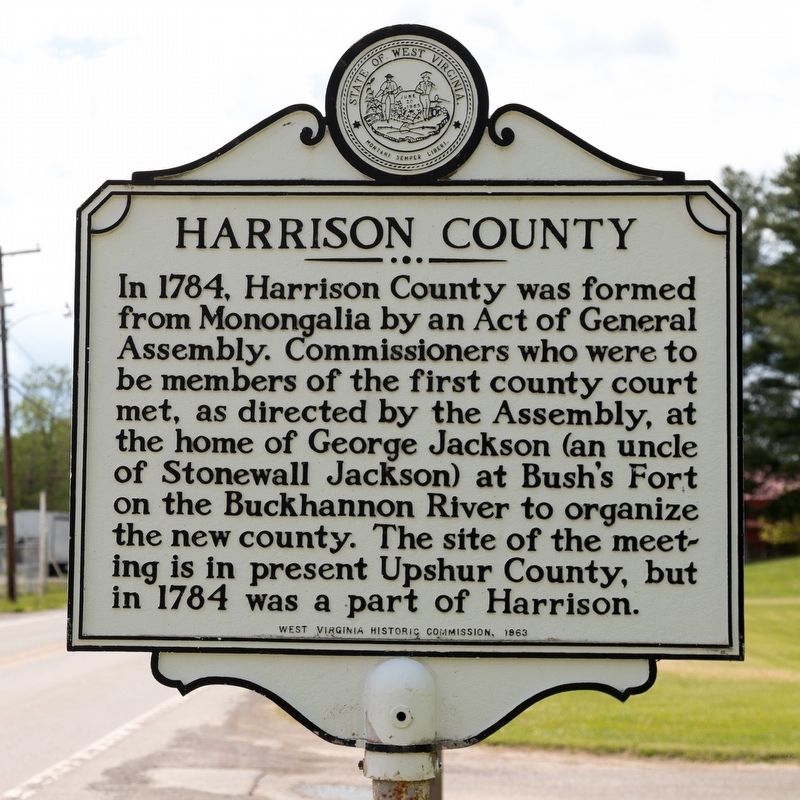
Harrison County
Erected 1963 by West Virginia Historic Commission.
Topics. This historical marker is listed in this topic list: Political Subdivisions. A significant historical year for this entry is 1784.
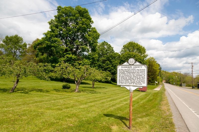
Location. 38° 59.676′ N, 80° 13.035′ W. Marker is in Buckhannon, West Virginia, in Upshur County. Marker is on Island Avenue / Old Elkins Road (Route 151) 0.2 miles west of Utopia Lane, on the right when traveling west. Touch for map. Marker is at or near this postal address: 111 Island Ave, Buckhannon WV 26201, United States of America. Touch for directions.
Other nearby markers. At least 8 other markers are within walking distance of this marker. George R. Latham (approx. half a mile away); Resting Place (approx. half a mile away); Joyce S. Stockert (approx. half a mile away); D. D. T. Farnsworth (approx. 0.6 miles away); Charles Burton "Charley" Harper (approx. 0.6 miles away); Dairy Queen / Buckhannon City Hall (approx. 0.6 miles away); Stockert Building / People's Grocery & Home Hardware (approx. 0.6 miles away); Leonard Mactaggart "Pare" Lorentz (approx. 0.6 miles away). Touch for a list and map of all markers in Buckhannon.
More about this marker. When the marker was erected, this roadway was U.S. 33.
Credits. This page was last revised on May 18, 2021. It was originally submitted on May 18, 2021, by J. J. Prats of Powell, Ohio. This page has been viewed 128 times since then and 14 times this year. Photos: 1, 2. submitted on May 18, 2021, by J. J. Prats of Powell, Ohio.

