Smith Covered Bridge
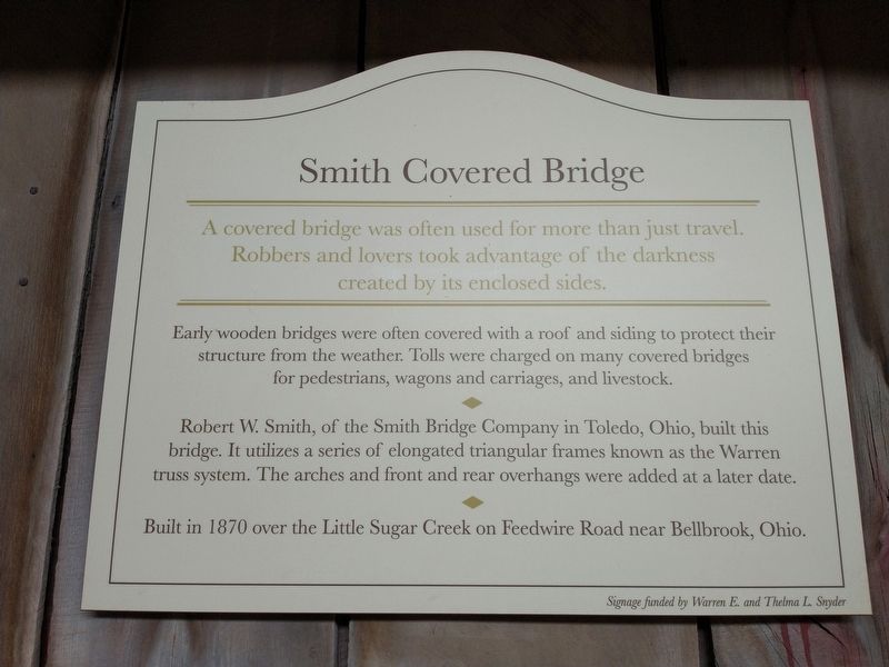
A covered bridge was often used for more than just travel. Robbers and lovers took advantage of the darkness created by its enclosed sides.
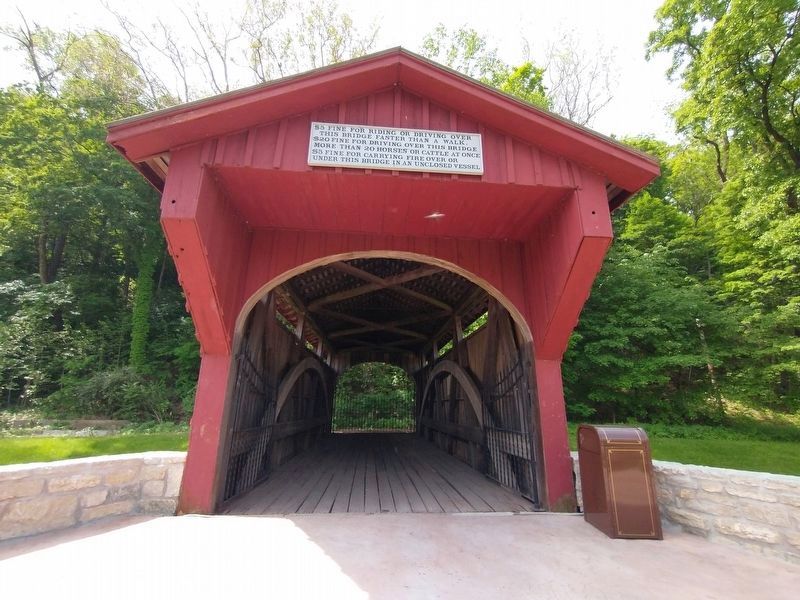
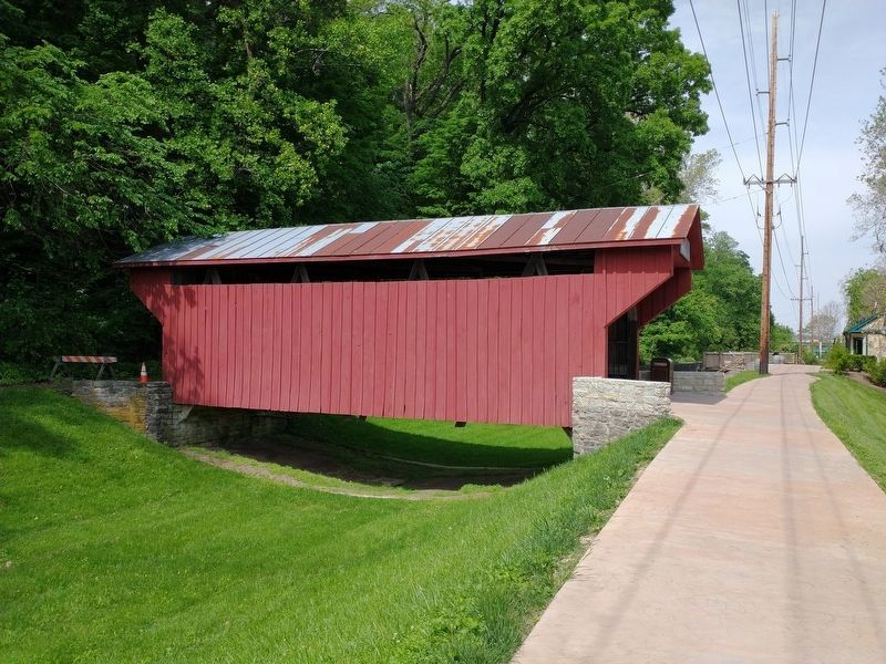
Early wooden bridges were often covered with a roof and siding to protect their structure from the weather. Tolls were charged on many covered bridges for pedestrians, wagons and carriages, and livestock.
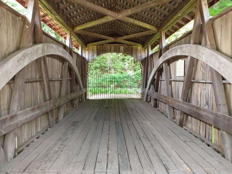
Robert W. Smith, of the Smith Bridge Company in Toledo, Ohio, built this bridge. It utilizes a series of elongated triangular frames known as the Warren truss system. The arches and front and rear overhangs were added at a later date.
Built in 1870 over the Little Sugar Creek on Feedwire Road near Bellbrook, Ohio.
Topics and series. This historical marker is listed in this topic list: Bridges & Viaducts. In addition, it is included in the Covered Bridges series list. A significant historical year for this entry is 1870.
Location. 39° 43.682′ N, 84° 12.147′ W. Marker is in Dayton, Ohio, in Montgomery County. It is in University Park. Marker can be reached from Carillon Boulevard, 0.3 miles west of South Patterson Boulevard, on the left when traveling west. Touch for map. Marker is in this post office area: Dayton OH 45439, United States of America. Touch for directions.
Other nearby markers. At least 8 other markers are within walking distance of this marker. Dayton Cyclery (within shouting distance of this marker); Miami and Erie Canal Lock No. 17 (within
Also see . . . Smith Covered Bridge. (Submitted on March 15, 2023, by Craig Doda of Napoleon, Ohio.)
Credits. This page was last revised on March 16, 2023. It was originally submitted on May 23, 2021, by Craig Doda of Napoleon, Ohio. This page has been viewed 198 times since then and 32 times this year. Photos: 1, 2, 3, 4. submitted on May 23, 2021, by Craig Doda of Napoleon, Ohio. • Devry Becker Jones was the editor who published this page.


