University Park in Dayton in Montgomery County, Ohio — The American Midwest (Great Lakes)
Bowling Green Depot
Photographed by Craig Doda, May 22, 2021
1. Bowling Green Depot Marker
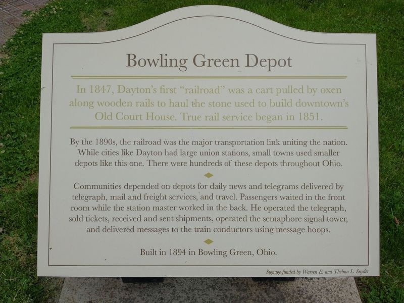
In 1847, Dayton's first "railroad” was a cart pulled by oxen along wooden rails to haul the stone used to build downtown's Old Court House. True rail service began in 1851.
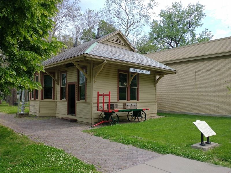
By the 1890s, the railroad was the major transportation link uniting the nation. While cities like Dayton had large union stations, small towns used smaller depots like this one. There were hundreds of these depots throughout Ohio.
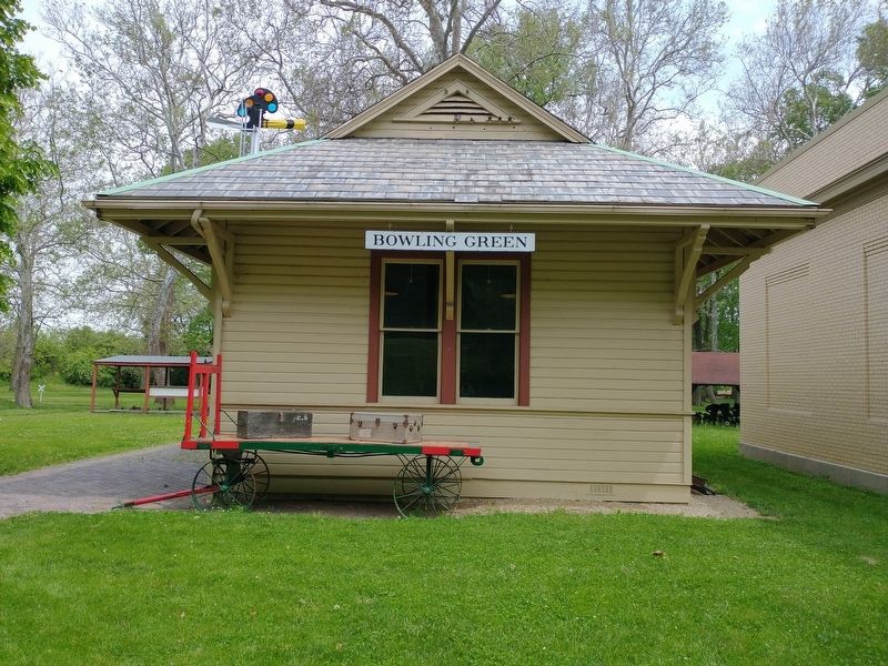
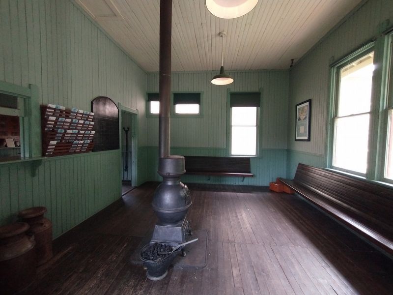
Communities depended on depots for daily news and telegrams delivered by telegraph, mail and freight services, and travel. Passengers waited in the front room while the station master worked in the back. He operated the telegraph, sold tickets, received and sent shipments, operated the semaphore signal tower, and delivered messages to the train conductors using message hoops.
Built in 1894 in Bowling Green, Ohio.
Topics. This historical marker is listed in this topic list: Railroads & Streetcars. A significant historical year for this entry is 1847.
Location. 39° 43.701′ N, 84° 12.13′ W. Marker is in Dayton, Ohio, in Montgomery County. It is in University Park. It can be reached from Carillon Boulevard 0.3
this page online

Regionally, this marker is in the Miami Valley. It is also in the American Midwest and in the Corn Belt. Globally, it is in North America, the Western Hemisphere, the Western World, and the Anglosphere. Historically, it finds itself in what was once the Haudenosaunee (Iroquois) Confederacy, the territory of the Mississippian Culture, and the Northwest Territory.
Other nearby markers. At least 8 other markers are within walking distance of this marker: The Great 1913 Flood Exhibit Building (within shouting distance of this marker); Dayton Cyclery (within shouting distance of this marker); Smith Covered Bridge (within shouting distance of this marker); Dayton Sales (within shouting distance of this marker); Miami and Erie Canal Lock No. 17 (within shouting distance of this marker); Wright Hall (about 300 feet away, measured in a direct line); James F. Dicke Family Transportation Center
Photographed by Craig Doda, May 22, 2021
2. Bowling Green Depot Marker
Photographed by Craig Doda, May 22, 2021
3. Bowling Green Depot Marker
Photographed by Craig Doda, May 22, 2021
4. Bowling Green Depot Marker
Credits. This page was last revised on February 4, 2023. It was originally submitted on May 23, 2021, by Craig Doda of Napoleon, Ohio. This page has been viewed 675 times since then and 38 times this year. Photos: 1, 2, 3, 4. submitted on May 23, 2021, by Craig Doda of Napoleon, Ohio. • Devry Becker Jones was the editor who published this page.
