West Columbia in Brazoria County, Texas — The American South (West South Central)
The "Varner", 1835.
Inscription.
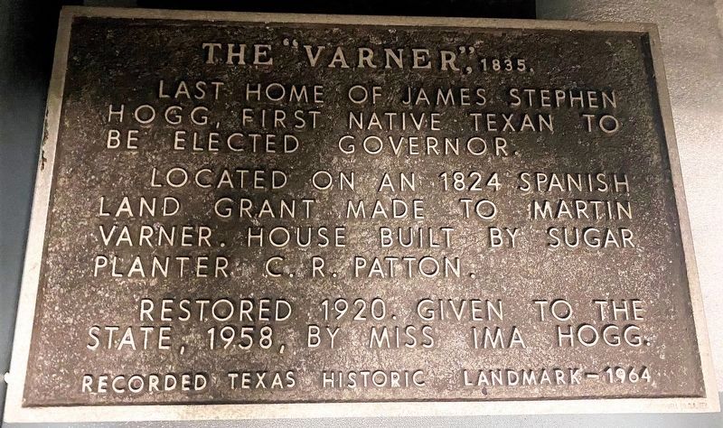
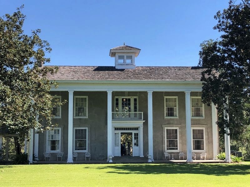
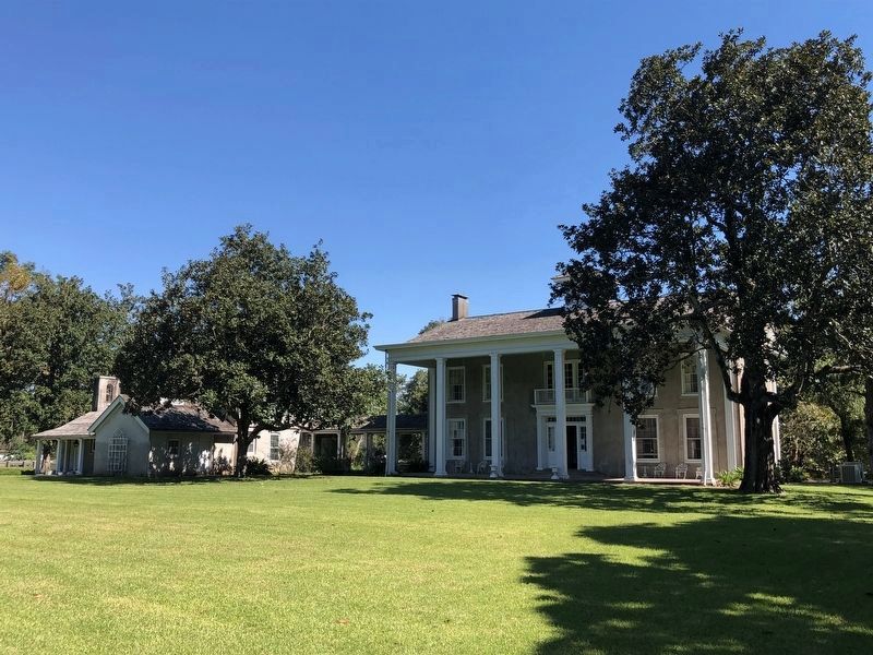
Last home of James Stephen Hogg, first native Texan to be elected governor. Located on an 1824 Spanish land grant made to Martin Varner. House built by sugar planter C. R. Patton. Restored 1920. Given to the State, 1958, by Miss Ima Hogg.
Recorded Texas Historic Landmark - 1964
Erected 1964 by Texas Historical Commission. (Marker Number 9603.)
Topics. This historical marker is listed in this topic list: Settlements & Settlers. A significant historical year for this entry is 1835.
Location. Marker has been reported missing. It was located near 29° 9.766′ N, 95° 38.352′ W. Marker was in West Columbia, Texas, in Brazoria County. Marker could be reached from Val Verde Court east of Hogg Ranch Road, on the right when traveling east. The marker is not publicly displayed as of a visit on May 23, 021; however it was previously displayed at the indicated GPS coordinates. Touch for map. Marker was in this post office area: West Columbia TX 77486, United States of America. Touch for directions.
Other nearby markers. At least 8 other markers are within 2 miles of this location, measured as the crow flies. Oil Field Row (about 600 feet away, measured in a direct line); The Sugar Mill (about 600 feet away); The Slave Quarters (approx. 0.2 miles away); Home of George B. McKinstry (approx. one mile away); Vietnam Veterans Memorial (approx. 1.3 miles away); Near Site of First Capitol of the Republic of Texas (approx. 1.3 miles away); Religion in the New Capital (approx. 1.3 miles away); From Republic to Statehood (approx. 1.3 miles away). Touch for a list and map of all markers in West Columbia.
More about this marker. Not finding the marker at Varner-Hogg Plantation State Historical Site, an inquiry was made to the THC staff there. They replied "The historical marker used to be bolted to the plantation house under the window to the right of the current front door. I think it was removed around 2012 so the house could be painted. It is currently locked in a cabinet here at Varner-Hogg’s collections facility." They also provided the photo above.
Credits. This page was last revised on September 25, 2021. It was originally submitted on May 24, 2021, by Chris Kneupper of Brazoria, Texas. This page has been viewed 192 times since then and 20 times this year. Photos: 1. submitted on May 24, 2021, by Chris Kneupper of Brazoria, Texas. 2, 3. submitted on September 25, 2021, by Chris Kneupper of Brazoria, Texas. • J. Makali Bruton was the editor who published this page.


