Salem in Harrison County, West Virginia — The American South (Appalachia)
Salem at the Turn of the Century
Inscription.
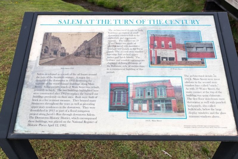
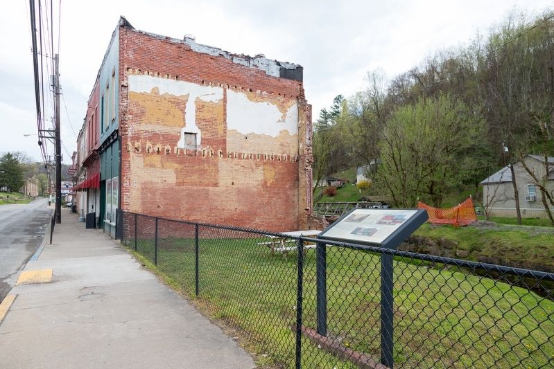
Salem developed as a result of the oil boom around the turn of the twentieth century. A major fire devastated the downtown in 1902 destroying the majority of the wood-framed buildings along Main Street. Subsequently, much of Main Street was rebuilt, primarily in brick. The two buildings highlighted here were constructed after 1902 to replace the burned out buildings previously on their sites. Both were built of brick as a fire resistant measure. They housed many businesses throughout the years as well as providing upper story residences in the downtown. They were demolished in 2011 as part of a flood mitigation project along Jacob’s Run through downtown Salem. The downtown Historic District, which encompassed these buildings, was placed on the National Register of Historic Places April 12, 1982.
The architectural details on both buildings are typical of small downtown construction in the eighteenth and nineteenth century. The cornice on 59 Water Street was made of pressed metal with decorative brackets and panels in the frieze band. The second story window openings had arched upper sashes and brick hoods. The cornice and window openings are character-defining elements of the Italianate style of architecture in a commercial building of this period.
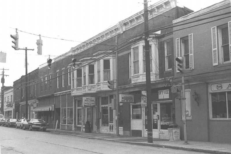
The architectural details on 102 E. Main Street were most obvious in the second story window bays called “oriels.” As with 59 Water Street, the main cornice at the top of the building was quite elaborate. The first floor storefronts were decorative as well with paneled kickpanels, also called bulkheads, below the large display windows and the glass transom windows above.
Topics. This historical marker is listed in these topic lists: Industry & Commerce • Political Subdivisions • Settlements & Settlers. A significant historical date for this entry is April 12, 1982.
Location. 39° 16.959′ N, 80° 33.541′ W. Marker is in Salem, West Virginia, in Harrison County. Marker is at the intersection of East Main Street (Local Road 50/73) and Water Street (Local Road 50/73), on the left when traveling west on East Main Street. Touch for map. Marker is at or near this postal address: 119 E Main St, Salem WV 26426, United States of America. Touch for directions.
Other nearby markers. At least 8 other markers are within 9 miles of this marker, measured as the crow flies. Salem Depot (about 500 feet away, measured in a direct line); Salem (approx. ¼ mile away); Melvin Mayfield (approx. ¼ mile away); Salem Fork Pilot Watershed (approx. ¼ mile away); Industrial Home for Girls (approx. 0.9 miles away); Greenbrier Church & Cemetery (approx. 2.8 miles away); Seventh Day Baptist Cemetery (approx. 2.8 miles away); Center Point Covered Bridge (approx. 8.4 miles away). Touch for a list and map of all markers in Salem.

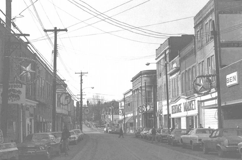
circa 1980
3. Salem, West Virginia
One of the photographs included in the NRHP Salem Historic District Nomination Form.
Click for more information.
Click for more information.
Credits. This page was last revised on January 24, 2022. It was originally submitted on May 25, 2021, by J. J. Prats of Powell, Ohio. This page has been viewed 415 times since then and 60 times this year. Photos: 1, 2, 3, 4. submitted on May 25, 2021, by J. J. Prats of Powell, Ohio.


