Mechanicsburg in Champaign County, Ohio — The American Midwest (Great Lakes)
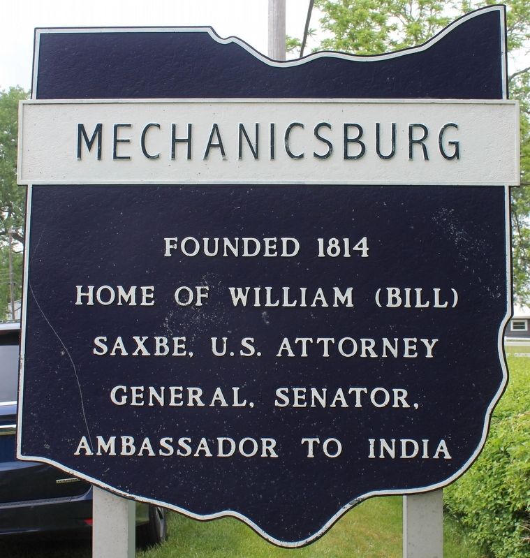
Mechanicsburg
Erected by Ohio Historical Society; Ohio Department of Transportation; Ohio Bicentennial Commission.
Topics and series. This historical marker is listed in these topic lists: Government & Politics • Settlements & Settlers. In addition, it is included in the Ohio Historical Society / The Ohio History Connection series list. A significant historical year for this entry is 1814.
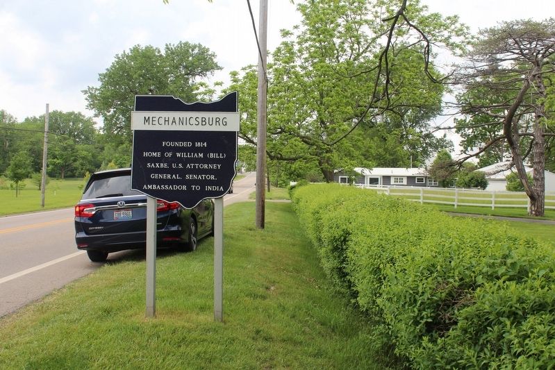
Location. 40° 4.043′ N, 83° 33.044′ W. Marker is in Mechanicsburg, Ohio, in Champaign County. Marker is on South Main Street (Ohio Route 29) 0.3 miles north of Rosedale Road (County Road 197), on the right when traveling north. Touch for map. Marker is at or near this postal address: 176 S Main St, Mechanicsburg OH 43044, United States of America. Touch for directions.
Other nearby markers. At least 8 other markers are within walking distance of this marker. James Roy Hopkins (approx. 0.4 miles away); Addison White (approx. 0.4 miles away); W.W. I Veterans Memorial (approx. 0.4 miles away); Second Baptist Church (approx. 0.4 miles away); Mechanicsburg United Methodist Church (approx. half a mile away); Maple Grove Spanish American War Memorial (approx. 0.8 miles away); Maple Grove World War Memorial (approx. 0.9 miles away); Joseph E. Wing (approx. 0.9 miles away). Touch for a list and map of all markers in Mechanicsburg.
Regarding Mechanicsburg. Check out this article about William Saxbe's childhood and service to his country at https://www.cleveland.com/metro/2010/08/former_us_sen_william_b_saxbe.html
Credits. This page was last revised on May 30, 2021. It was originally submitted on May 28, 2021, by Robert Baughman of Bellefontaine, Ohio. This page has been viewed 234 times since then and 39 times this year. Photos: 1, 2, 3. submitted on May 28, 2021, by Robert Baughman of Bellefontaine, Ohio. • Devry Becker Jones was the editor who published this page.


