San Felipe del Progreso, Mexico State, Mexico — The Central Highlands (North America)
The Town of San Felipe del Obraje
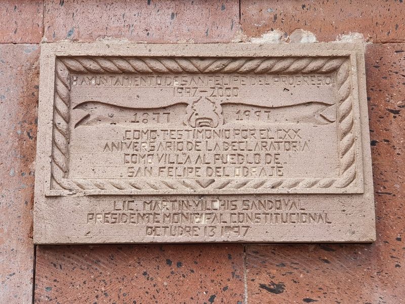
H. Ayuntamiento de San Felipe del Progreso
1997-2000
1877-1997
Como testimonio por el CXX aniversario de la declatoria como villa al pueblo de San Felipe del Obraje
Lic. Martin Vilchis Sandoval
Presidente Municipal Constitucional
Octubre 13 1997
The Honorable City Council of San Felipe del Progreso
1997-2000
1877-1997
As a testimony on the 120th anniversary of the declaration of the village converting to the town of San Felipe del Obraje
Martín Vilchis Sandoval
Constitutional Municipal President
October 13, 1997
Erected 1997 by Honorable Ayuntamiento de San Felipe del Progreso de 1997-2000.
Topics. This historical marker is listed in this topic list: Political Subdivisions. A significant historical date for this entry is October 13, 1997.
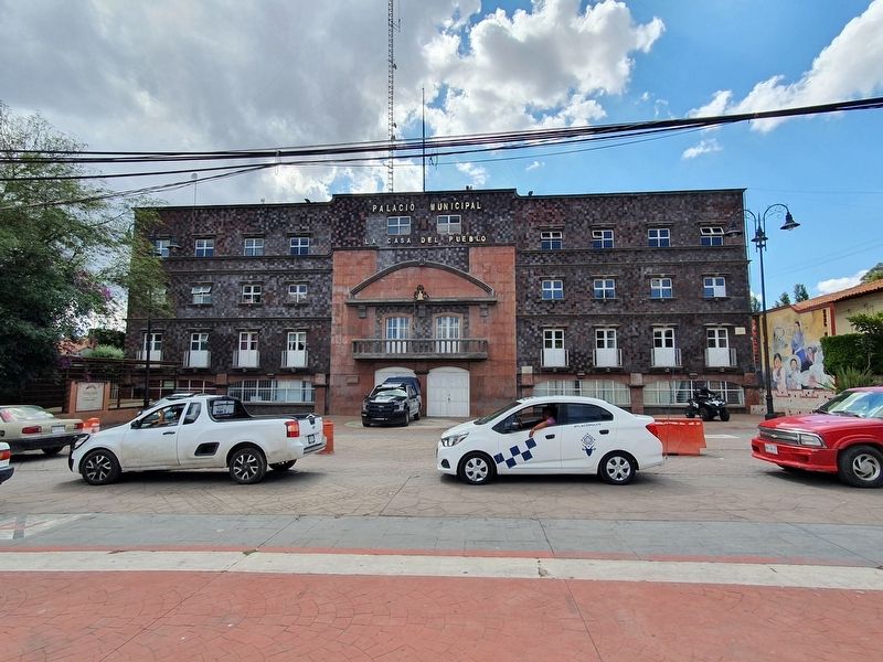
Location. 19° 42.827′ N, 99° 57.19′ W. Marker is in San Felipe del Progreso, Estado de Mexico (Mexico State). Marker is on Calle Benito Juárez just south of Miguel Hidalgo, on the right when traveling south. Touch for map. Marker is in this post office area: San Felipe del Progreso MEX 50640, Mexico. Touch for directions.
Other nearby markers. At least 8 other markers are within 13 kilometers of this marker, measured as the crow flies. José de Jesus Francisco Pedraza Contreras (within shouting distance of this marker); Church of San Felipe (about 90 meters away, measured in a direct line); Fernando Orozco y Berra (about 120 meters away); "Astucia" by Luis G. Inclán (about 120 meters away); Manuel Gómez Marín (about 120 meters away); Antonio Campos y Moreno (about 120 meters away); Isidro Fabela Cultural Center (approx. 12.6 kilometers away); Dr. Arturo Vélez Martínez (approx. 12.6 kilometers away). Touch for a list and map of all markers in San Felipe del Progreso.
Also see . . . San Felipe del Progreso at Wikipedia. (Submitted on May 28, 2021, by J. Makali Bruton of Accra, Ghana.)

Photographed By J. Makali Bruton, May 16, 2021
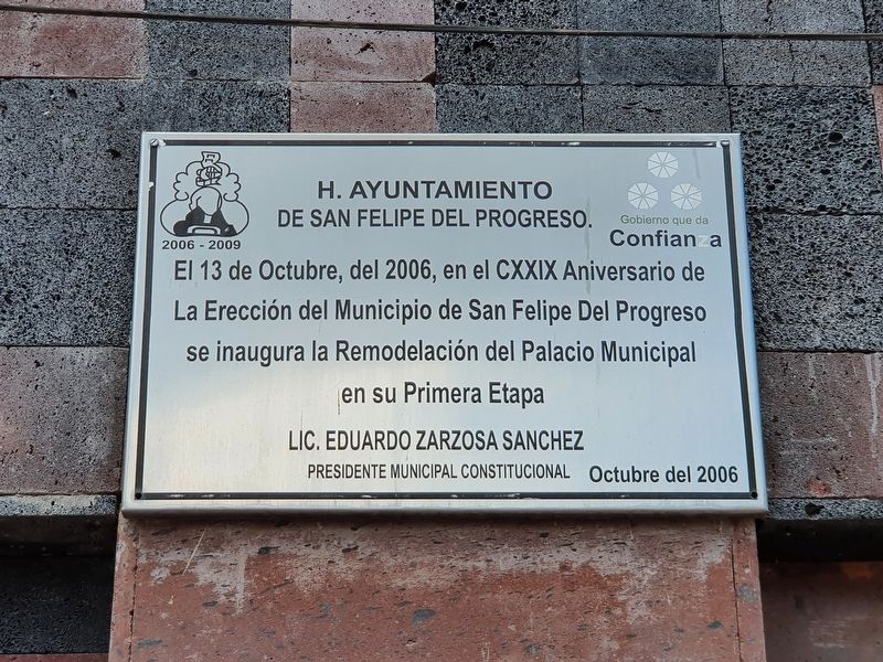
2. 129th anniversary of the Municipality of San Felipe del Progreso
Nearby is this additional marker from 2006 celebrating the creation of the Municipality of San Felipe del Progreso in 1877, although previously the municipality was called San Felipe del Obraje and was created in 1826. Originally the village was known as San Felipe el Grande and was founded in 1552.
Credits. This page was last revised on May 28, 2021. It was originally submitted on May 28, 2021, by J. Makali Bruton of Accra, Ghana. This page has been viewed 107 times since then and 17 times this year. Photos: 1, 2, 3. submitted on May 28, 2021, by J. Makali Bruton of Accra, Ghana.

