West Bloomfield Township in Sylvan Lake in Oakland County, Michigan — The American Midwest (Great Lakes)
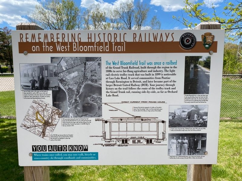
Remembering Historic Railways
on the West Bloomfield Trail
Photographed by J.T. Lambrou, May 13, 2021
1. Remembering Historic Railways Marker
You Auto Know
Where trains once rolled, you may now walk, bicycle or cross-country ski through woodlands and communities.
Far left top image caption:
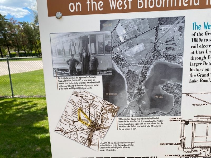
The first trolley system in the region was the Pontiac & Sylvan Lake Rail Co., built in 1895 to carry visitors and investors from Pontiac to the Sylvan Lake Inn and newly-built subdivisions. Unless noted otherwise, all photos are courtesy of the Greater West Bloomfield Historical Society.
Far left bottom image caption:
In this 1909 DUR map showing trolley lines throughout southeast Michigan, the lines between Detroit, Orchard Lake and
this page online
Near left image caption:
1940 aerial photo showing the Grand Trunk Railroad line that became the West Bloomfield Trail. It curves south past the Pine Lake Country Club golf course (upper right) and down between Pine Lake and Orchard Lake. The faint trace beside it is the DUR trolley line that was removed in 1929.
Near right image caption:
Drawing of the electrical components of a trolley car. The vehicle's name is from the overhead "trolley" arm that carried electric power from the cable to the trolley car. Image courtesy of Brian Golden.
Far right top image caption:
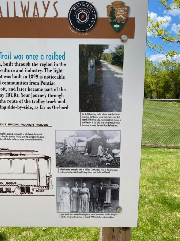
The West Bloomfield Trail is a linear park about seven miles long that follows former train tracks from West Bloomfield to Sylvan Lake. This railroad mile marker is near the spot at Cass Lake Road where the DUR trolley line swung in beside the Grand Trunk Railroad line.
Far right middle image caption:
A family camps among the lakes of Oakland County, about 1910. In the early 1900s, trolleys and automobiles brought many visitors from Pontiac and Detroit.
Far right bottom image caption:
Apple
Photographed by J.T. Lambrou, May 13, 2021
2. Remembering Historic Railways Marker
Left side of marker
Erected by Motorcities National Heritage Area, National Park Service.
Topics and series. This historical marker is listed in this topic list: Railroads & Streetcars. In addition, it is included in the MotorCities National Heritage Area series list.
Location. 42° 36.332′ N, 83° 20.227′ W. Marker is in Sylvan Lake, Michigan, in Oakland County. It is in West Bloomfield Township. It is on Woodrow Wilson Boulevard 0.1 miles north of Depew Drive, on the right when traveling south. Located at the entrance to the West Bloomfield Trail East Trailhead in Sylvan Manor Park. Touch for map. Marker is at or near this postal address: 2294 Woodrow Wilson Boulevard, Keego Harbor MI 48320, United States of America. Touch for directions.

Regionally, this marker is in Southeast Michigan and in Greater Detroit. It is also in the American Midwest. Globally, it is in North America, the Western Hemisphere, the Western World, and the Anglosphere.
Photographed by J.T. Lambrou, May 13, 2021
3. Remembering Historic Railways Marker
Right side of marker
Other nearby markers. At least 8 other markers are within one mile of this marker, measured as the crow flies: "Motoring" to Pine Lake (approx. 0.4 miles away); In Good Company (approx. half a mile away); Learning and Growing (approx. 0.6 miles away); A Lake and a Trolley (approx. ¾ mile away); Sylvan Lake Inn (approx. 0.9 miles away); Oakland County Boat Club (approx. one mile away); New Life for Children (approx. one mile away); The Great Escape (approx. 1.1 miles away). Touch for a list and map of all markers in Sylvan Lake.
Photographed by J.T. Lambrou, May 13, 2021
4. Remembering Historic Railways Marker
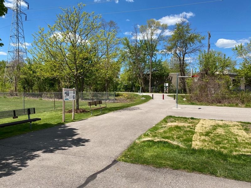
Marker located at West Bloomfield Trail East Trailhead
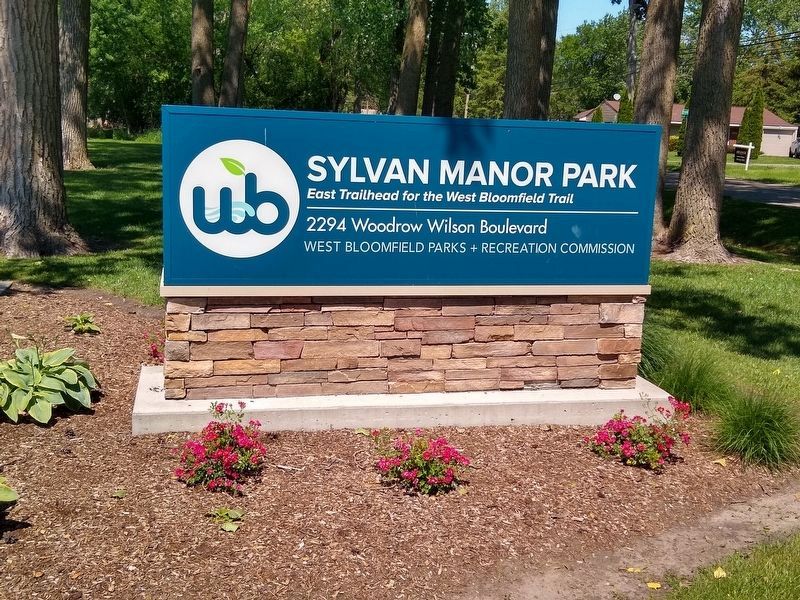
Photographed by Joel Seewald, June 13, 2021
5. Sylvan Manor Park sign
Credits. This page was last revised on August 8, 2024. It was originally submitted on May 30, 2021, by J.T. Lambrou of New Boston, Michigan. This page has been viewed 712 times since then and 34 times this year. Photos: 1, 2, 3, 4. submitted on May 30, 2021, by J.T. Lambrou of New Boston, Michigan. 5. submitted on June 23, 2021, by Joel Seewald of Madison Heights, Michigan. • Mark Hilton was the editor who published this page.
