Coloma in El Dorado County, California — The American West (Pacific Coastal)
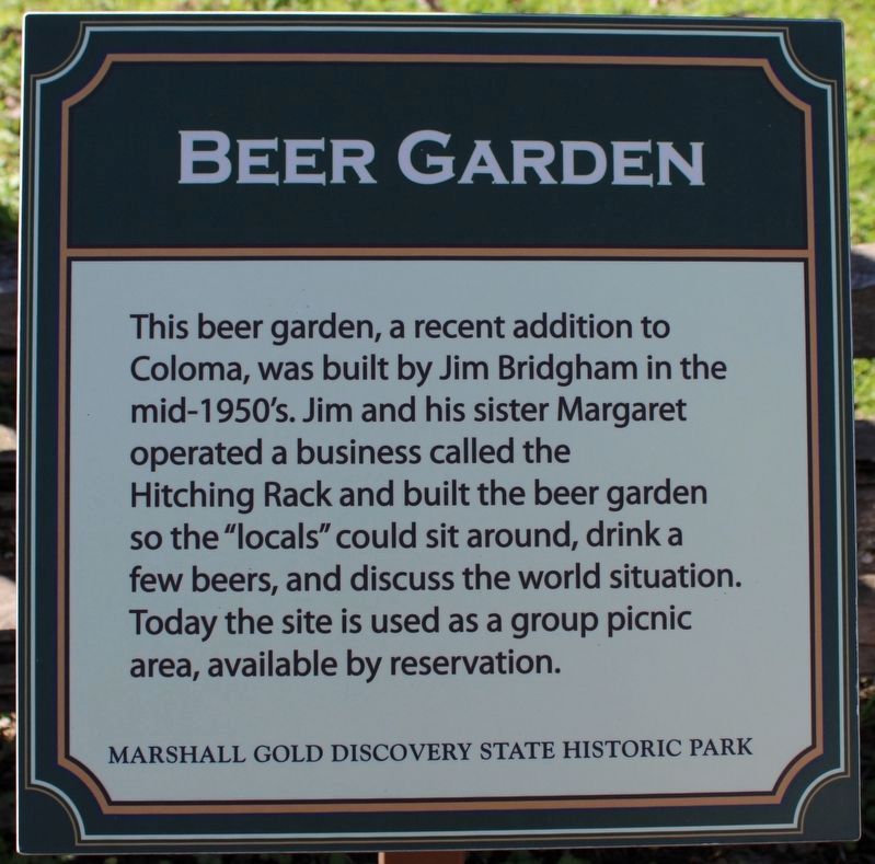
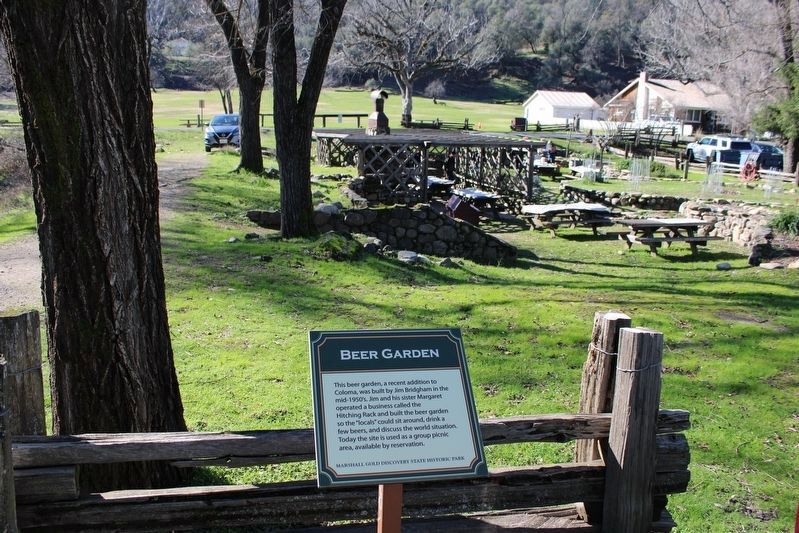
Beer Garden
Erected by Marshall Gold Discovery State Historic Park.
Topics. This historical marker is listed in this topic list: Industry & Commerce.
Location. 38° 48.008′ N, 120° 53.457′ W. Marker is in Coloma, California, in El Dorado County. Marker is on Coloma Road (California Route 49) south of Mt Murphy Road, on the right when traveling south. Marker is located within the boundaries of the Marshall Gold Discovery State Historic Park. Touch for map. Marker is in this post office area: Coloma CA 95613, United States of America. Touch for directions.
Other nearby markers. At least 8 other markers are within walking distance of this marker. What Happened To All The Buildings? (here, next to this marker); Metropolitan Saloon and Bowling Alley (a few steps from this marker); Site of Coloma’s Law Offices (a few steps from this marker); Site of Wright's Store (within shouting distance of this marker); Site of Adams and Company Express (within shouting distance of this marker); Schulze House (within shouting distance of this marker); Weller House (within shouting distance of this marker); Site of Doctor Taylor's Store (within shouting distance of this marker). Touch for a list and map of all markers in Coloma.
Also see . . . Marshall Gold Discovery State Historic Park Site Map. Mapping locations of historic sites and buildings in Coloma. (Submitted on March 28, 2009, by Syd Whittle of Mesa, Arizona.)
Credits. This page was last revised on January 31, 2023. It was originally submitted on March 28, 2009, by Syd Whittle of Mesa, Arizona. This page has been viewed 1,422 times since then and 34 times this year. Photos: 1. submitted on January 31, 2023, by Joseph Alvarado of Livermore, California. 2. submitted on March 28, 2009, by Syd Whittle of Mesa, Arizona. 3. submitted on January 31, 2023, by Joseph Alvarado of Livermore, California. 4. submitted on March 28, 2009, by Syd Whittle of Mesa, Arizona.


