Grantsville in Calhoun County, West Virginia — The American South (Appalachia)
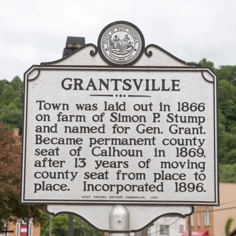
Grantsville
Erected 1963 by West Virginia Historic Commission.
Topics. This historical marker is listed in this topic list: Political Subdivisions. A significant historical year for this entry is 1866.
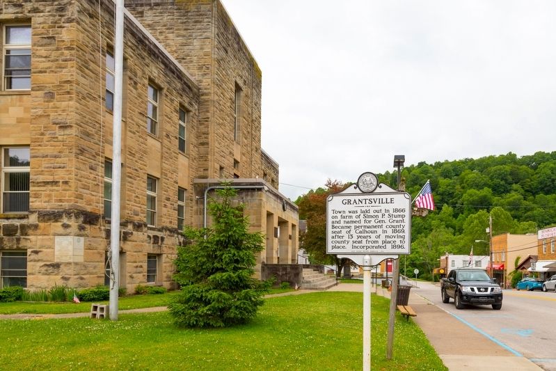
Location. 38° 55.42′ N, 81° 5.737′ W. Marker is in Grantsville, West Virginia, in Calhoun County. Marker is at the intersection of Main Street (West Virginia Route 5) and Court Street, on the left when traveling west on Main Street. Touch for map. Marker is at or near this postal address: 363 Main St, Grantsville WV 26147, United States of America. Touch for directions.
Other nearby markers. At least 8 other markers are within 8 miles of this marker, measured as the crow flies. In Memoriam CSM Clovis Drexell Ice (a few steps from this marker); Calhoun County Veterans Memorial (within shouting distance of this marker); Stump Hotel (about 300 feet away, measured in a direct line); Honoring E. Dean Starcher (approx. 3.7 miles away); First County Court (approx. 5.1 miles away); Job’s Temple (approx. 7.2 miles away); a different marker also named Job's Temple (approx. 7.2 miles away); Gilmer County / Calhoun County (approx. 7.6 miles away). Touch for a list and map of all markers in Grantsville.
Credits. This page was last revised on June 1, 2021. It was originally submitted on June 1, 2021, by J. J. Prats of Powell, Ohio. This page has been viewed 175 times since then and 34 times this year. Photos: 1, 2. submitted on June 1, 2021, by J. J. Prats of Powell, Ohio.

